
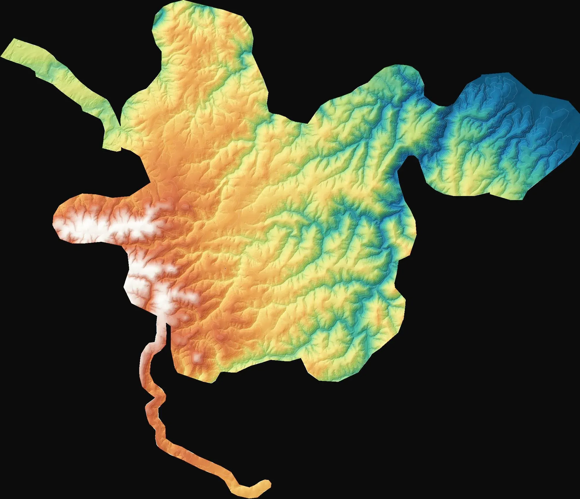
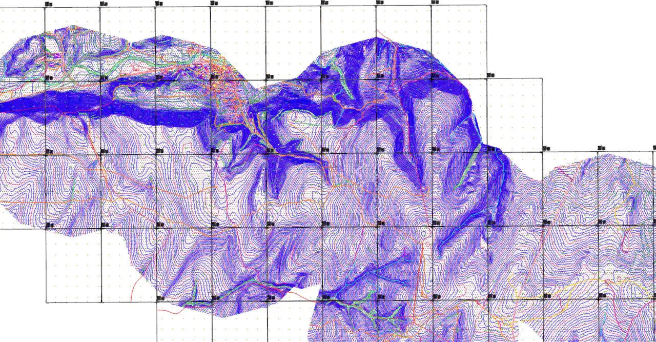
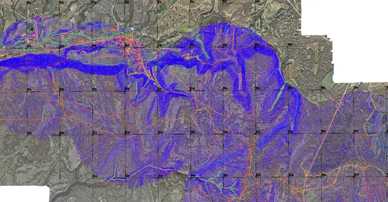
Topographic mapping for three wind farm sites
Demirköy, Kırklareli
To provide 1:1000 and 1:5000 topographic base maps for wind farm design and the Turkish 7/A approval process.
A selection of our field work, from wind farms and quarries to stream improvement and industrial sites. Our 3D models are in the 3D Gallery.
Demirköy, Kırklareli
To provide 1:1000 and 1:5000 topographic base maps for wind farm design and the Turkish 7/A approval process.
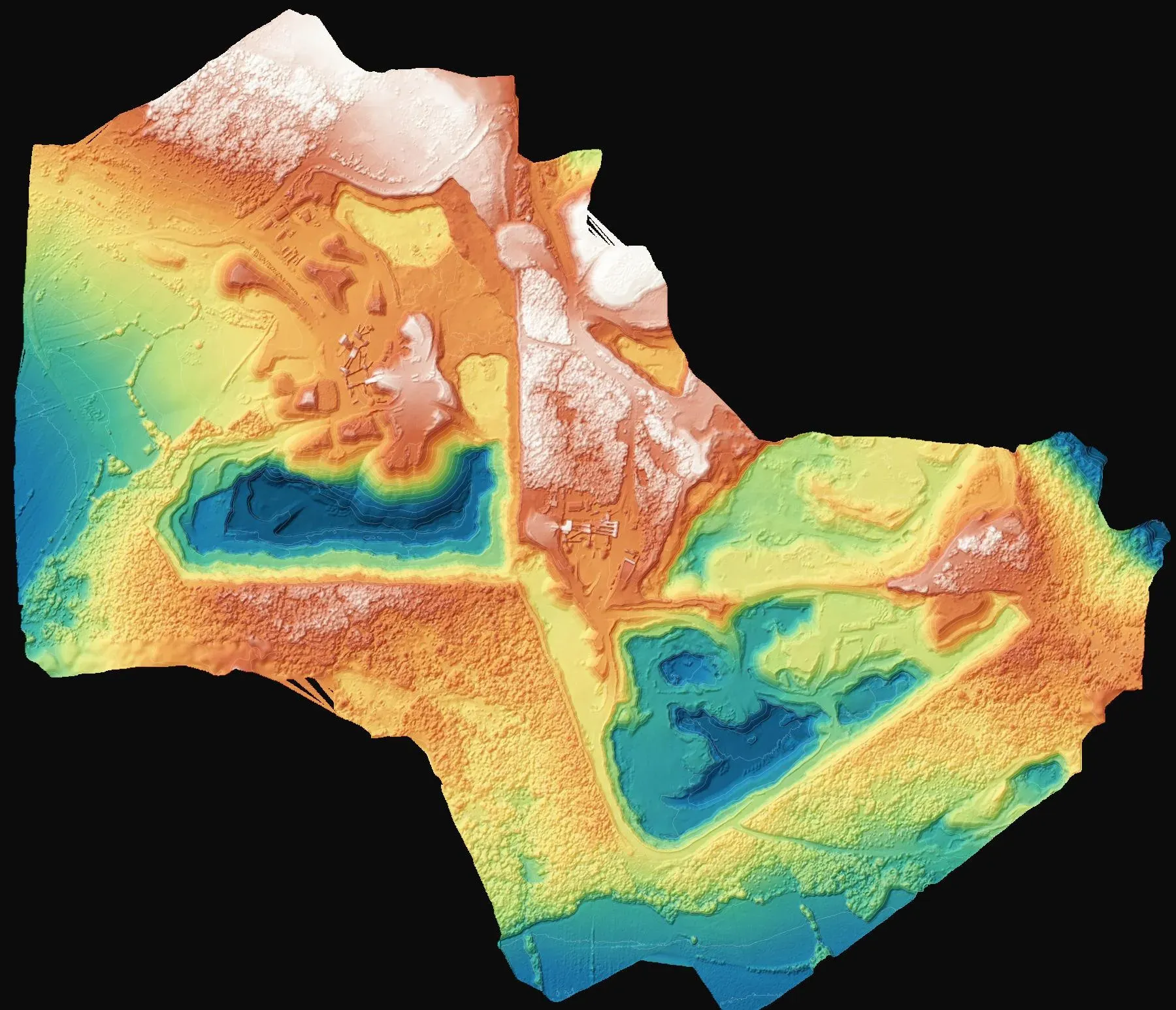
Saray, Tekirdağ
To determine the volume of fill placed in three areas of the quarry site.
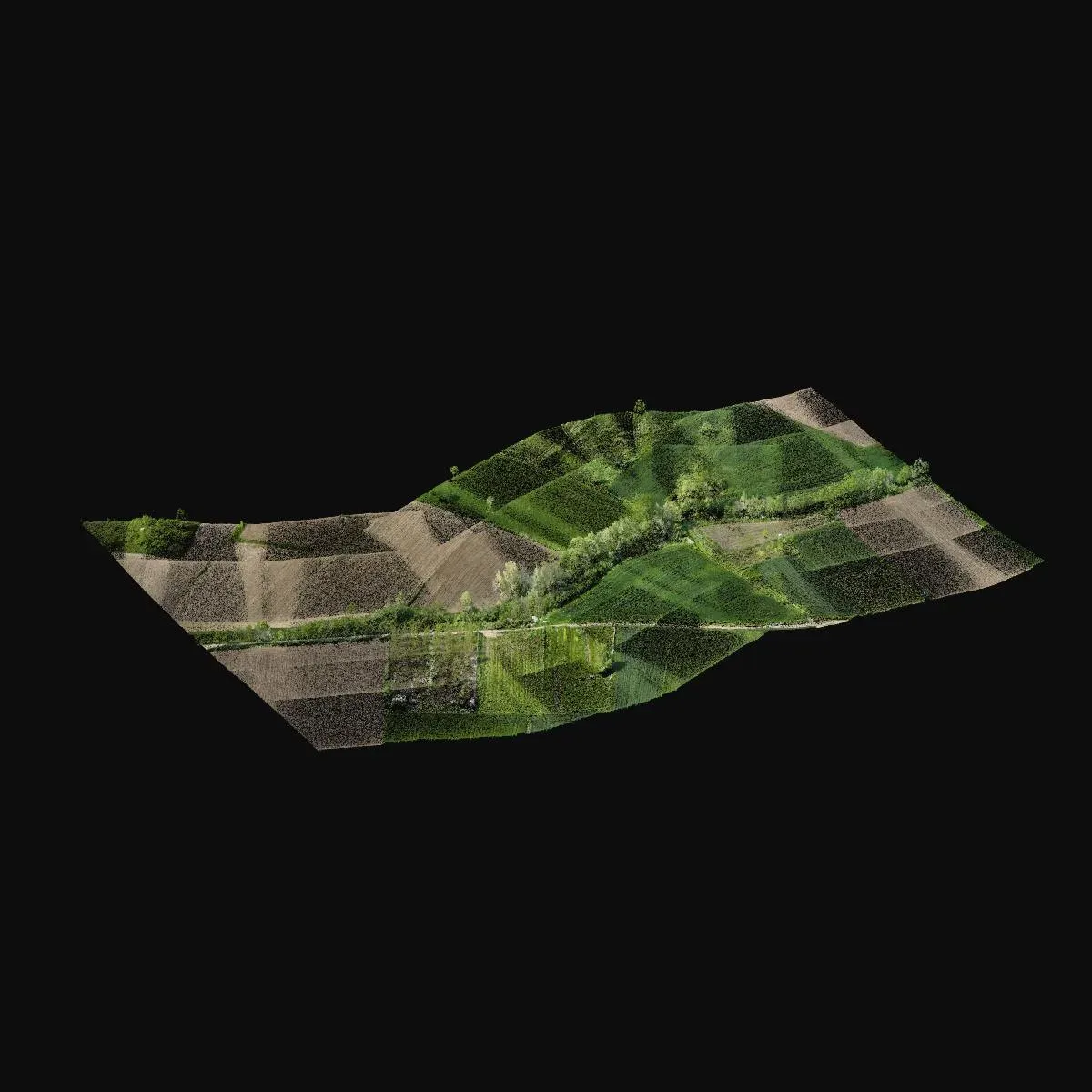
Kırklareli
To capture the channel and surrounding topography as the base for a stream improvement project.
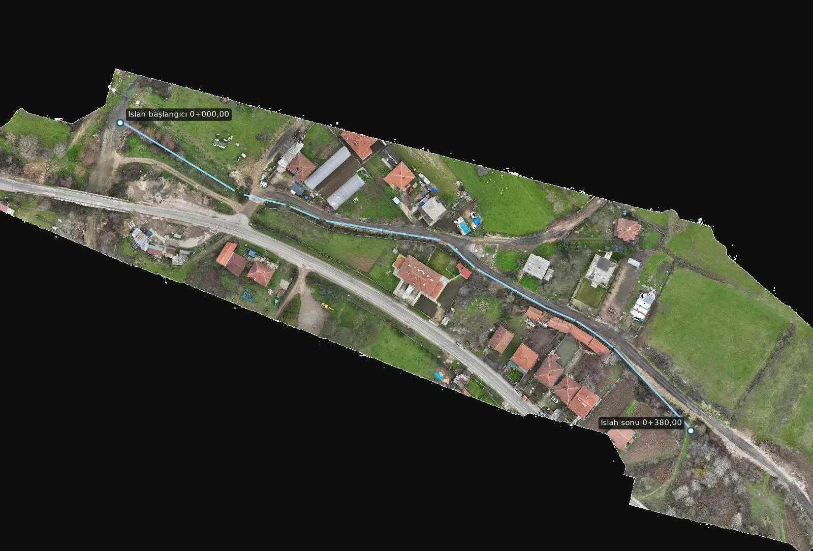
Vize, Kırklareli
To prepare the alignment, longitudinal profiles and cross-sections for improving two stream branches.
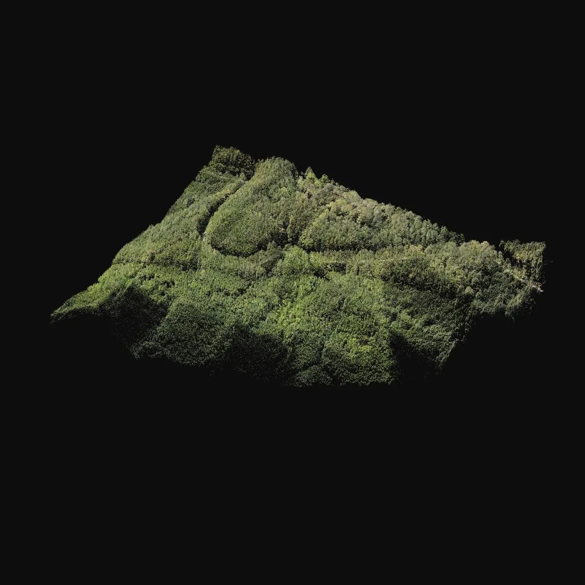
Kırklareli
To complete a forested area missing from the existing map for a road project.
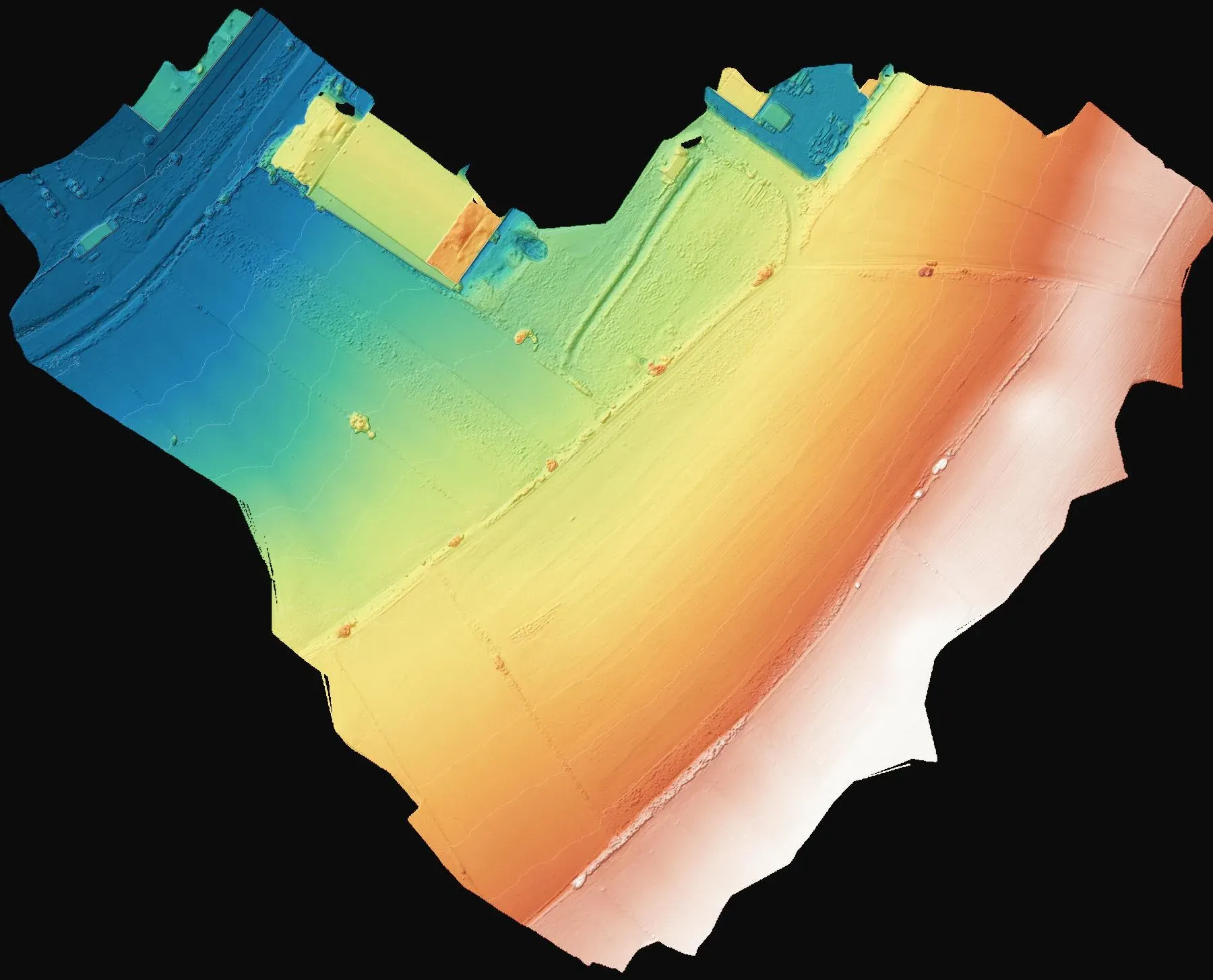
Tekirdağ
To produce a spot-height plan for the design of the plot.
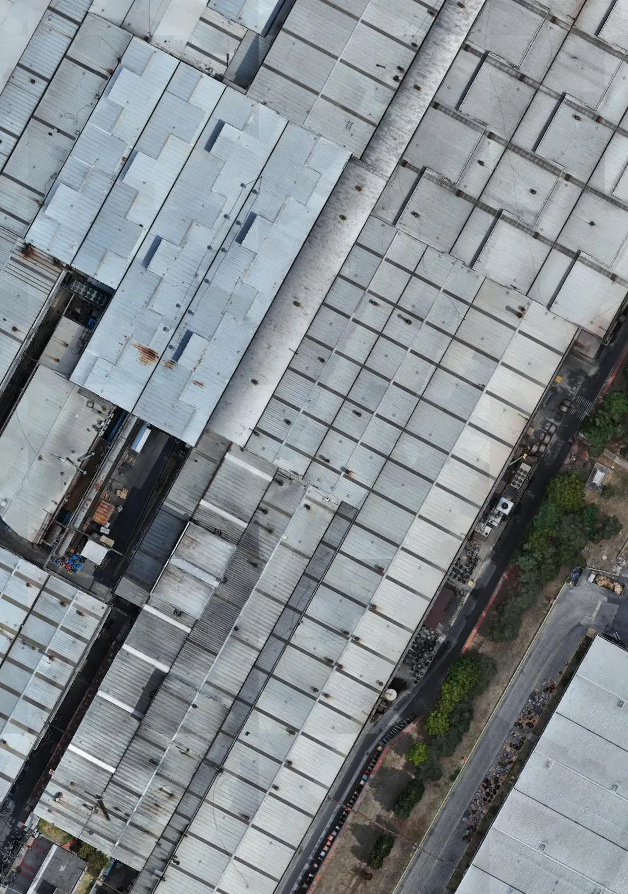
Çerkezköy, Tekirdağ
To calculate the covered and open areas within the facility.
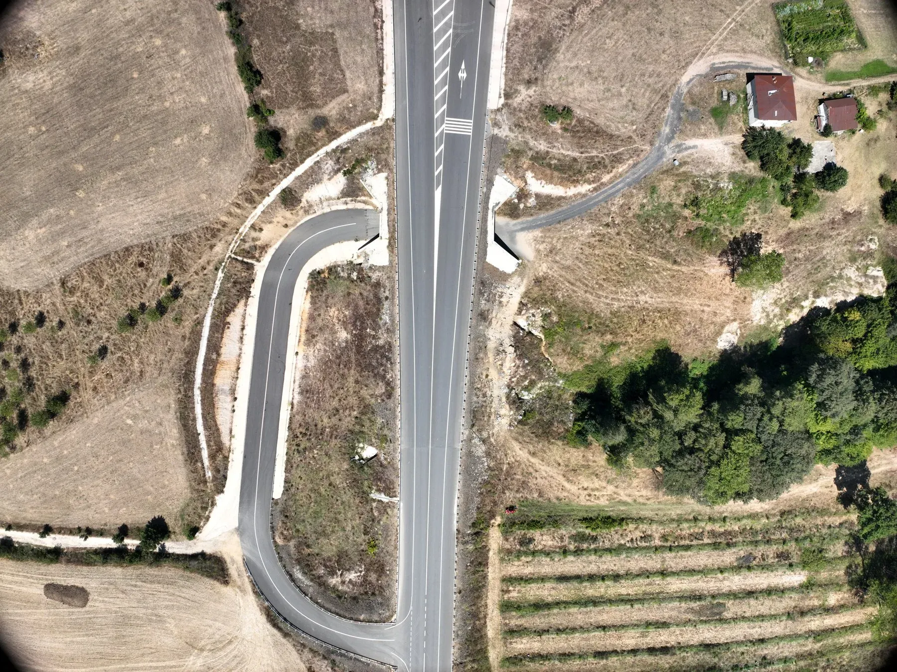
Kırklareli
To document the existing condition of the access roads to the wind farm site.
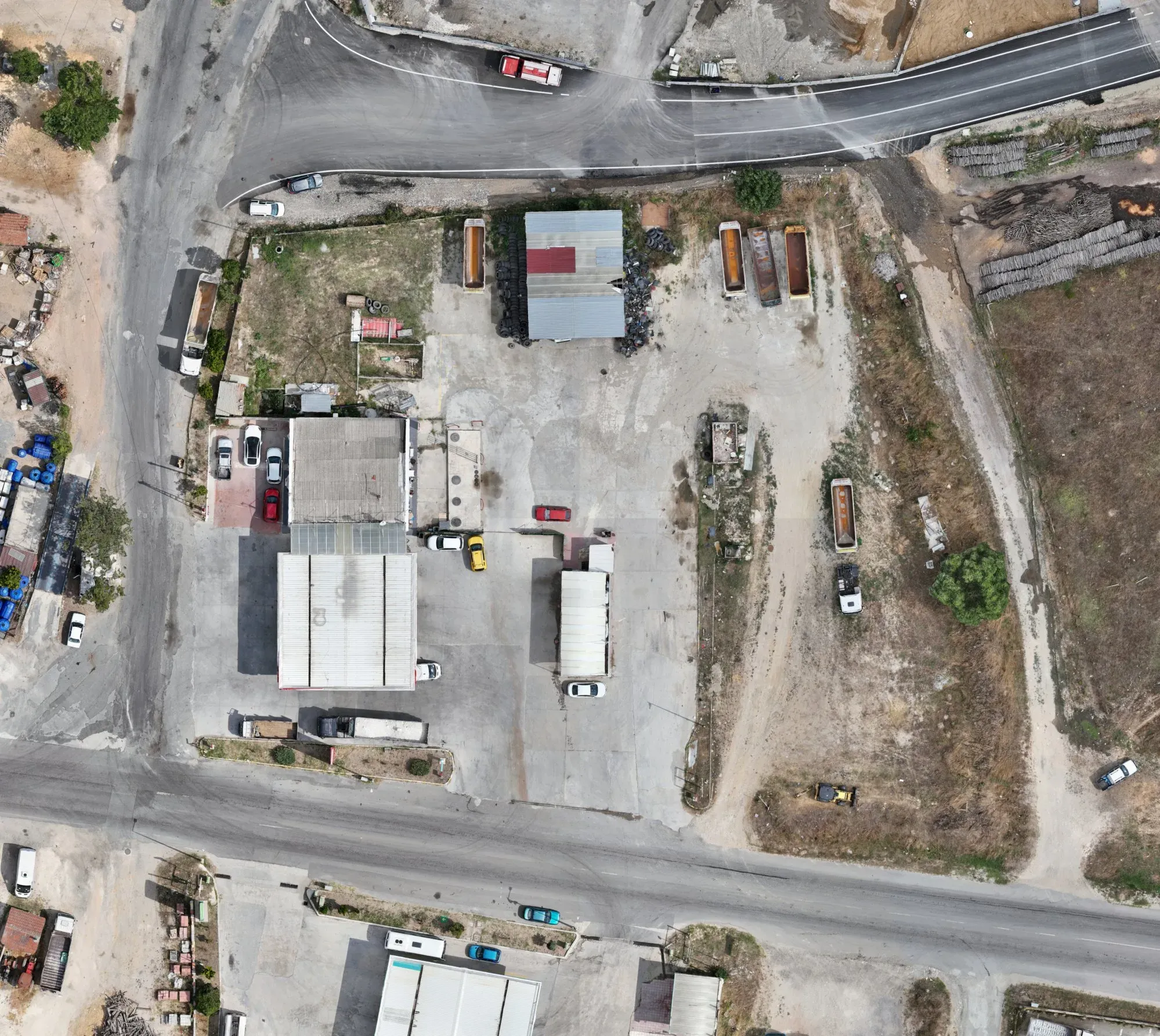
Saray, Tekirdağ
To produce an up-to-date map of the fuel station plot and its surroundings.
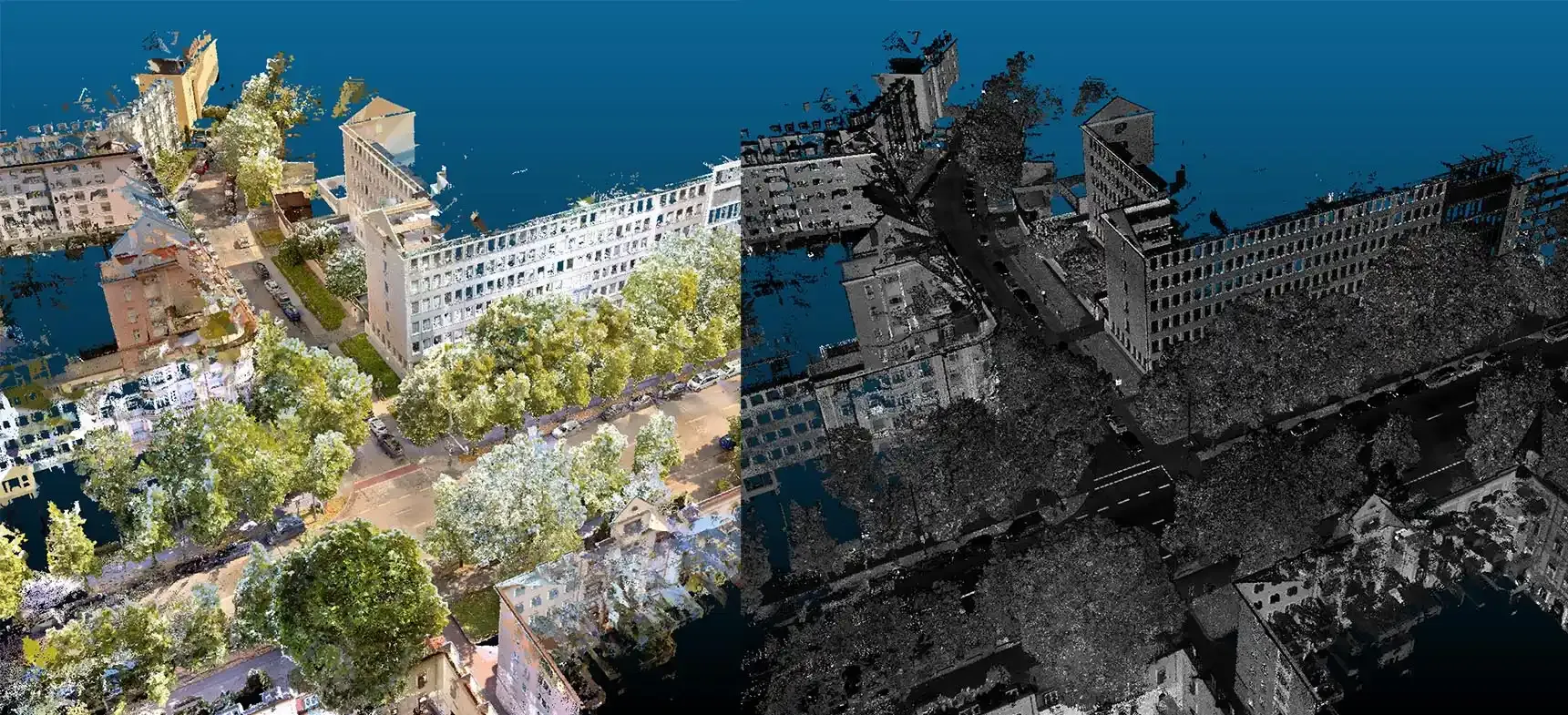
Tekirdağ
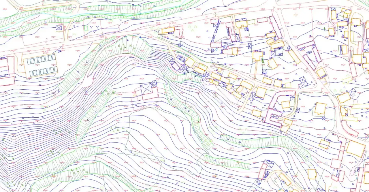
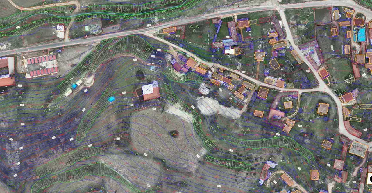
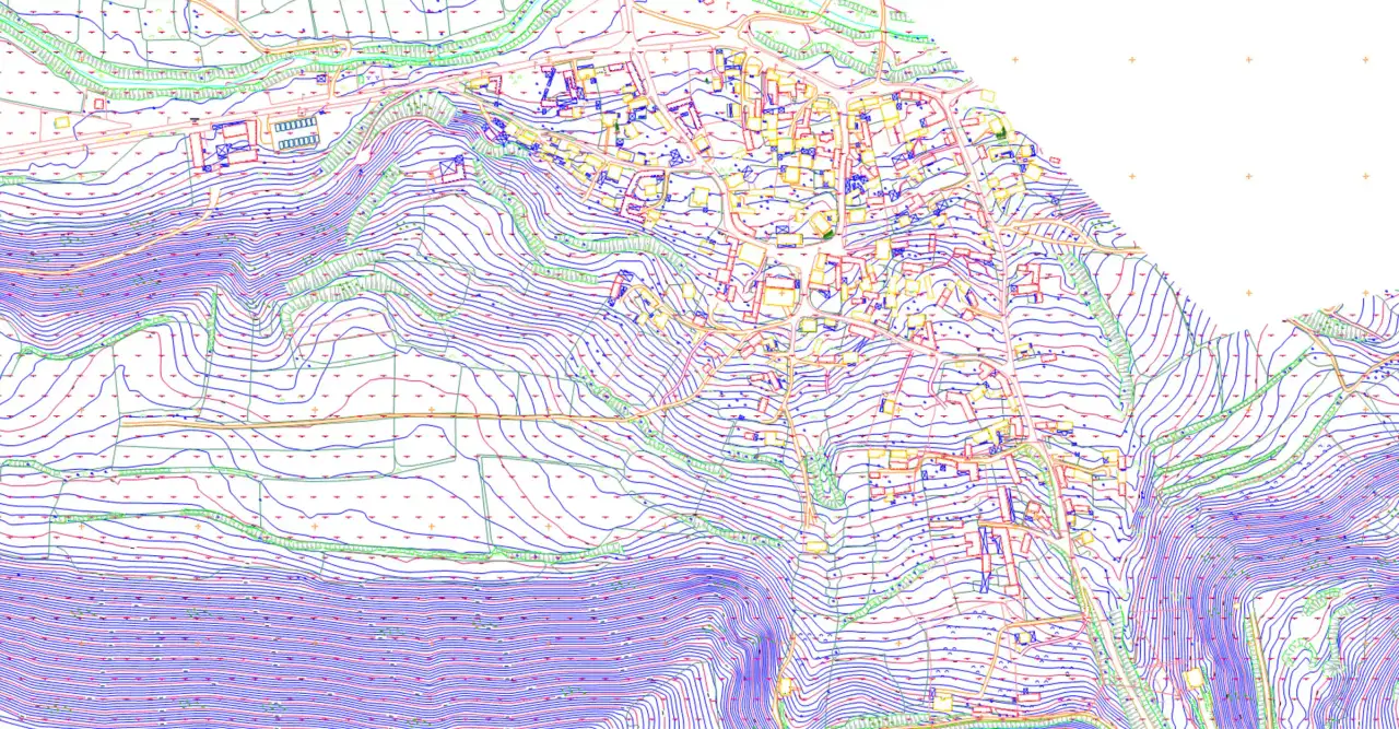
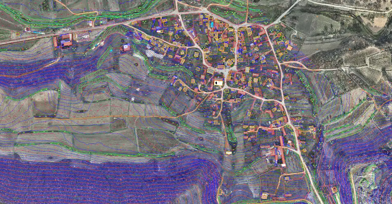
Drag the slider to compare the orthophoto with the delivered drawing.
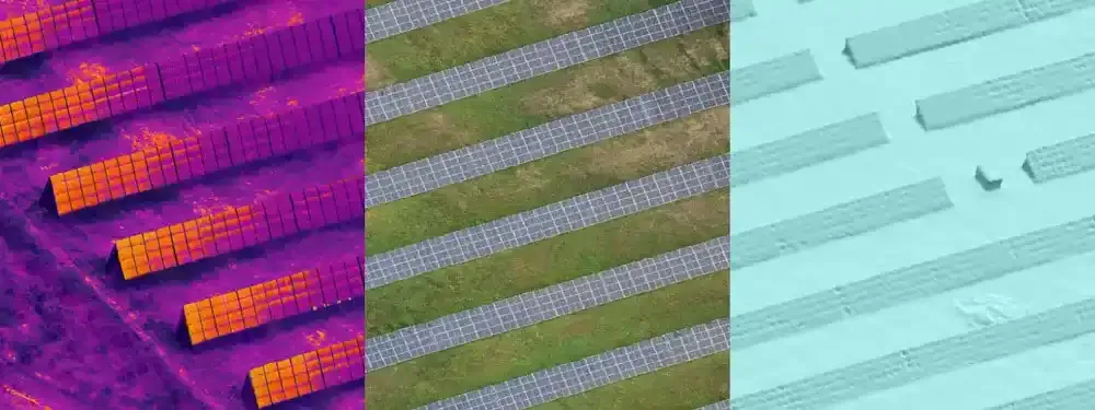
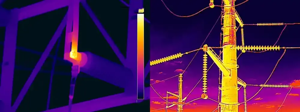
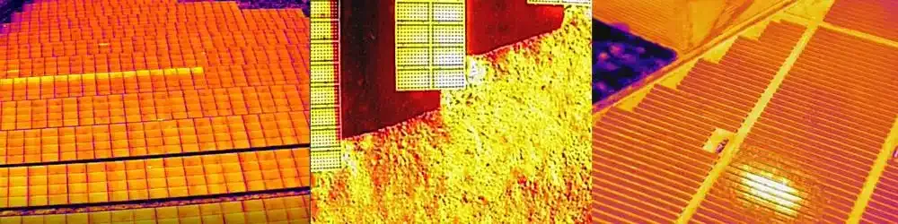
Thermal flights for hotspot detection on solar plants and industrial sites.
Tell us where the site is and what you need, and we'll agree the method and timeline together. Quotes are usually ready within 2–3 working days.