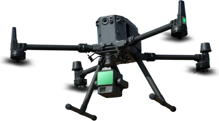
Carrier drone
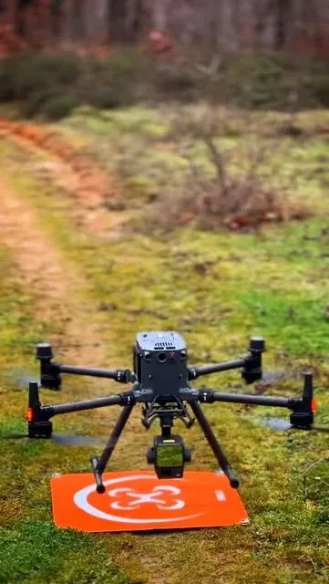
DJI Matrice 350 RTK
RTK positioning, up to 55 minutes of flight and IP55 protection. Carries the P1 and L2.
Mapsurvey Harita Mühendislik is a surveying and mapping company founded in Tekirdağ, in Türkiye's Thrace region. From there we work across Turkey and abroad.
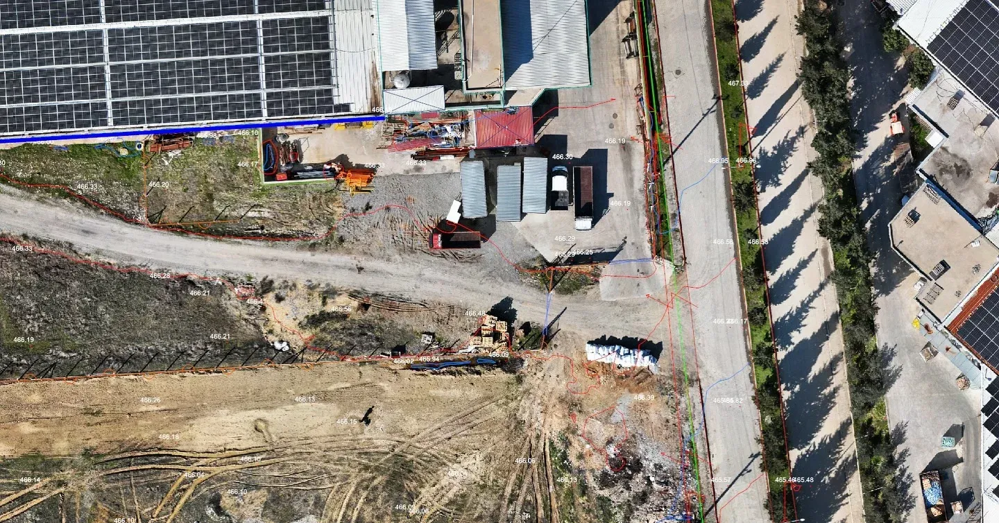
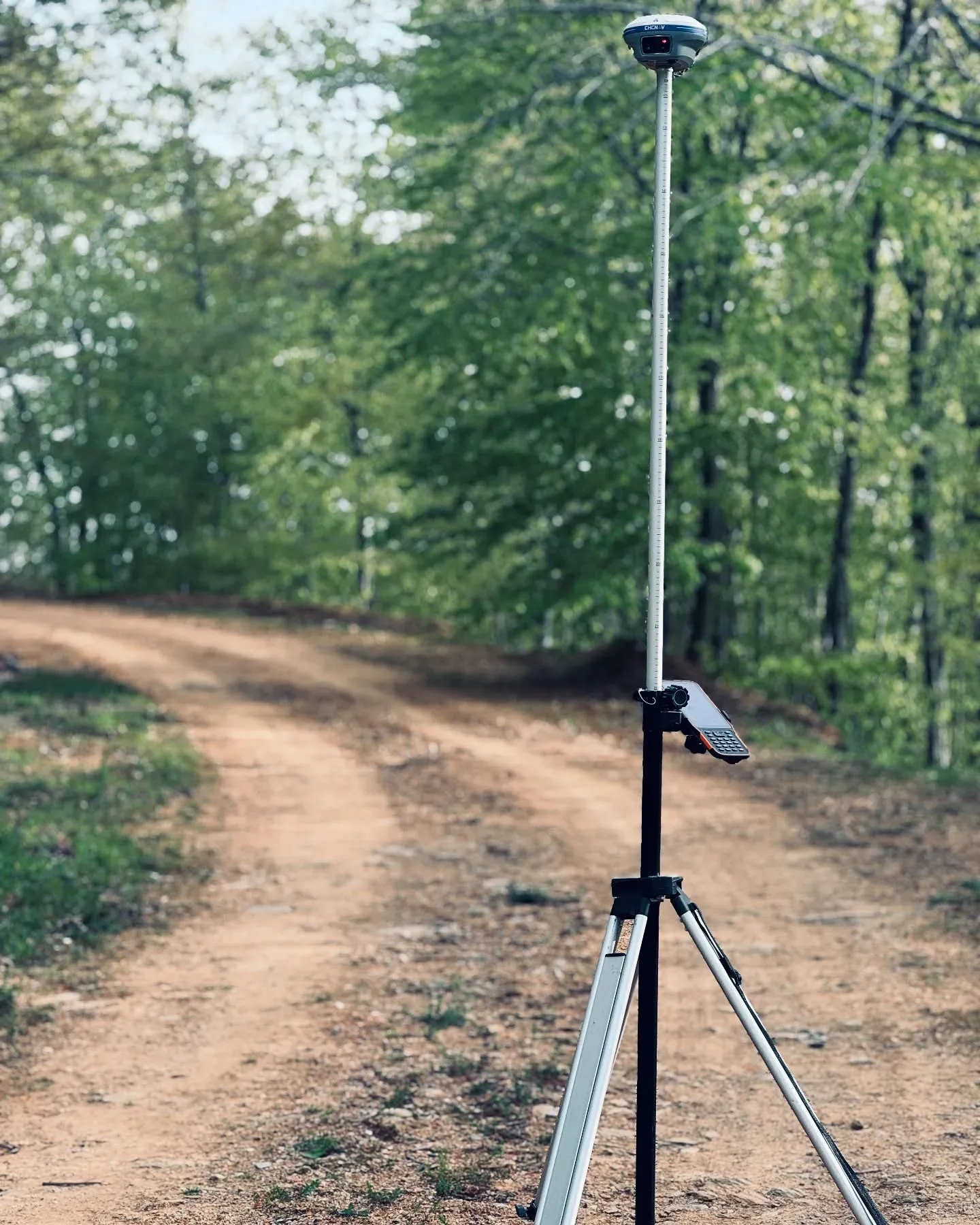
Measurement is at the centre of what we do. We survey large areas by drone, buildings and interiors with terrestrial laser scanners, and control points with GNSS. The same team processes, draws and delivers the data, so the person who knows what happened on site signs off the result.
Every dataset we deliver is tied to a coordinate system and checked against control points. We report the deviations, because you cannot build a project on a measurement of unknown accuracy.
In recent years we found that handing over files was not enough, so we built our own 3D portal. Our clients open their sites in a browser and measure them there.
Akın Onat
Survey and Cadastre Engineer
Samet Bayram
GIS Specialist
Emre Bahar
Architect
Eray Ormanlı
Sales and Marketing
Emre Bayram
Survey Technician
Berk Onat
Survey Technician
Equipment
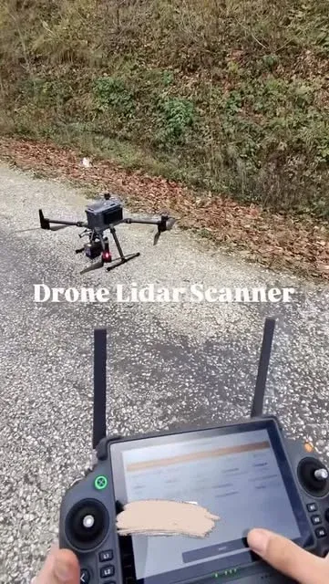
A set of equipment that can fly photogrammetry, fly LiDAR and scan interiors on foot, all on the same day.
Carrier drone
RTK positioning, up to 55 minutes of flight and IP55 protection. Carries the P1 and L2.
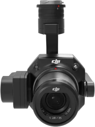
Photogrammetry camera
45 MP full-frame sensor for orthophotos, surface models and textured 3D models.
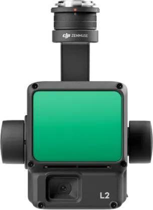
Airborne LiDAR sensor
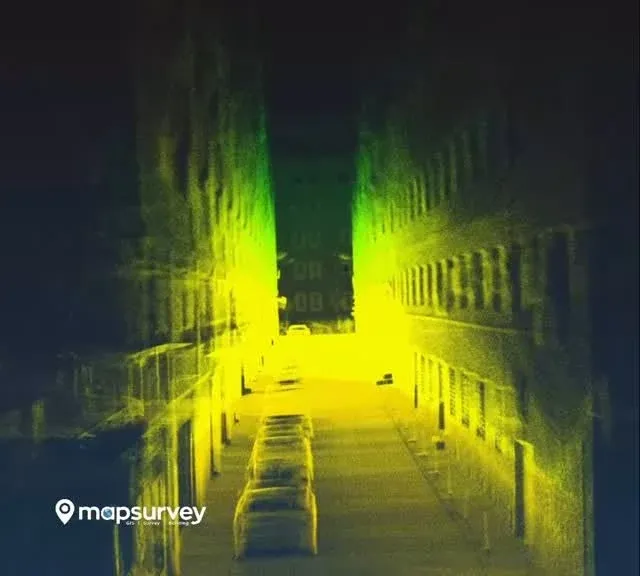
LiDAR and a 20 MP RGB camera in one unit. Measures the ground beneath vegetation.
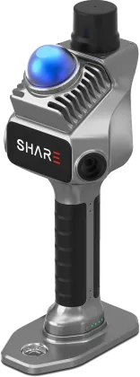
Handheld SLAM scanner
Scanning on foot with 70 m range, true-colour point clouds from twin cameras and built-in RTK.
Product images from the manufacturers (DJI, SHARE); background shots from our own field work.

Bentley

Bentley iTwin

Autodesk ReCap

Virtual Surveyor

NetCAD
































Tell us where the site is and what you need, and we'll agree the method and timeline together. Quotes are usually ready within 2–3 working days.