
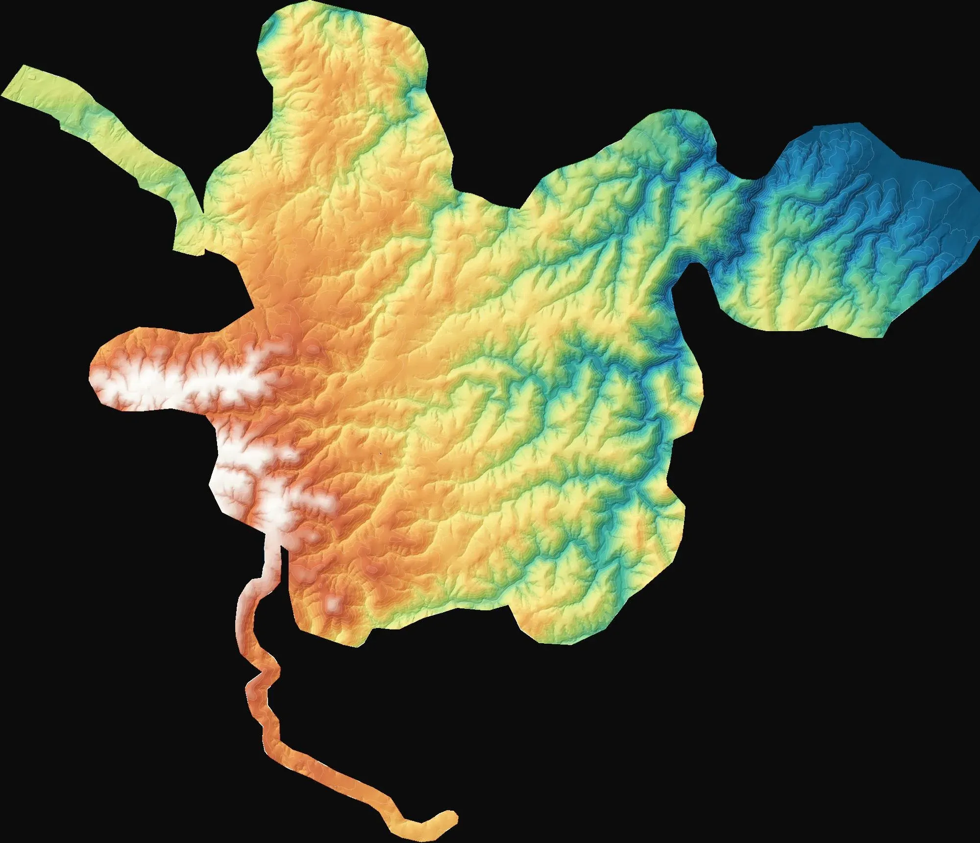
Topographic mapping for three wind farm sites
Demirköy, Kırklareli
To provide 1:1000 and 1:5000 topographic base maps for wind farm design and the Turkish 7/A approval process.
Hotspot detection on solar plants and industrial sites, with a georeferenced thermal map and report.
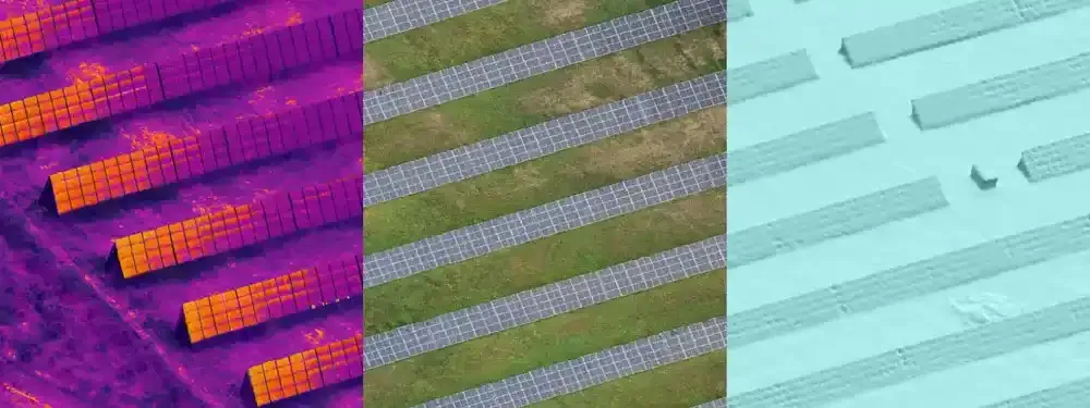
Cell defects, connection faults and soiling on solar panels show up as temperature differences long before they are visible to the eye. A drone with a thermal camera scans an entire plant quickly and locates each faulty panel, so the maintenance crew can walk straight to it.
We fly in irradiance conditions where the measurement is meaningful and process thermal and visual imagery together, matching every finding to its row, string and panel number. The same method is used to find heat loss and overheating on roofs, electrical cabinets and industrial equipment.
Demirköy, Kırklareli
To provide 1:1000 and 1:5000 topographic base maps for wind farm design and the Turkish 7/A approval process.
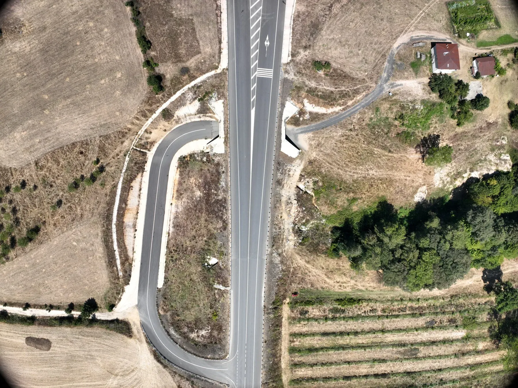
Kırklareli
To document the existing condition of the access roads to the wind farm site.
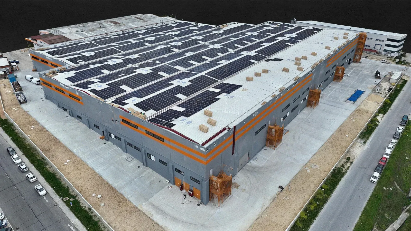
Çerkezköy OSB, Tekirdağ
3D model and topographic base map of the Bross Textile factory in Çerkezköy Industrial Zone, Tekirdağ, produced after its solar installation.
Tell us where the site is and what you need, and we'll agree the method and timeline together. Quotes are usually ready within 2–3 working days.