
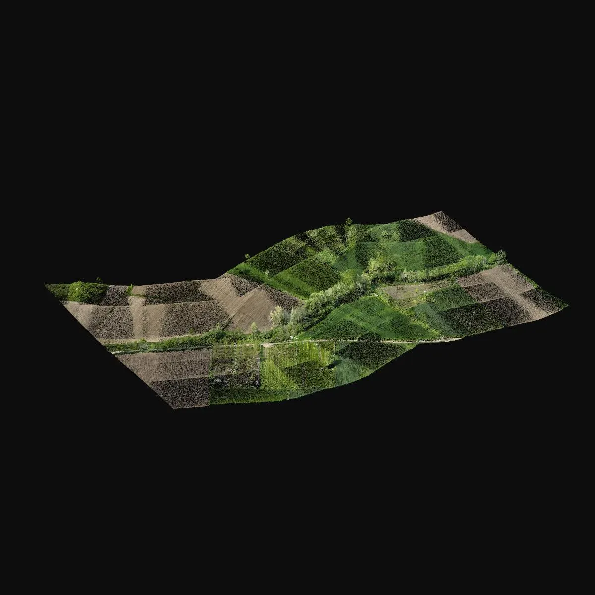
LiDAR topographic mapping of a stream corridor
Kırklareli
To capture the channel and surrounding topography as the base for a stream improvement project.
Dense point clouds of buildings, plants and terrain from handheld SLAM and airborne LiDAR, turned into drawings and BIM.
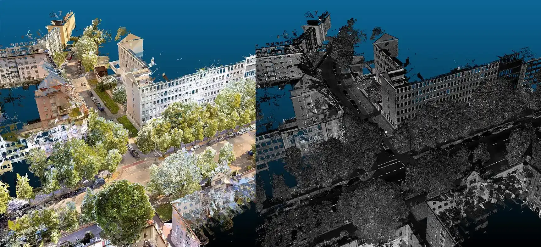
Laser scanning measures a surface directly instead of reconstructing it from photographs. The scanner records the distance to hundreds of thousands of points every second, producing a dense point cloud of the building or terrain that you can measure. An as-built survey that would take days with a tape is captured on site in a few hours and drawn up in the office at the scale you need.
We work with two scanners. The SHARE S20 is a handheld SLAM scanner: scanning continues while the operator walks through the building, so interiors, basements, tunnels and narrow corridors are captured quickly. The DJI Zenmuse L2 is an airborne LiDAR sensor mounted on the Matrice 350 RTK; it reaches the ground through vegetation and produces terrain models even in wooded areas.
Scan data is tied to control points measured with GNSS and placed in the national reference frame (TUREF), so the point cloud lines up with base maps and drone data. A local grid is also available when the project needs it.
Kırklareli
To capture the channel and surrounding topography as the base for a stream improvement project.
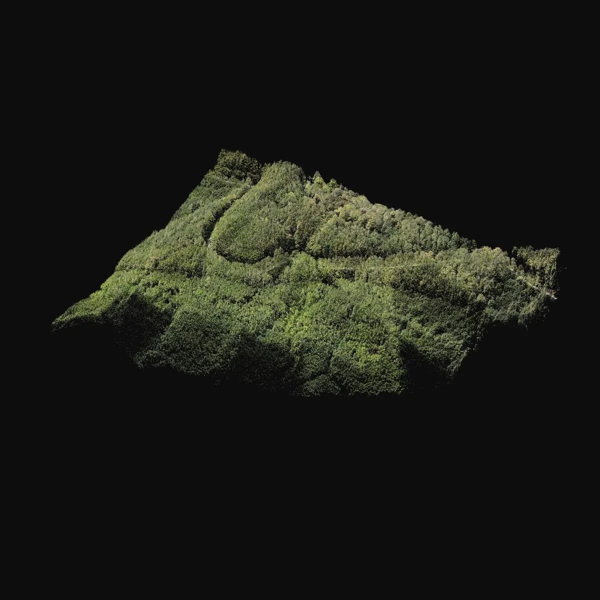
Kırklareli
To complete a forested area missing from the existing map for a road project.
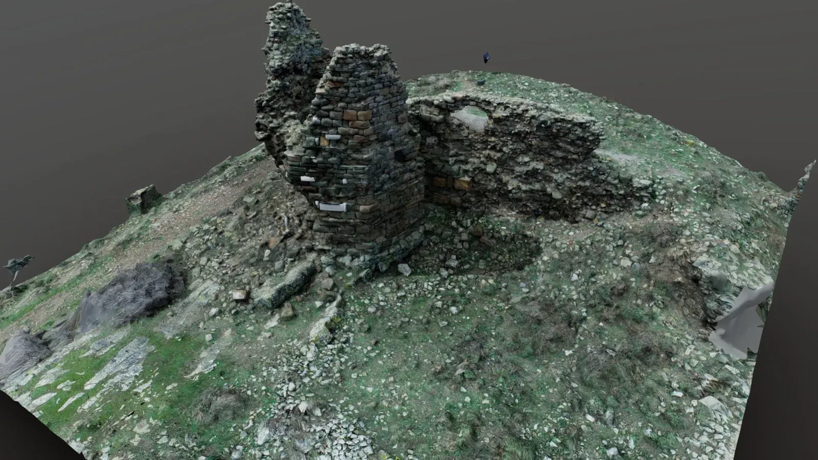
Gökçeada, Çanakkale
High-resolution 3D model of İskiter Castle on Gökçeada.
Tell us where the site is and what you need, and we'll agree the method and timeline together. Quotes are usually ready within 2–3 working days.