
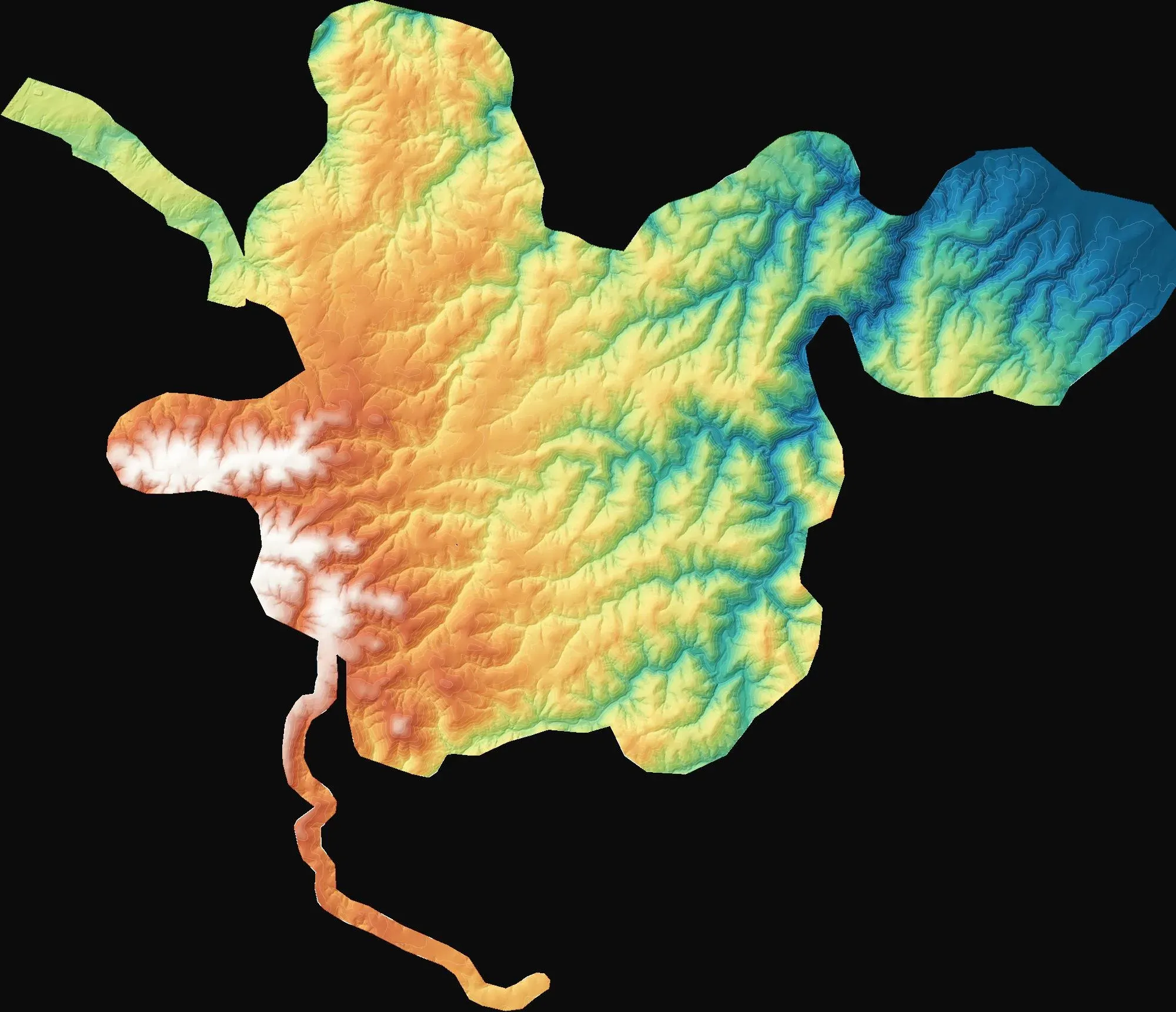
Topographic mapping for three wind farm sites
Demirköy, Kırklareli
To provide 1:1000 and 1:5000 topographic base maps for wind farm design and the Turkish 7/A approval process.
Georeferenced base maps with contours for design, zoning and solar projects.
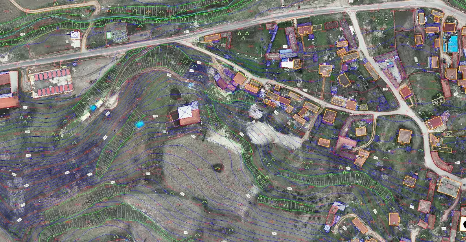
A topographic base map shows the current state of a site (buildings, roads, walls, poles, trees and the shape of the ground) to scale and in real coordinates. Architectural and engineering designs, zoning work and solar plant layouts all start from this drawing.
On large open areas we map with drone photogrammetry; where detail is dense or the ground is hidden under trees we complete the survey with GNSS and airborne LiDAR. Drawings are produced in NetCAD and AutoCAD at the required scale (1:500, 1:1000, 1:5000) and in the TUREF TM coordinate system or your project grid.
Demirköy, Kırklareli
To provide 1:1000 and 1:5000 topographic base maps for wind farm design and the Turkish 7/A approval process.
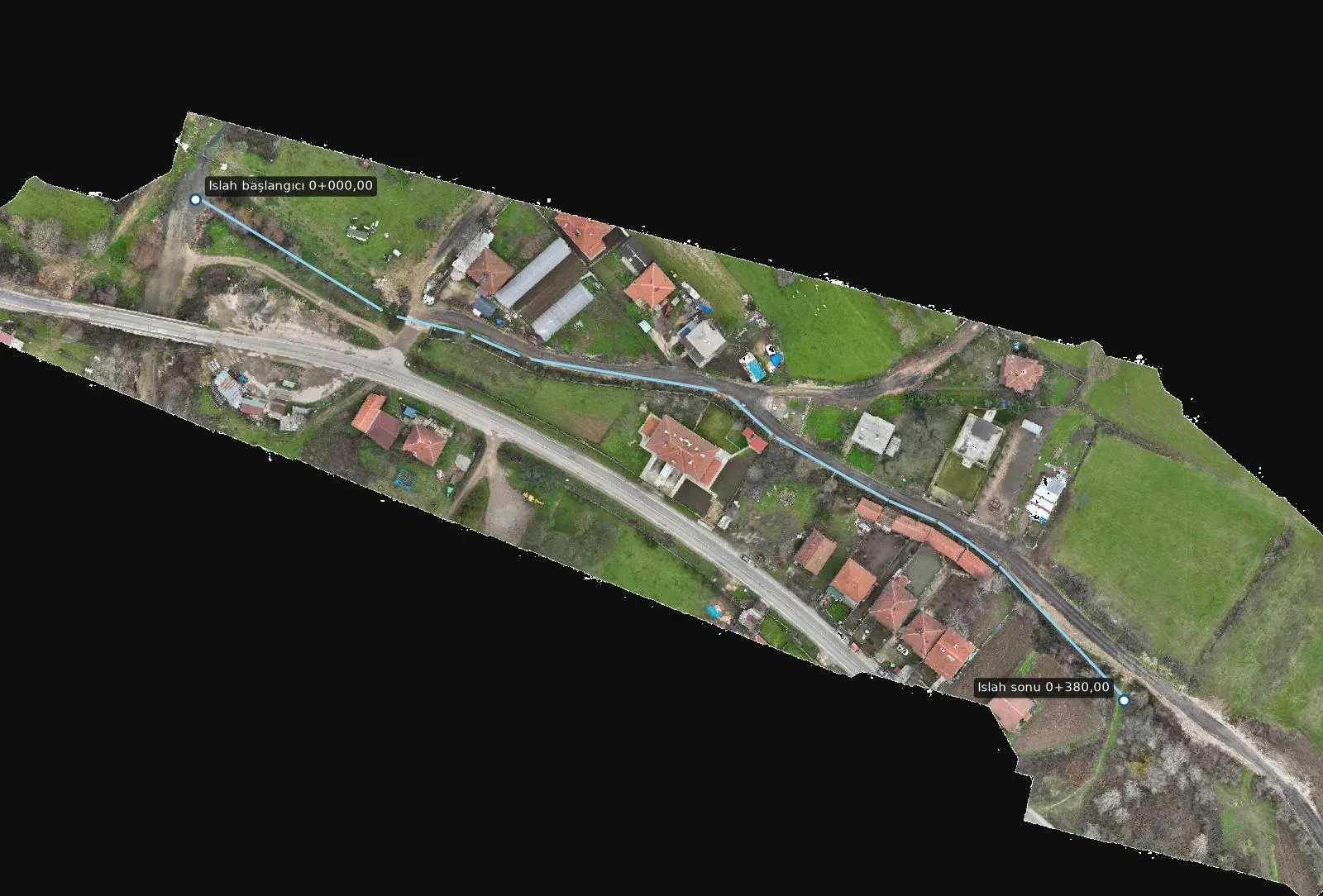
Vize, Kırklareli
To prepare the alignment, longitudinal profiles and cross-sections for improving two stream branches.
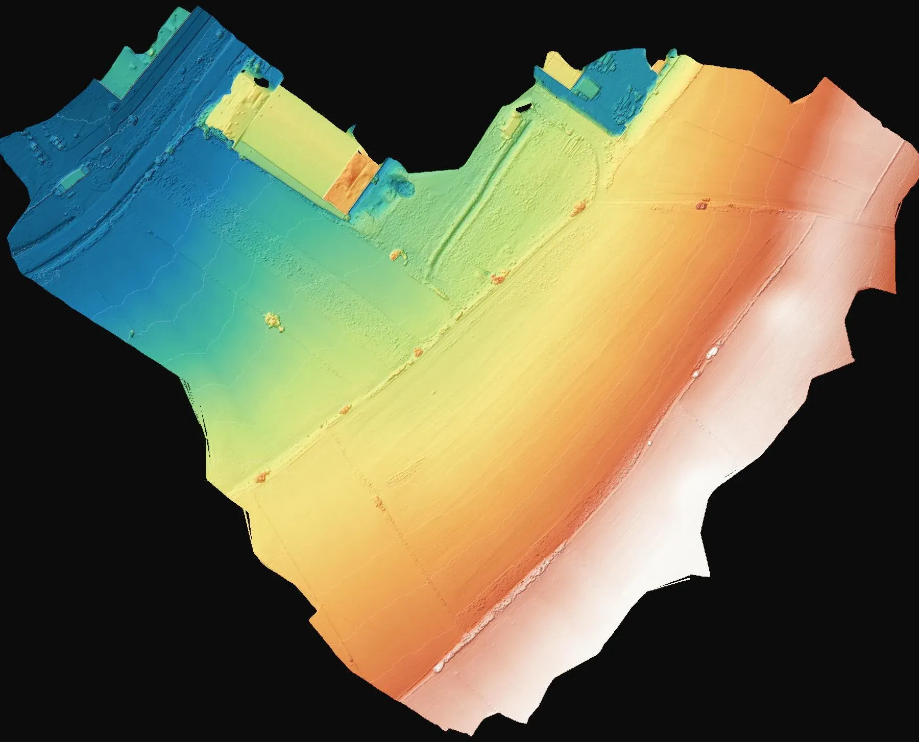
Tekirdağ
To produce a spot-height plan for the design of the plot.
Tell us where the site is and what you need, and we'll agree the method and timeline together. Quotes are usually ready within 2–3 working days.