
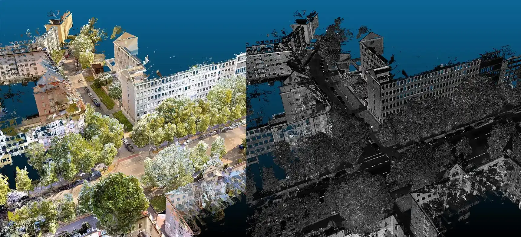
01
3D Laser Scanning
Dense point clouds of buildings, plants and terrain from handheld SLAM and airborne LiDAR, turned into drawings and BIM.
Every service follows the same rule: measured control, reported accuracy and delivery in a format you can actually use.
01
Dense point clouds of buildings, plants and terrain from handheld SLAM and airborne LiDAR, turned into drawings and BIM.
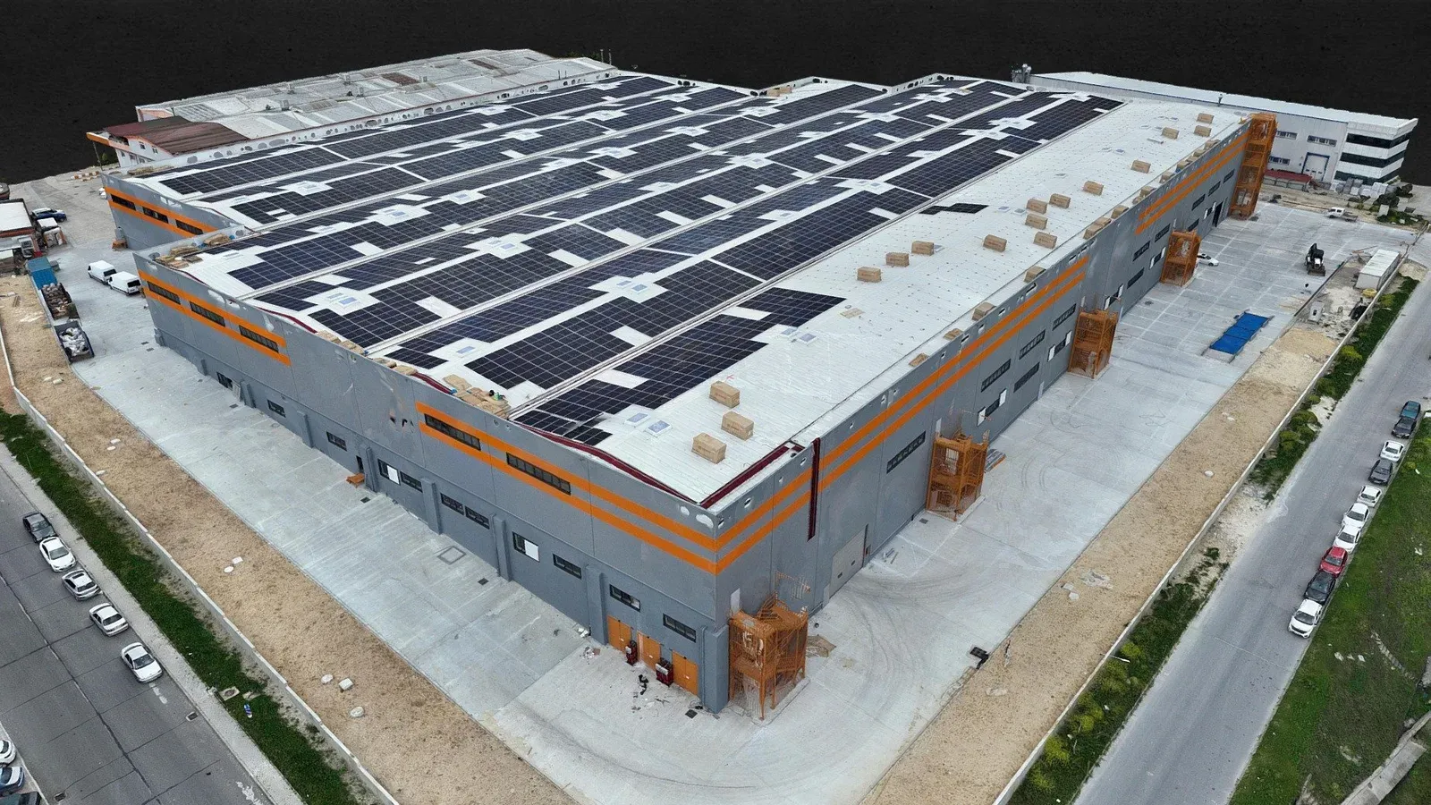
02
RTK drone flights producing orthophotos, surface models and photorealistic 3D models.
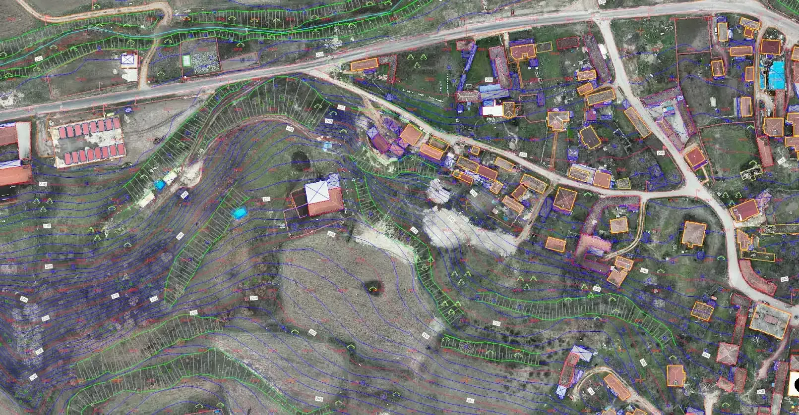
03
Georeferenced base maps with contours for design, zoning and solar projects.
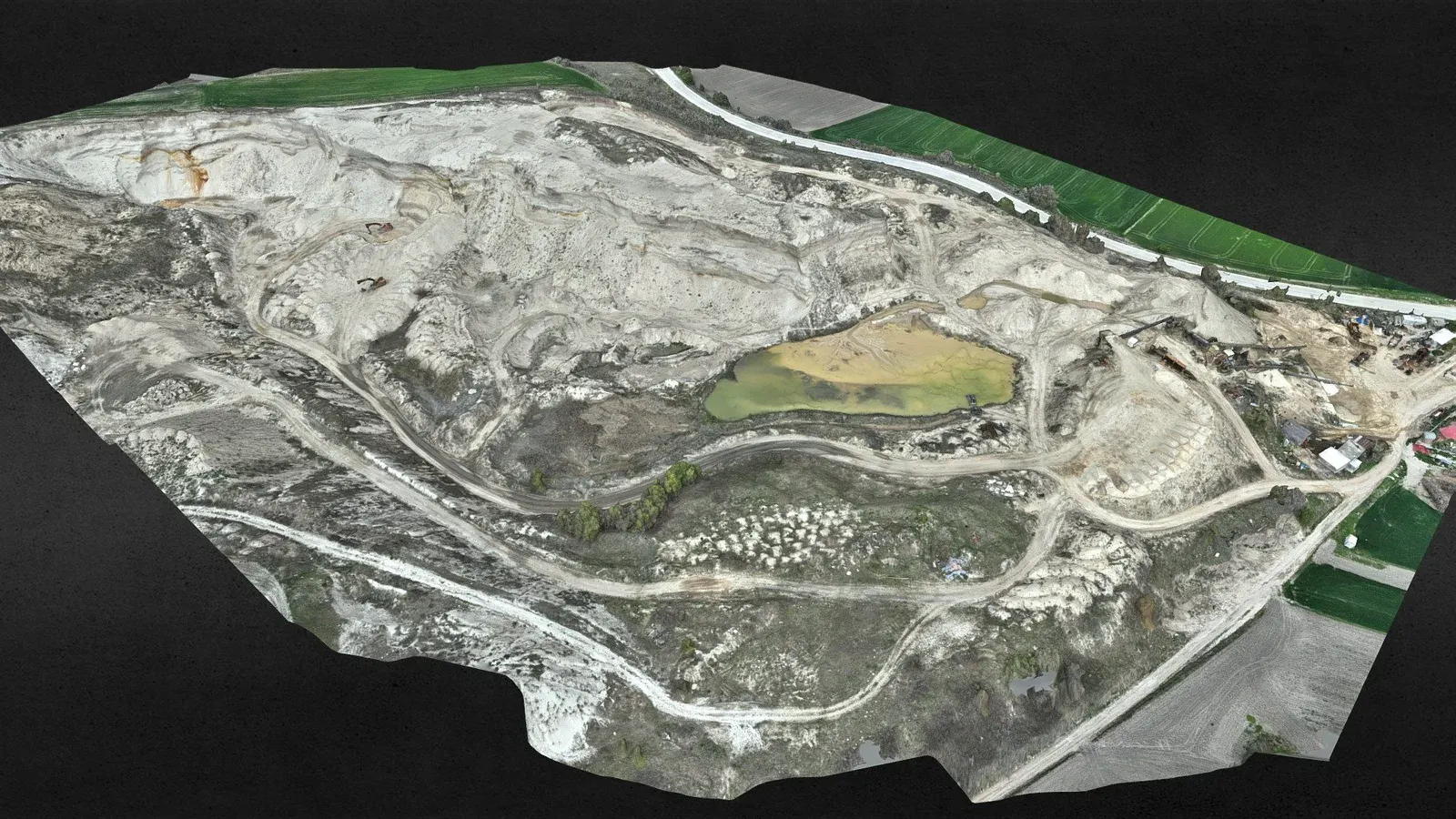
04
Topographic surveys to MAPEG requirements, periodic cut-and-fill and stockpile volumes.
05
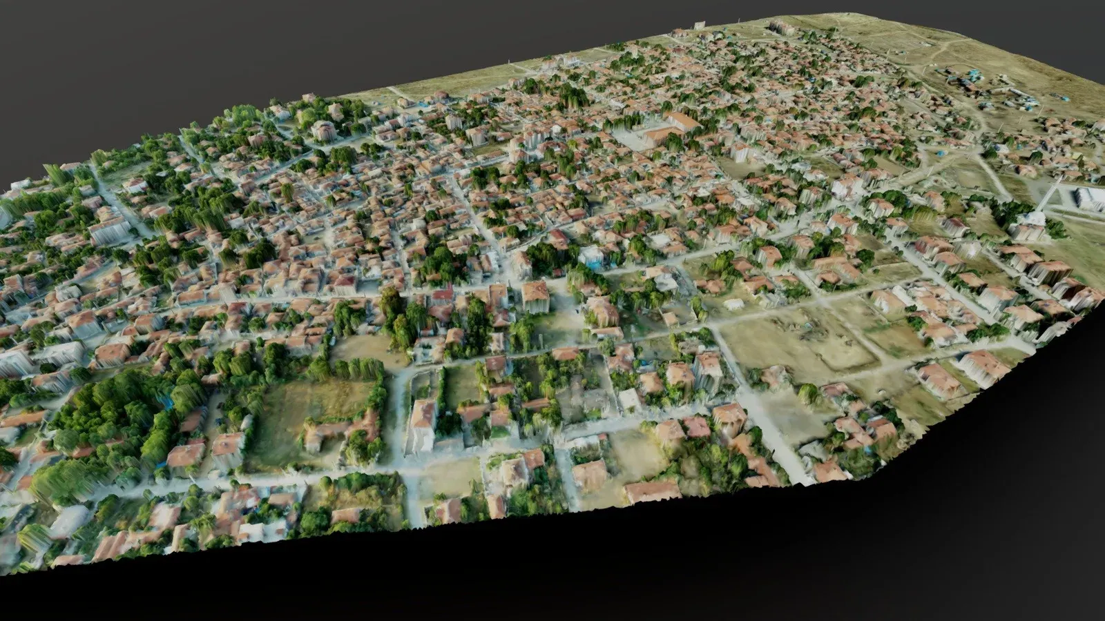
City-scale 3D models, orthophotos and GIS layers for municipalities and public bodies.
06
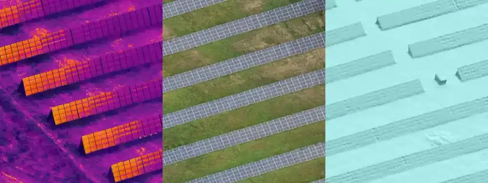
Hotspot detection on solar plants and industrial sites, with a georeferenced thermal map and report.
We deliver data in formats you can open in your own software.
Tell us where the site is and what you need, and we'll agree the method and timeline together. Quotes are usually ready within 2–3 working days.