
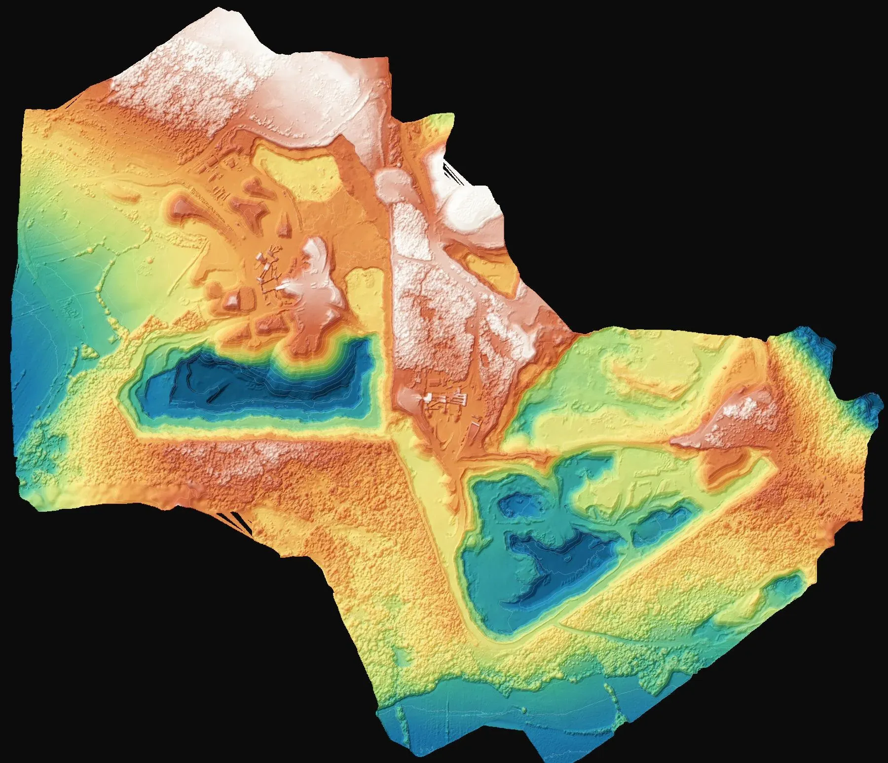
Volume survey at a quarry
Saray, Tekirdağ
To determine the volume of fill placed in three areas of the quarry site.
Topographic surveys to MAPEG requirements, periodic cut-and-fill and stockpile volumes.
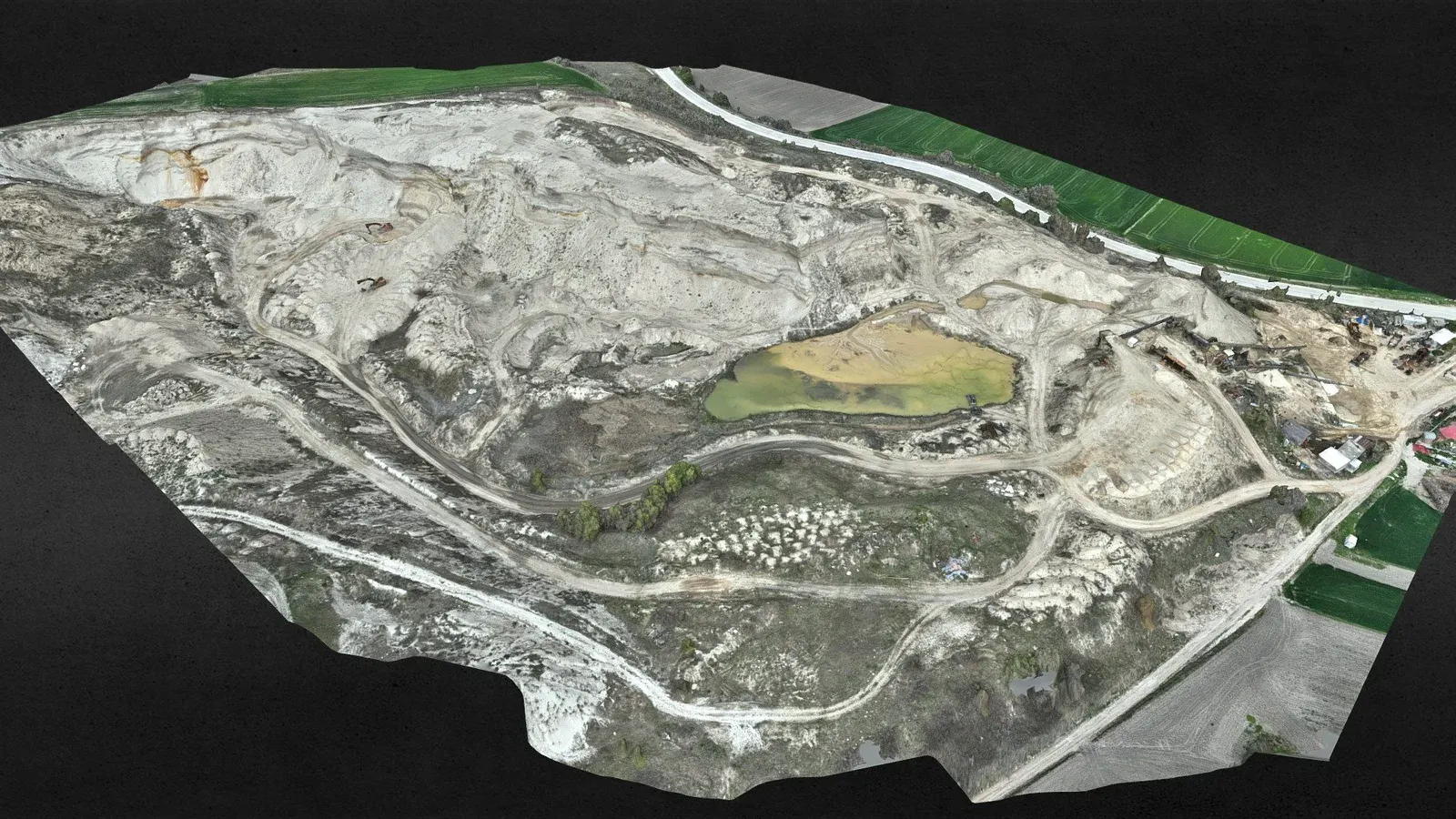
In mines and quarries, surveying is both a legal duty and part of running the operation. Production inside the licence area, new benches and stockpiles all need to be documented. A drone survey captures the whole pit in a few hours, from a safe distance and without anyone walking the benches.
By comparing surface models from two dates we calculate cut and fill volumes and report each stockpile separately. Maps and reports are prepared in the format required by MAPEG, the Turkish mining authority, and aligned with the licence coordinates.
Saray, Tekirdağ
To determine the volume of fill placed in three areas of the quarry site.
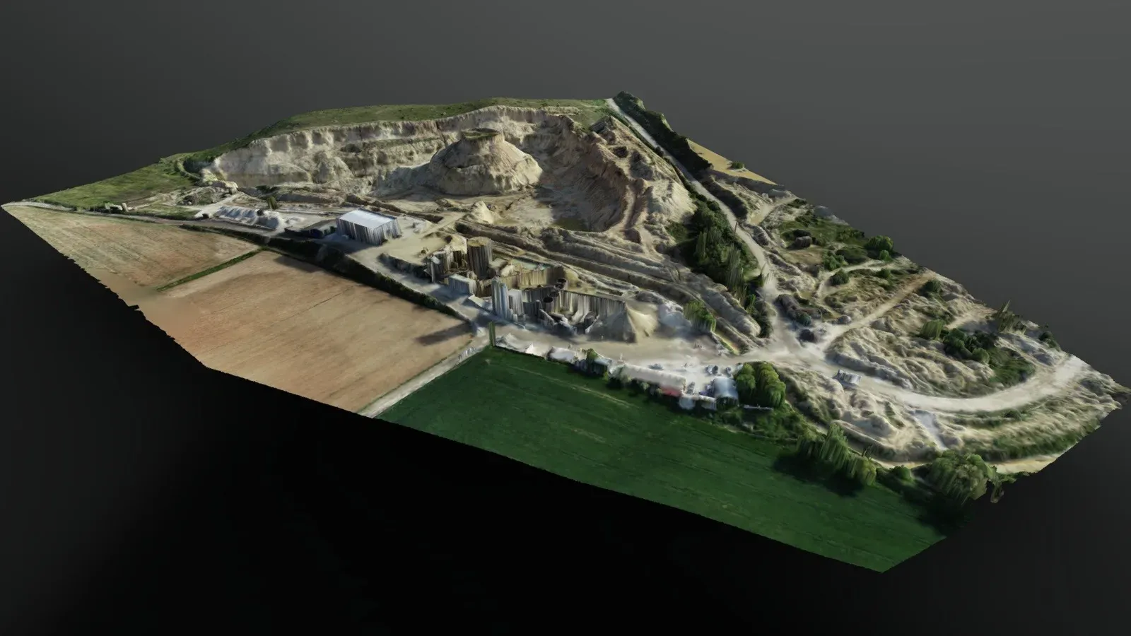
Çorlu, Tekirdağ
Survey of the Sağlamtaş mine site in Çorlu, Tekirdağ, to MAPEG standards.
Kapaklı, Tekirdağ
A quarry we survey and monitor at regular intervals.
Tell us where the site is and what you need, and we'll agree the method and timeline together. Quotes are usually ready within 2–3 working days.