
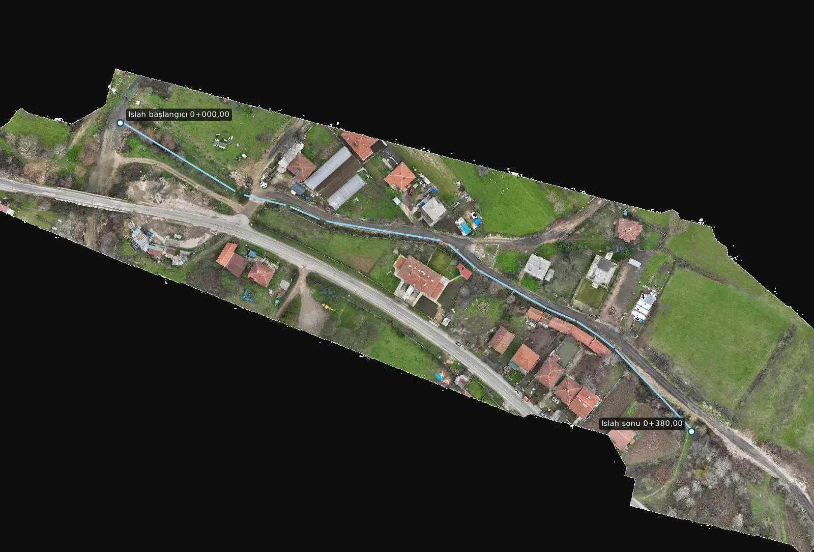
Stream improvement survey through a village
How a 1.9 cm orthophoto, longitudinal profiles and cross-sections every 10 metres gave the base for improving two stream branches through a settlement.
Methods, field notes and new projects.
How a 1.9 cm orthophoto, longitudinal profiles and cross-sections every 10 metres gave the base for improving two stream branches through a settlement.
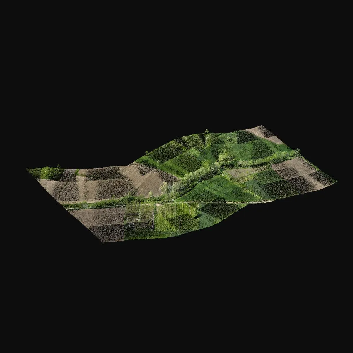
How a terrain model, contours and a sheet-based topographic base map were produced with drone LiDAR along a densely vegetated stream corridor.
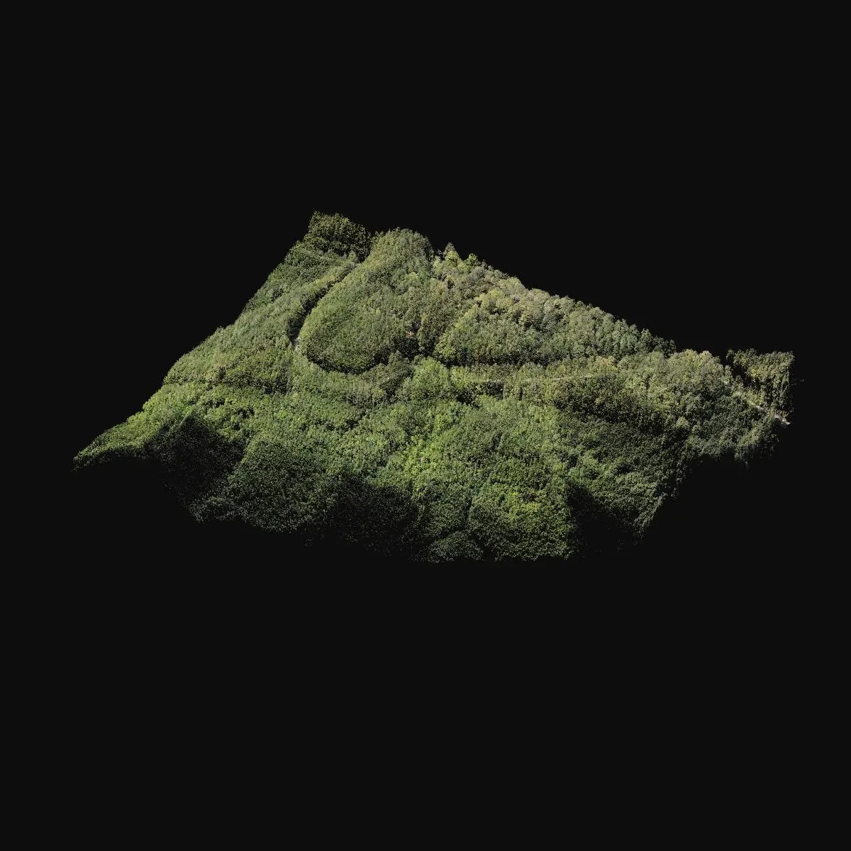
Scanning a forested area missing from the existing map with the Zenmuse L2 LiDAR for a road project, and producing a terrain model and true orthophoto.
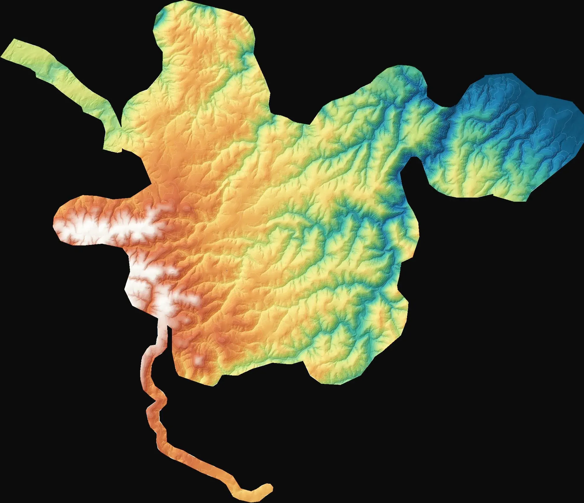
How we produced a topographic base map of about 7,980 hectares for three wind farm sites in Kırklareli with a GNSS network, hybrid capture and stereo restitution.
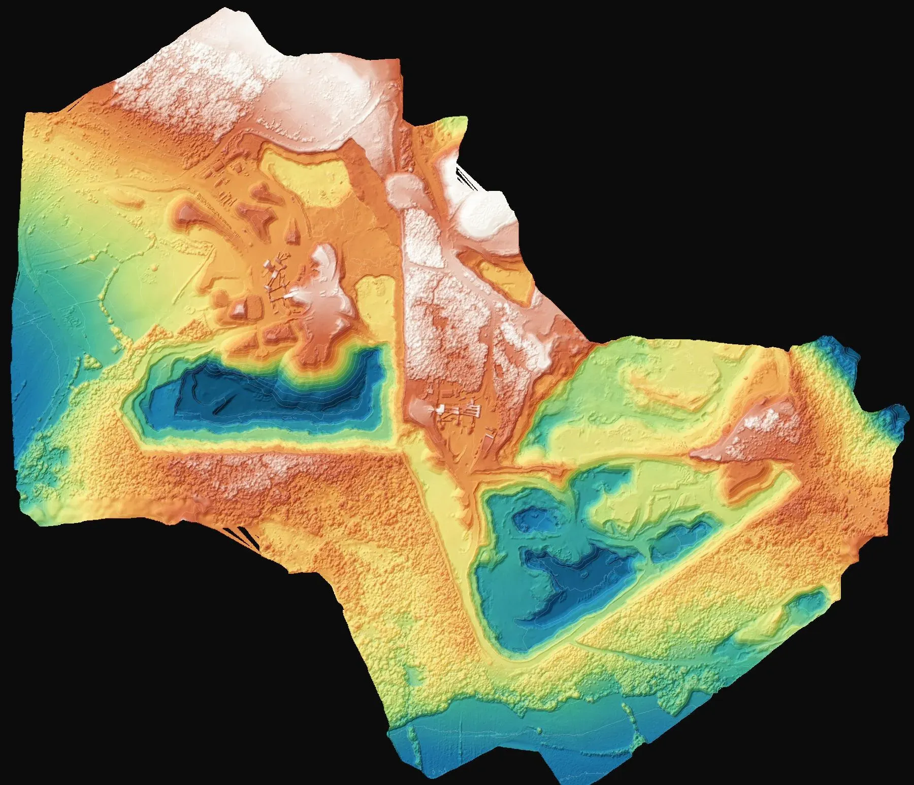
How a surface model, zone-by-zone calculation and volume report are produced with drone photogrammetry at quarries and mining sites.
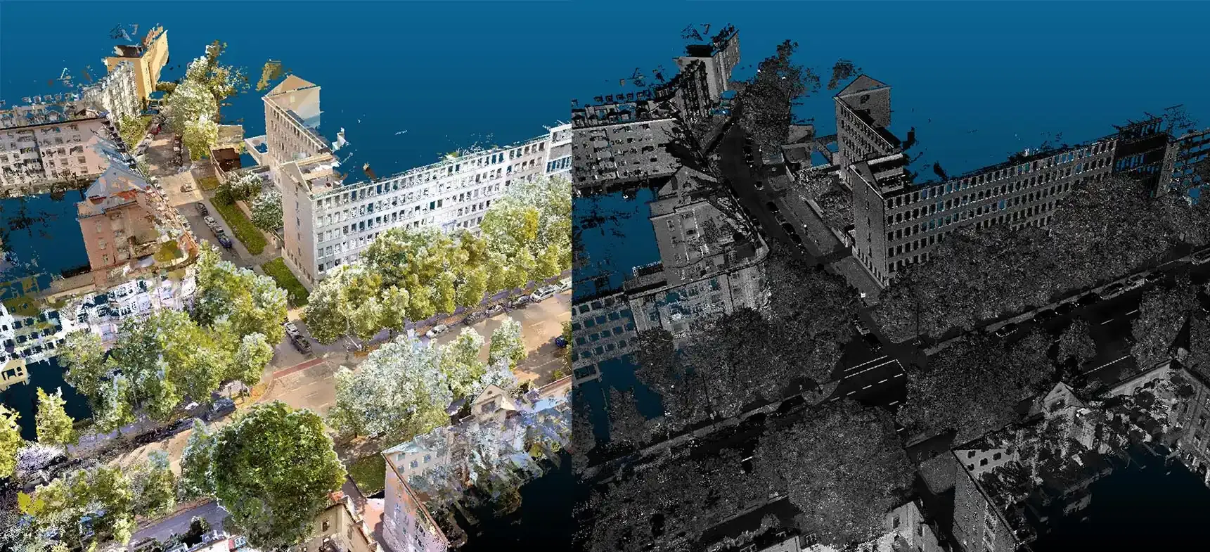
How drone photogrammetry and terrestrial laser scanning differ in accuracy, speed and cost, and which one to choose for which kind of project.
Tell us where the site is and what you need, and we'll agree the method and timeline together. Quotes are usually ready within 2–3 working days.