
Quarry volume surveys: calculating volumes by drone
How a surface model, zone-by-zone calculation and volume report are produced with drone photogrammetry at quarries and mining sites.
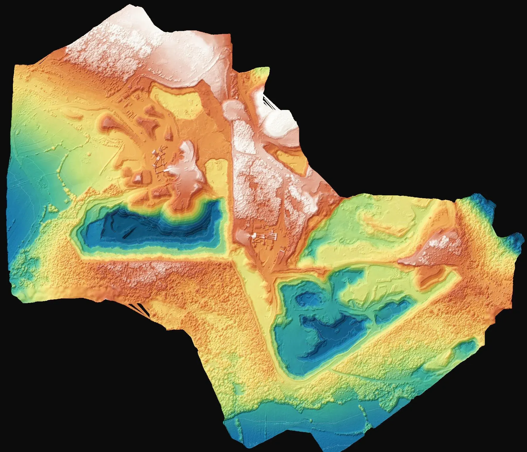
Knowing how much material has been extracted from a quarry, or how much fill has been placed on a site, is a fundamental question for operations as well as for licensing and inspection. Conventionally, this calculation relies on a limited number of points; drone photogrammetry, by contrast, measures the entire site as a surface at centimetre level.
From site to surface model
At a quarry in Saray, we flew the site by drone to produce a high-resolution orthophoto and digital surface model. The model shows every pit on the quarry floor, every bench and every fill stockpile individually.
Dividing the site into zones
The calculation is not done in one piece. The site was divided into three zones, A, B and C, and for each zone the existing topography was modelled separately with contours, spot heights and the fill surface. This means the change in each zone can be reported without the figures getting mixed up.
Report and deliverables
The deliverables included a volume report with the calculation for each zone and the contour and spot-height sheets, along with drawing files in DXF and NetCAD formats. If the same site is flown again at regular intervals, comparing the two surfaces also gives the change in volume over each period.
You can find images from the project on the project page. Contact us for MAPEG-compliant surveys and volume calculations at mining and quarry sites.