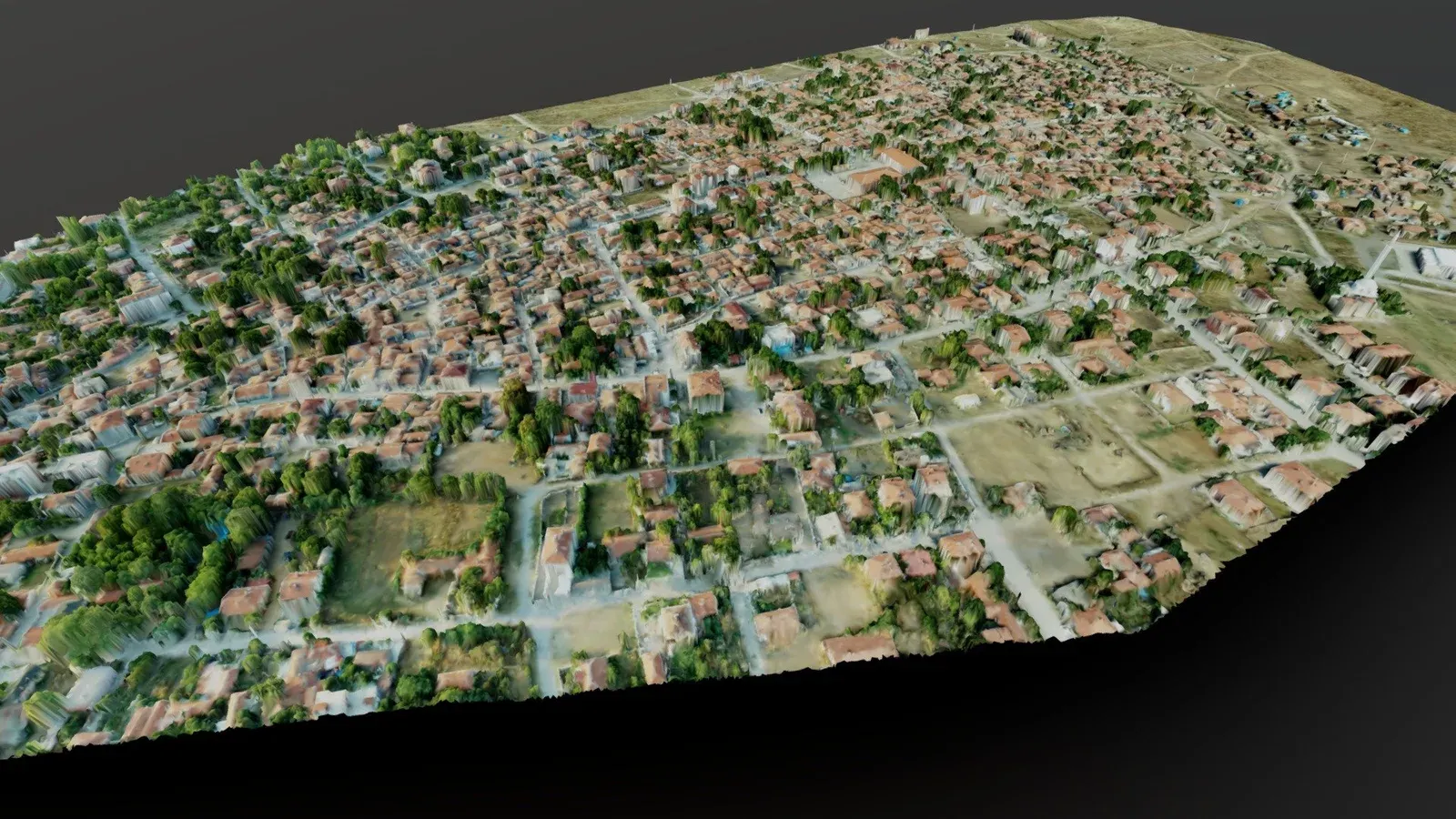
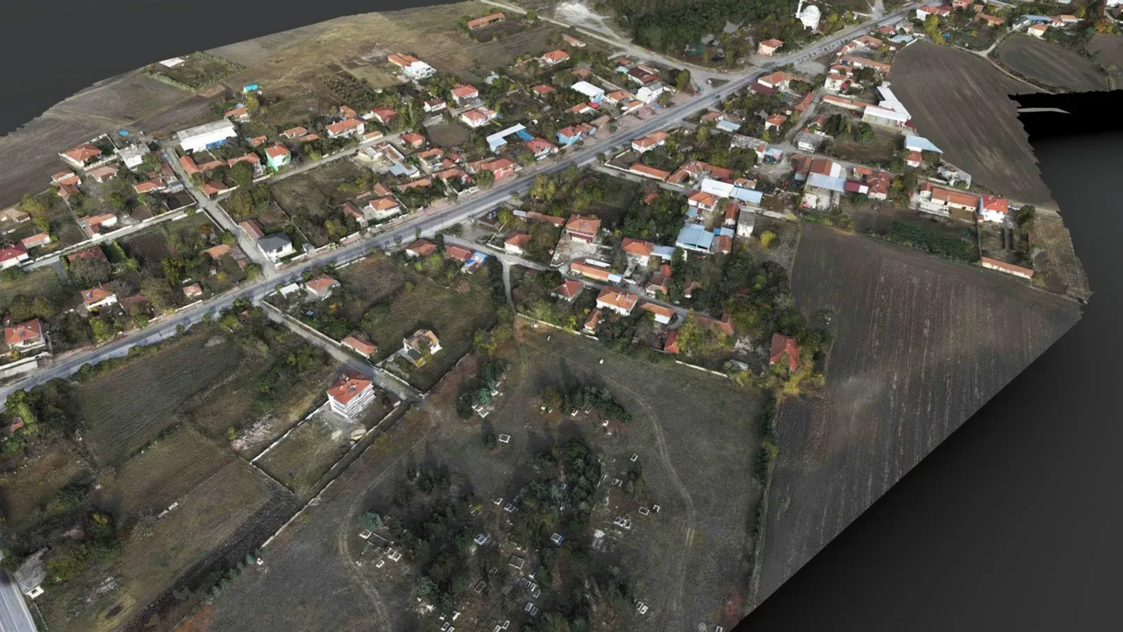
An up-to-date 3D model of a district lets planning, public works and property departments look at the same data. Building heights, added storeys, unauthorised construction and road widths can be measured from the office, and decisions made without a site visit.
For city-scale work we plan flights neighbourhood by neighbourhood and combine nadir and oblique imagery into a textured 3D model. The model is delivered in the same coordinate system as the GIS layers (buildings, roads, addresses) and can be used in your own GIS software, or opened in a browser through the MapSurvey 3D Portal with per-user access control.
How we work
- Scope. Project boundary, resolution and required GIS layers are defined.
- Flights. Airspace permissions are obtained and the area is flown in blocks.
- Modelling. Orthophoto, elevation model and textured 3D model are produced.
- Digitising. Building, road and address layers are drawn and attributed.
- Delivery and training. Data is delivered, portal accounts are set up and users receive a short training session.
Typical uses
- Zoning and building control
- Property tax and unauthorised construction checks
- Infrastructure and road planning
- Disaster and emergency preparedness
- Tourism and cultural heritage promotion