
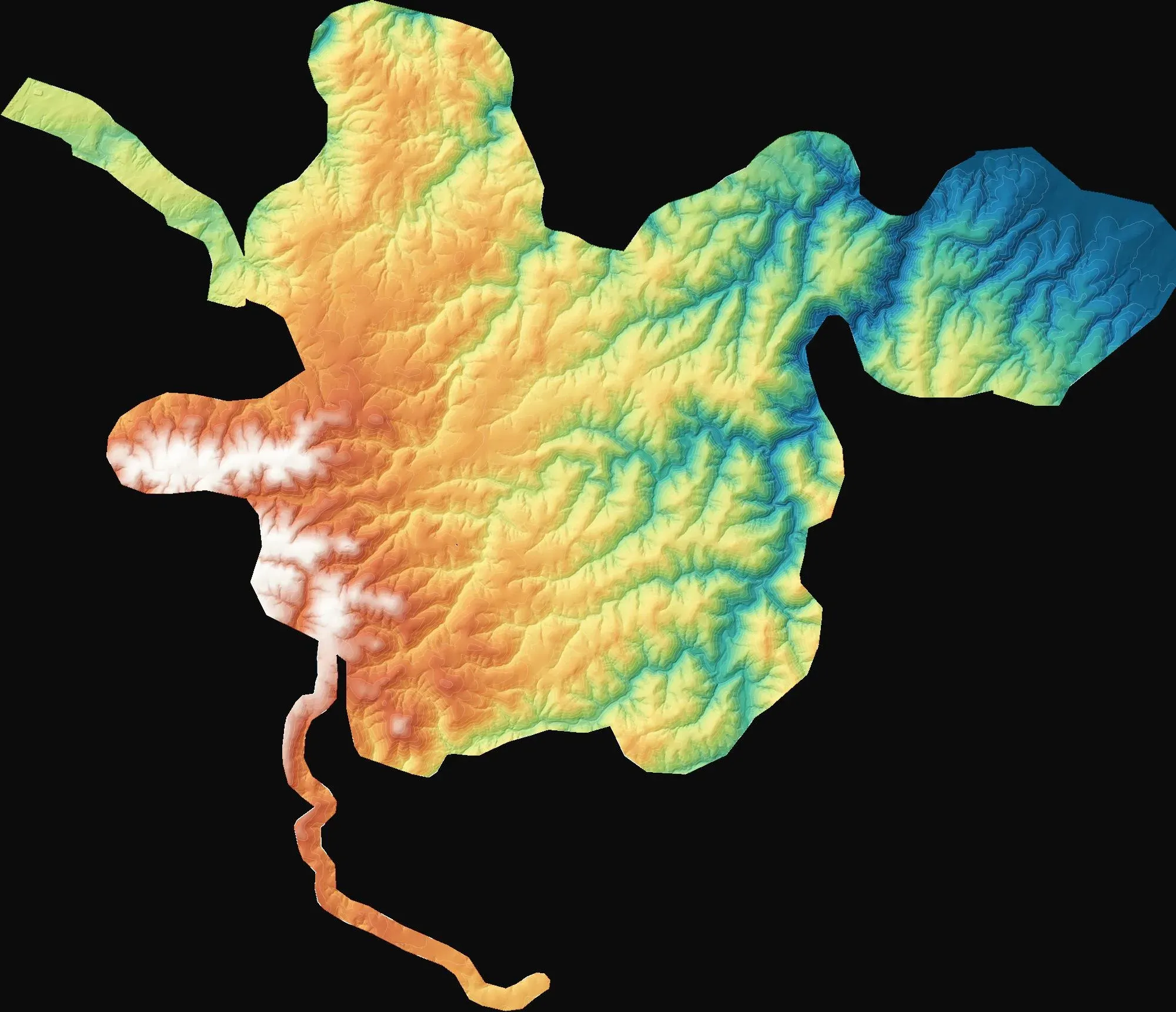
Topographic mapping for three wind farm sites
Demirköy, Kırklareli
To provide 1:1000 and 1:5000 topographic base maps for wind farm design and the Turkish 7/A approval process.
RTK drone flights producing orthophotos, surface models and photorealistic 3D models.
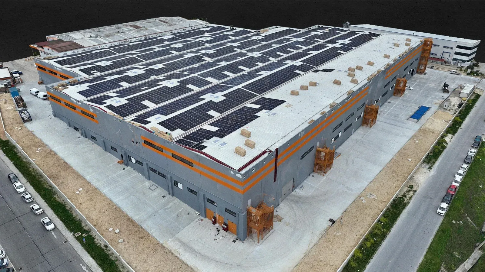
Drone photogrammetry is the most economical way to capture an up-to-date image and surface of a large area. Hundreds of overlapping photos taken along a planned route are processed into an orthophoto, an elevation model and a textured 3D model. Fieldwork on a site of several dozen hectares is usually done in a single day.
We fly the DJI Matrice 350 RTK with the Zenmuse P1 photogrammetry camera, and with the Zenmuse L2 LiDAR sensor where vegetation covers the ground. RTK-corrected imagery is checked against ground control points surveyed on site with GNSS receivers. Results are delivered in the Turkish TM zones (EPSG 5253–5259) or in whatever coordinate system your project uses, together with an accuracy report.
Demirköy, Kırklareli
To provide 1:1000 and 1:5000 topographic base maps for wind farm design and the Turkish 7/A approval process.
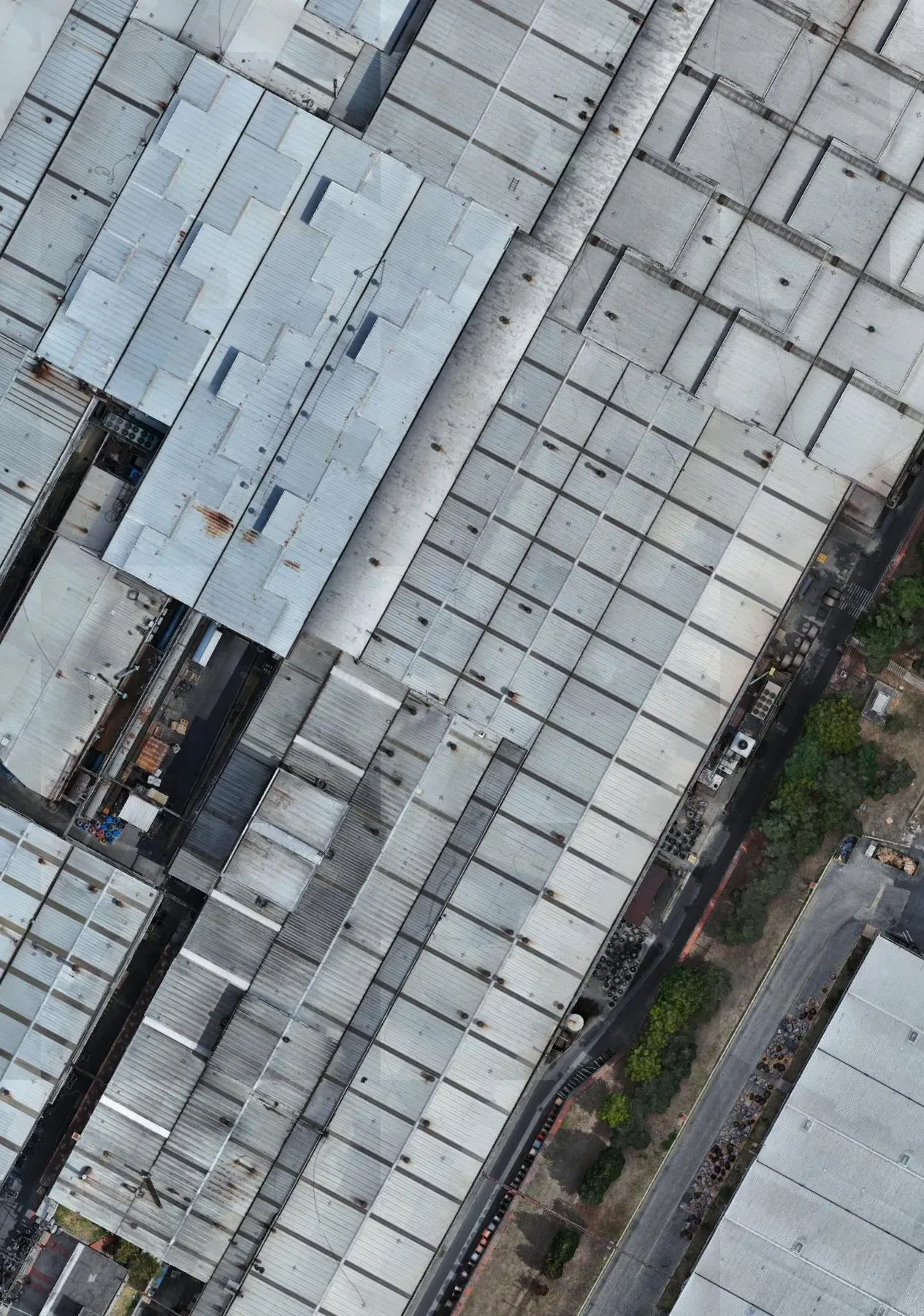
Çerkezköy, Tekirdağ
To calculate the covered and open areas within the facility.
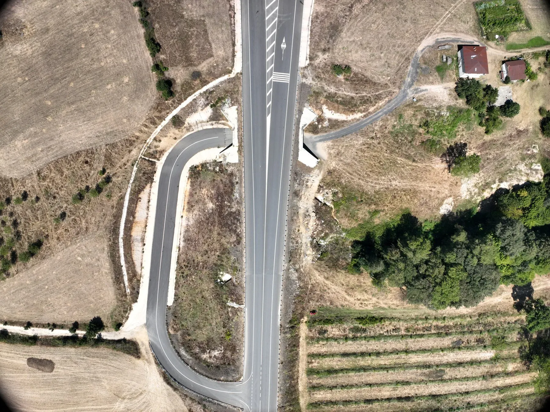
Kırklareli
To document the existing condition of the access roads to the wind farm site.
Tell us where the site is and what you need, and we'll agree the method and timeline together. Quotes are usually ready within 2–3 working days.