
Topographic mapping for three wind farm sites
- Category
- Energy
- Location
- Demirköy, Kırklareli
- Year
- 2026
- Purpose
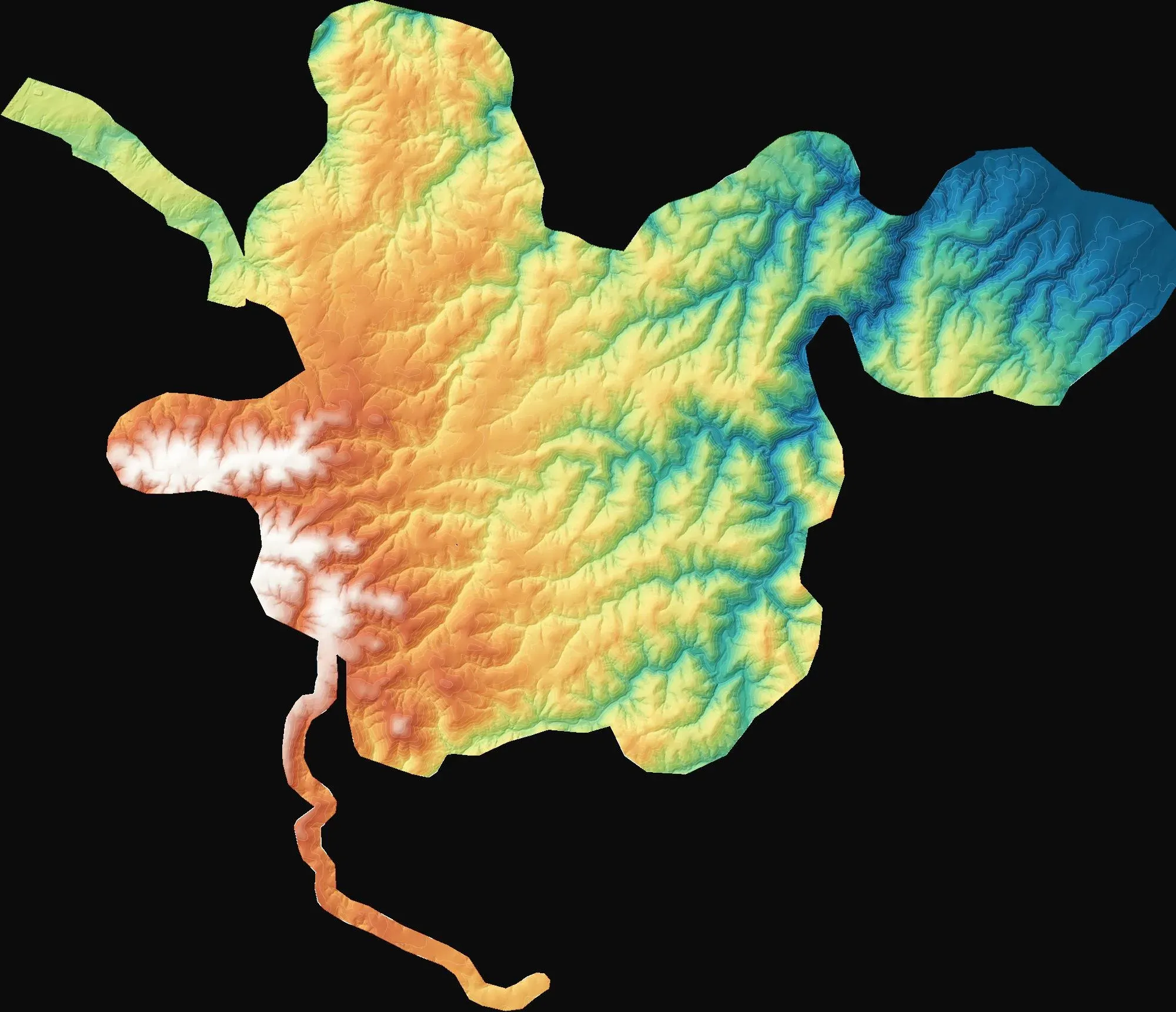
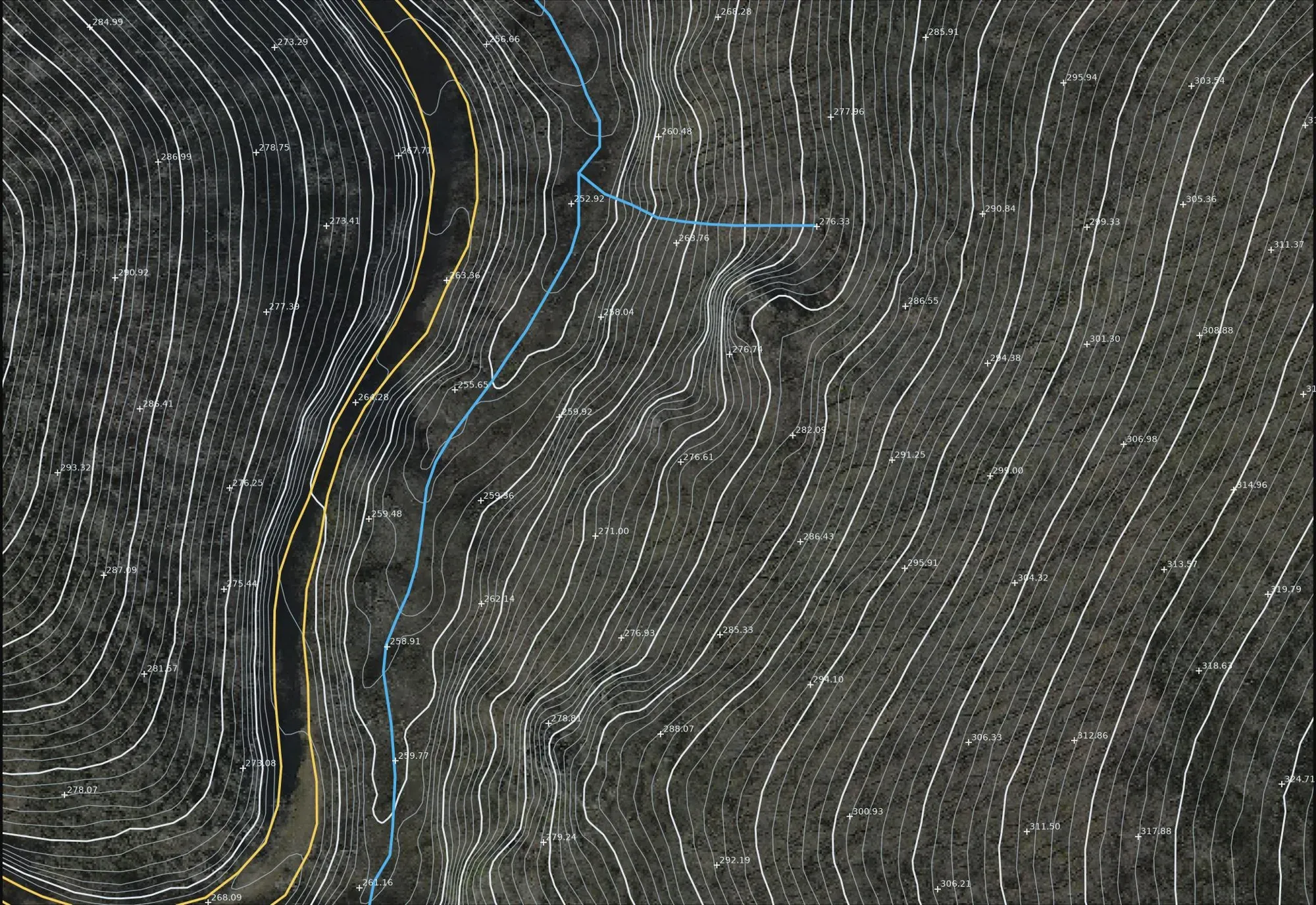
- To provide 1:1000 and 1:5000 topographic base maps for wind farm design and the Turkish 7/A approval process.
- How it was done
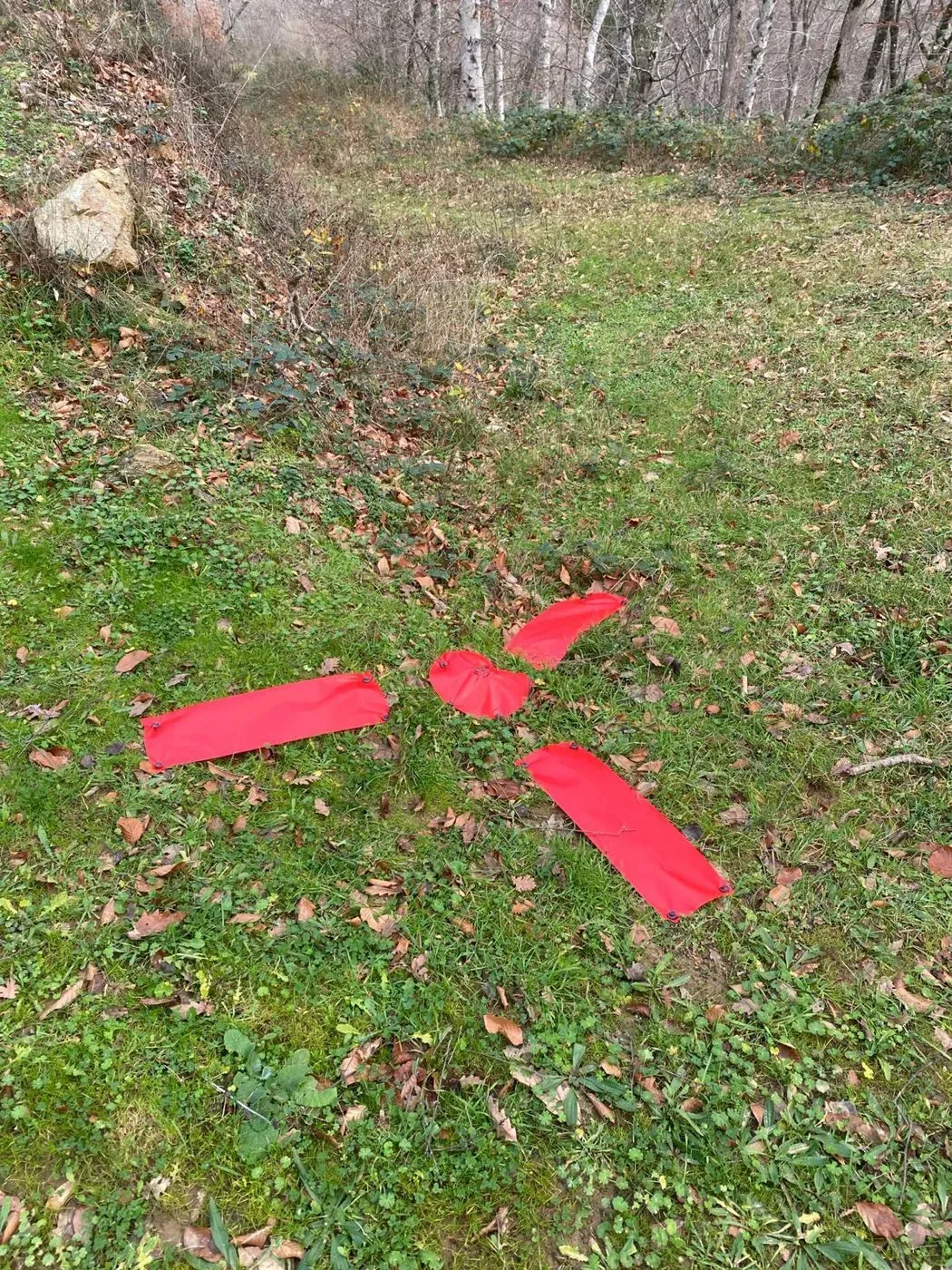
- A C3-grade GNSS network and ground control points with fabric targets were established; hybrid photogrammetry and LiDAR flights were flown with the Zenmuse P1 and L2, and the maps were compiled by stereo restitution.
- Deliverables
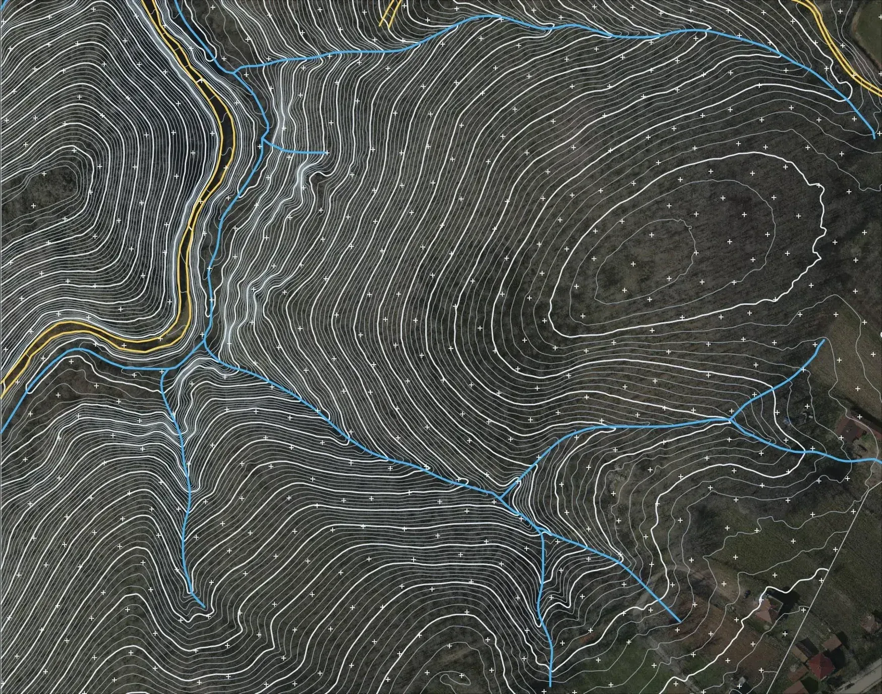
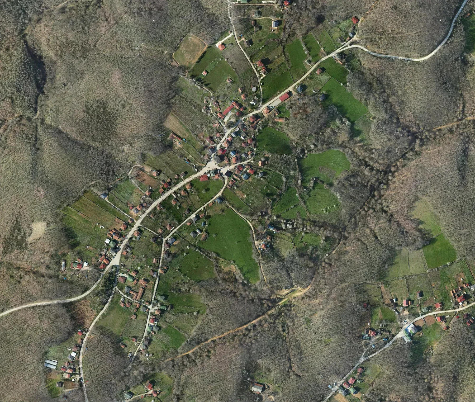
- For about 7,980 hectares: an orthophoto at 5 cm GSD, a digital elevation model, contour lines and 1:1000–1:5000 map sheets.
Let's talk about your project.
Tell us where the site is and what you need, and we'll agree the method and timeline together. Quotes are usually ready within 2–3 working days.