
LiDAR in forested terrain: the ground beneath the trees
Scanning a forested area missing from the existing map with the Zenmuse L2 LiDAR for a road project, and producing a terrain model and true orthophoto.
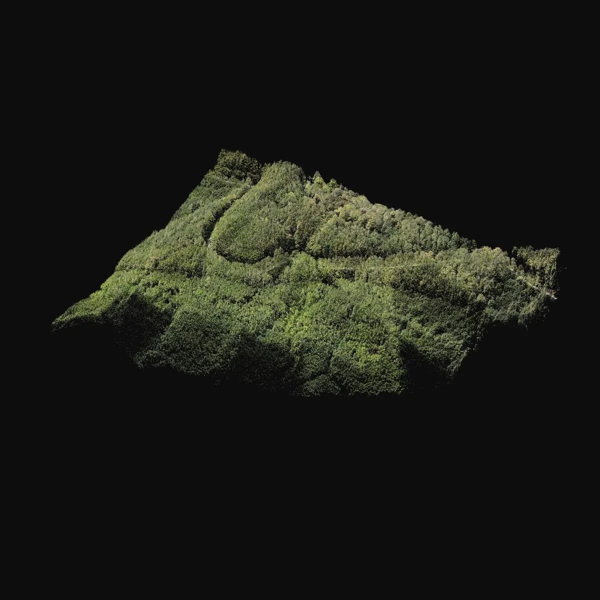
In road, power line and power plant projects, forested areas are the most difficult sites. Photogrammetry measures the treetops, but the design needs the ground. That is why, in the Istranca foothills of Kırklareli, we used LiDAR to complete an area of about 120 hectares of forest that was missing from the existing map for a road project.
287 million points
The DJI Zenmuse L2 scan collected 287 million points. The average density was 178 points per square metre, of which about 23 were returns that reached the ground through the trees. The PPK solution was fixed throughout.
Terrain model and orthophoto
The ground points were separated out to produce a terrain model at 0.5 m resolution, and a 4.2 cm true orthophoto was obtained from the camera on the same scan. The results were delivered as DXF drawings and contours that can be added to the existing map.
You can find images from the project on the project page. If you need a topographic base map for forested or densely vegetated sites, let’s look at the LiDAR option together.