
Filling a mapping gap in forest for a road project
- Category
- LiDAR
- Location
- Kırklareli
- Year
- 2026
- Purpose
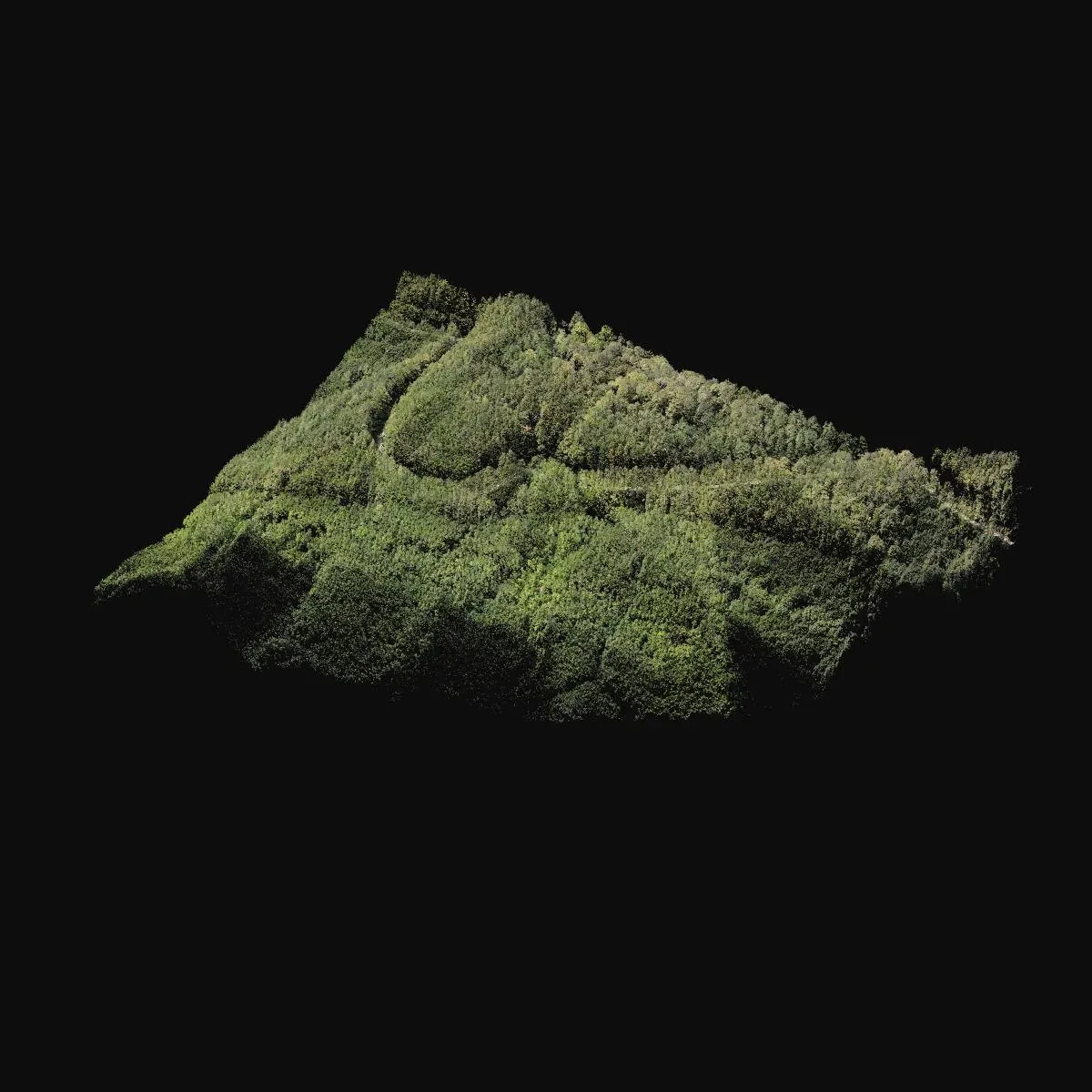
- To complete a forested area missing from the existing map for a road project.
- How it was done
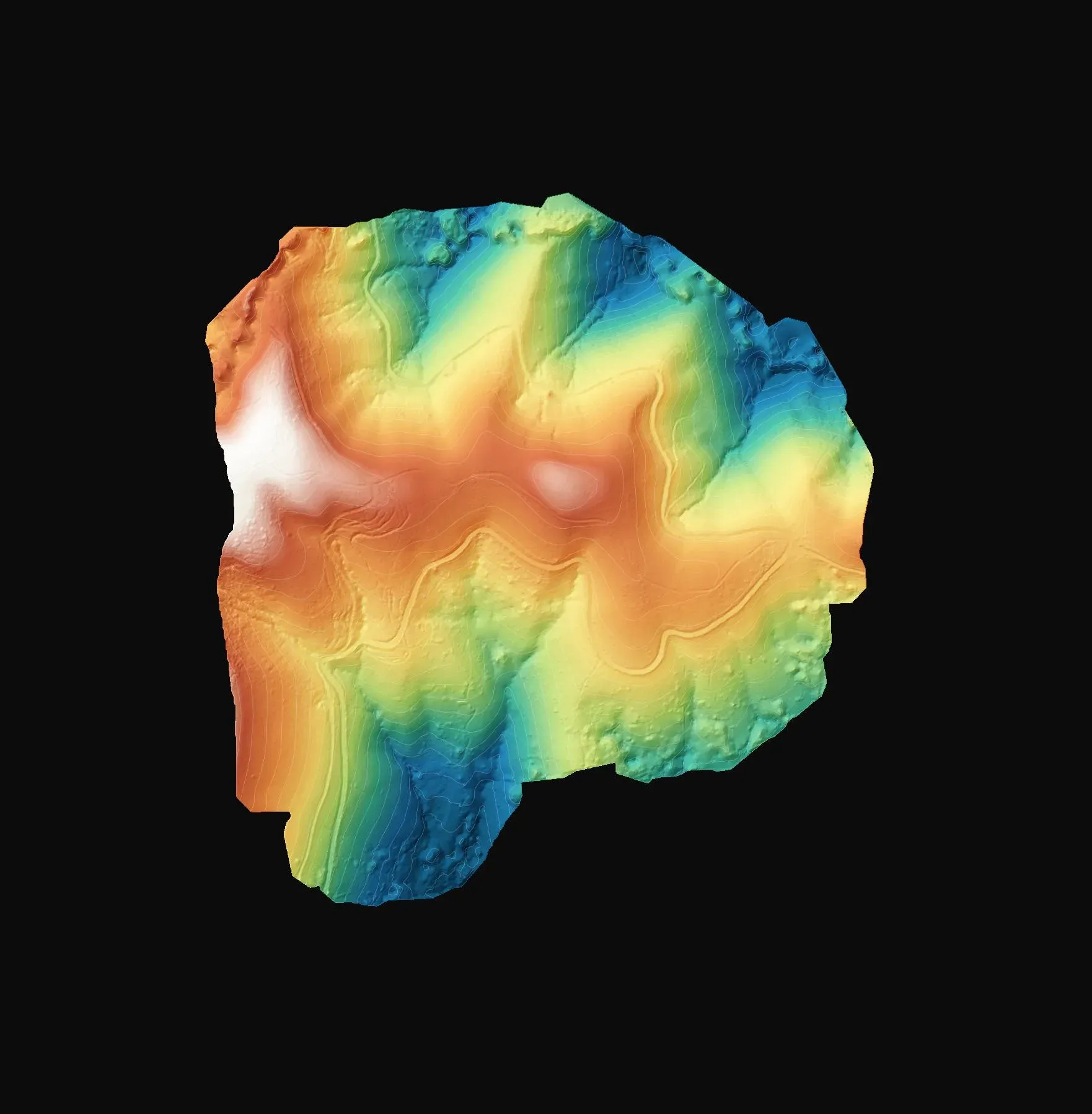
- The area was scanned with the Zenmuse L2 LiDAR and the returns reaching the ground through the trees were separated.
- Deliverables
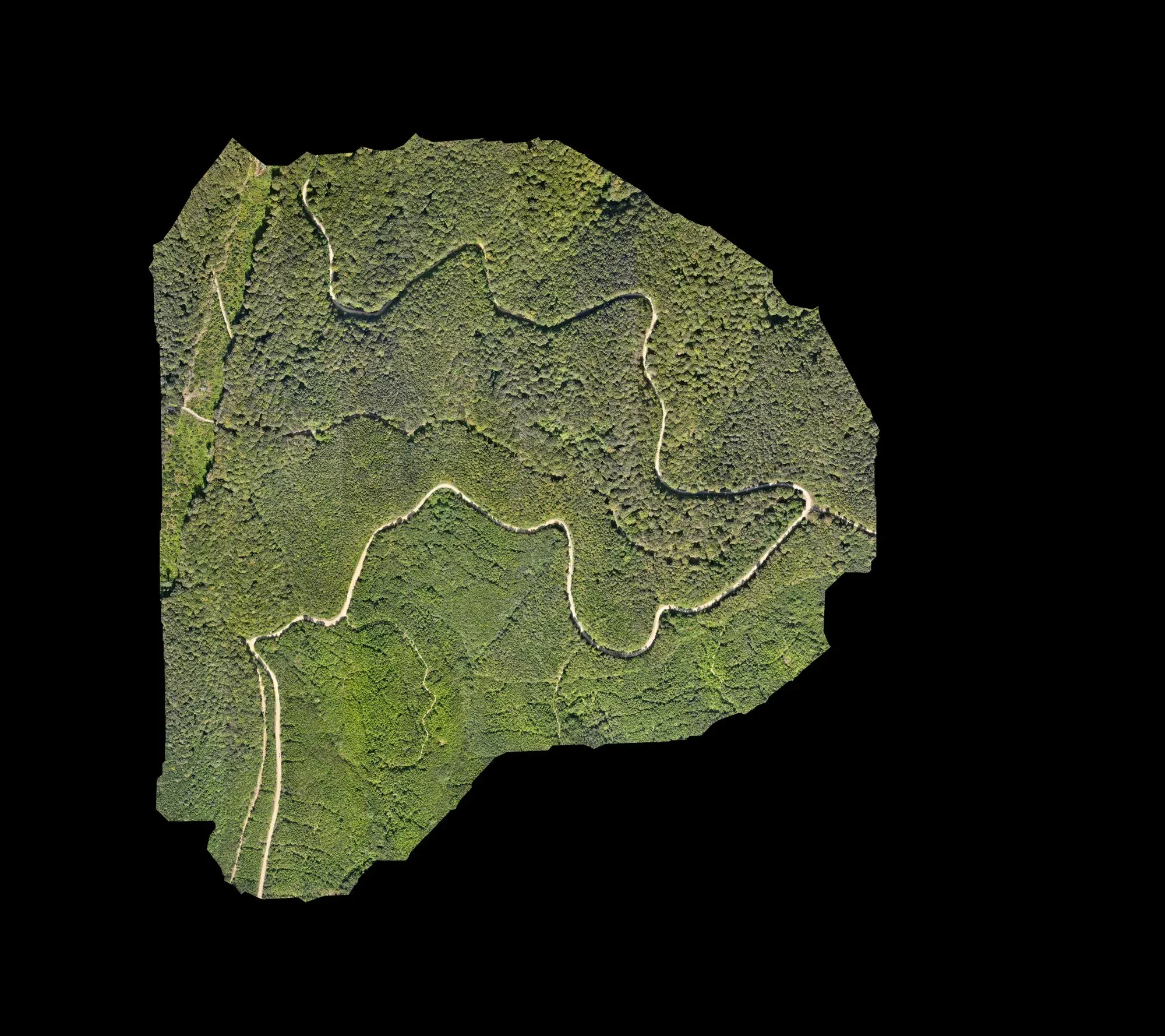
- For about 120 hectares: a terrain model, a true orthophoto and a DXF drawing.
Let's talk about your project.
Tell us where the site is and what you need, and we'll agree the method and timeline together. Quotes are usually ready within 2–3 working days.