
Drone mapping or laser scanning? Choosing the right method
How drone photogrammetry and terrestrial laser scanning differ in accuracy, speed and cost, and which one to choose for which kind of project.
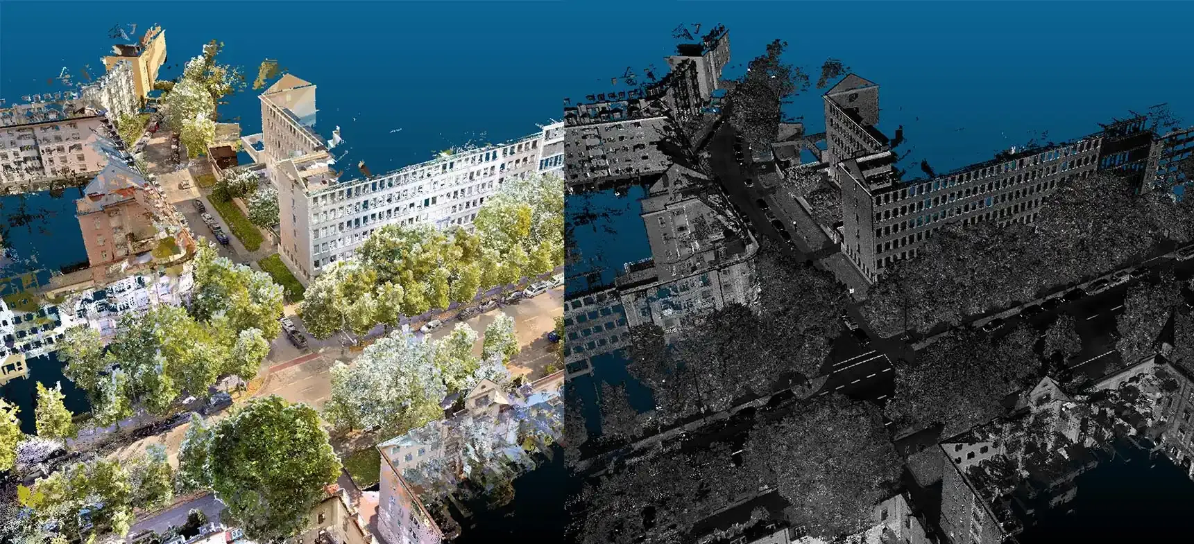
One of the questions we hear most often at the quoting stage is: “Should we survey the site with a drone or with a laser scanner?” The short answer is that they are made for different jobs, and on larger projects they are usually used together. The longer answer follows.
How the two methods work
Drone photogrammetry reconstructs a surface from overlapping aerial photographs. Photos that see the same point from different angles are matched, and the 3D position of each point is computed. The results are an orthophoto, an elevation model and a textured 3D model.
Terrestrial laser scanning measures the surface directly. The scanner calculates the distance to each point from the travel time of its laser pulse and records its surroundings as a dense point cloud. Photographs are used only to colour the points.
Side by side
| Drone photogrammetry | Terrestrial laser scanning | |
|---|---|---|
| Best suited to | Large, open areas | Buildings, plants, interiors |
| Daily capacity | Tens to hundreds of hectares | A few thousand square metres of building |
| Typical accuracy | A few centimetres (with ground control) | Millimetre level |
| Façade and ceiling detail | Limited | Excellent |
| Under trees and in shadow | Weak | Good, as long as a station can see it |
| Main outputs | Orthophoto, DSM, 3D mesh | Point cloud, as-built drawings, BIM |
When to use which
Choose a drone when the area is large and open, and the view from above and the shape of the ground matter most: topographic base maps, solar plant layouts, quarry and mine volumes, construction monitoring, city-scale 3D models.
Choose laser scanning when the interior, façade or services of a building need to be measured to the millimetre: heritage documentation, plant layouts and machinery revisions, Scan-to-BIM for existing buildings, pipework and steel structure surveys.
Use both when you need the whole site and the detail of its buildings. On a factory site the surroundings, roofs and car parks are flown by drone, while the production hall and its services are scanned. Tied to the same coordinate system, the two datasets work as one model.
Where accuracy comes from
In both methods, accuracy depends on tying the data to control points measured on site. An RTK drone gives a position within a few centimetres on its own, but verifying that requires points surveyed independently with GNSS. In laser scanning, the scan network is tied to the national reference frame through targets and GNSS points.
With every delivery we include a report of the deviations at the check points. Accuracy is delivered as a measured value, not as a claim.
Three questions to ask before you decide
- What will the output be used for? A design base map, a volume calculation, a restoration drawing?
- What level of detail is needed? The overall shape of the ground, or the exact size of a column, pipe or window?
- What kind of site is it? Open land, woodland or an enclosed building?
The answers usually point to the method on their own. If you are not sure, just tell us where the site is and what you need, and we will choose the right approach together.