
As-built survey with SLAM before a factory expansion
Before adding a production line, machinery or a mezzanine, capture the real state of the plant with a handheld SLAM scanner without stopping production.
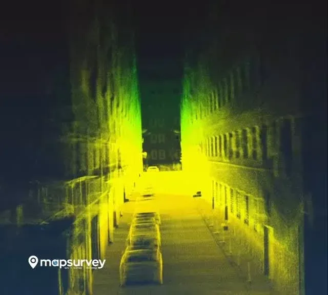
The last quarter of the year is when factories plan next year’s investments: a new production line, a machine replacement, a mezzanine, a rooftop PV system, a new fire protection system. Most of these projects are designed on the basis of old drawings. The trouble is that those drawings rarely show a plant that has changed many times over the years.
The cost of starting from old drawings
Over time, partitions appear between columns, pipe racks and cable trays are rerouted, machines move and annexes are added. When a project is designed without knowing this, the problems usually surface on installation day:
- The new machine clashes with a beam soffit or an existing pipeline.
- Column grids differ from the drawing and steelwork has to be corrected on site.
- Ceiling heights or door openings do not fit the transport and crane plan.
- Installation is delayed and production stands still for longer than planned.
All of this can be avoided by measuring the plant properly once, at the start.
What is handheld SLAM scanning?
SLAM (simultaneous localisation and mapping) is a method in which the scanner calculates its own position as it moves and records its surroundings as a point cloud. The operator walks through the building with the scanner in hand, and walls, columns, machinery, pipework and ceiling geometry are recorded with every step. No tripod has to be set up and moved.
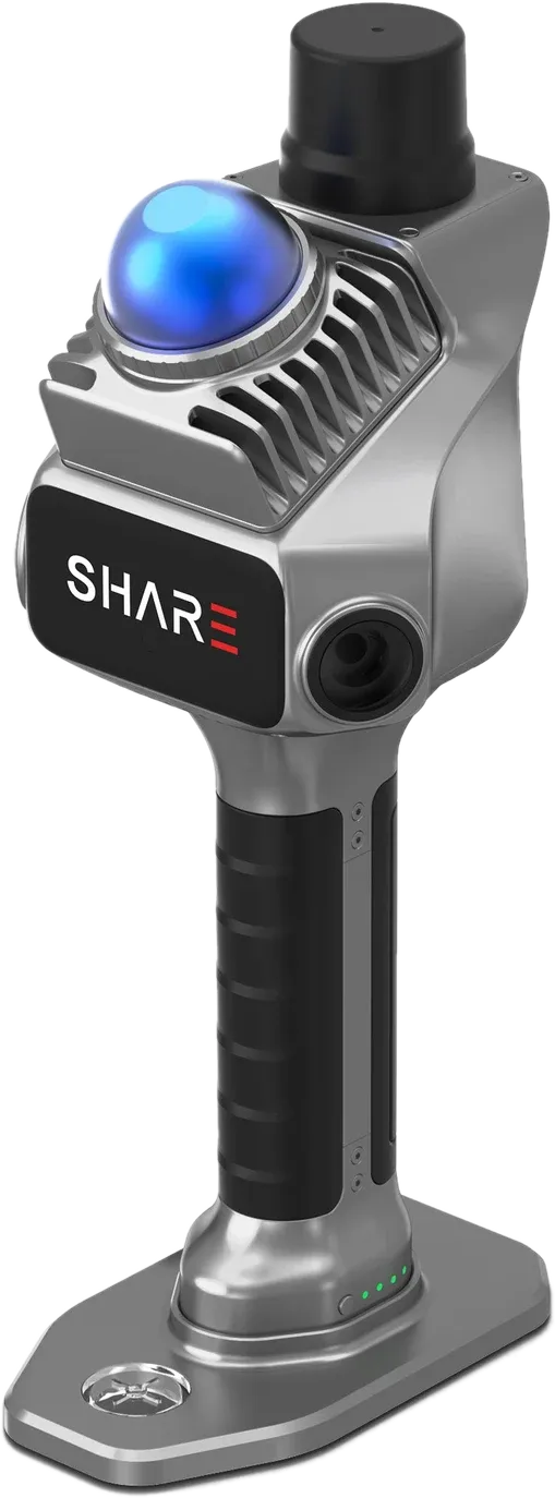
In the field we use the SHARE SLAM S20 handheld scanner.
In a factory, the real advantage of the method is speed and access. Narrow passages, stairs, mezzanines, boiler rooms and roof voids can be captured in a single walk.
Without stopping production
We scan in line with the site’s health and safety rules, accompanied by your staff if required and using designated walkways. Running lines are recorded from a safe distance; areas where machinery has to be scanned up close are scheduled for shift changes, breaks or maintenance stops. There is no need to stop production just for the survey.
Where the accuracy comes from
On long, one-way routes, small position errors can accumulate in a SLAM scan. To prevent this we plan routes as closed loops and tie the scan to control points measured on site. Critical areas with very tight installation tolerances get additional check measurements. The deviations at the control points are reported with the delivery.
What you receive
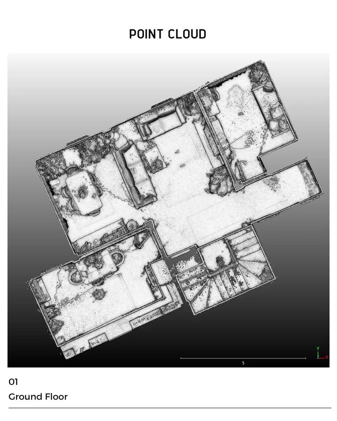
A horizontal section through the point cloud becomes the basis of the floor plan.
- Registered point cloud (E57, LAS, RCP)
- Floor plans, sections and elevations (DWG)
- Column grids, beam soffit levels and machine layout
- On request, a BIM model derived from the scan (IFC)
- On request, an orthophoto and 3D model of the exterior, roofs and car parks by drone
All data is merged in one coordinate system and shared through MapSurvey Portal, so the project team can take measurements in the point cloud without installing heavy software.
Five questions for planning
- Which areas will be scanned: the whole plant or only the expansion area?
- What level of detail does the drawing need: walls and columns, or pipes and cable trays as well?
- Which delivery format: DWG, IFC or the point cloud only?
- Which coordinate system will the project use?
- Who has to grant access, and at what times is an escort needed?
Let us measure your plant
If you would like the current state of your facility measured before an expansion or refurbishment, see our 3D laser scanning service and our 3D model and area survey from oblique flights of an industrial site, or simply get in touch.