
Stream improvement survey through a village
How a 1.9 cm orthophoto, longitudinal profiles and cross-sections every 10 metres gave the base for improving two stream branches through a settlement.
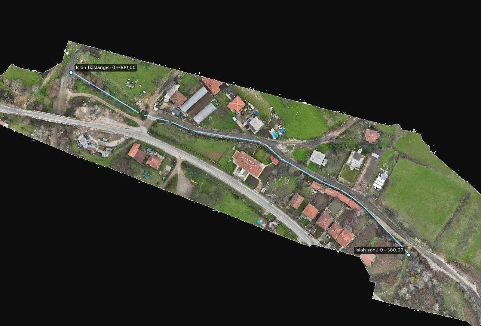
The hardest parts of stream improvement projects are the sections that run through built-up areas. In a channel that winds between houses, garden walls, roads and culverts, the designer wants to know every metre. In Vize, Kırklareli, we prepared this base for two branches of a stream running through a village.
A very high-resolution orthophoto
The area was flown by drone at low altitude to produce an orthophoto with 1.9 cm resolution. At this resolution, channel edges, existing walls, culvert openings and garden boundaries can each be read individually.
Longitudinal profiles and cross-sections
Longitudinal profiles were produced along the improvement alignment, 670 m on branch A and 380 m on branch B. Cross-sections were taken every 10 metres, extending 30 m to the left and right of the centreline. Culverts along the alignment were marked separately.
Ready for the designer
The drawings, longitudinal profiles and cross-sections were delivered in NetCAD format, together with an alignment list and a KMZ file that opens in Google Earth. This lets the design team work from the same data both in the office and on site.
You can find images from the project on the project page.