
Survey for improving streams through a village
- Category
- Base mapping
- Location
- Vize, Kırklareli
- Year
- 2026
- Purpose
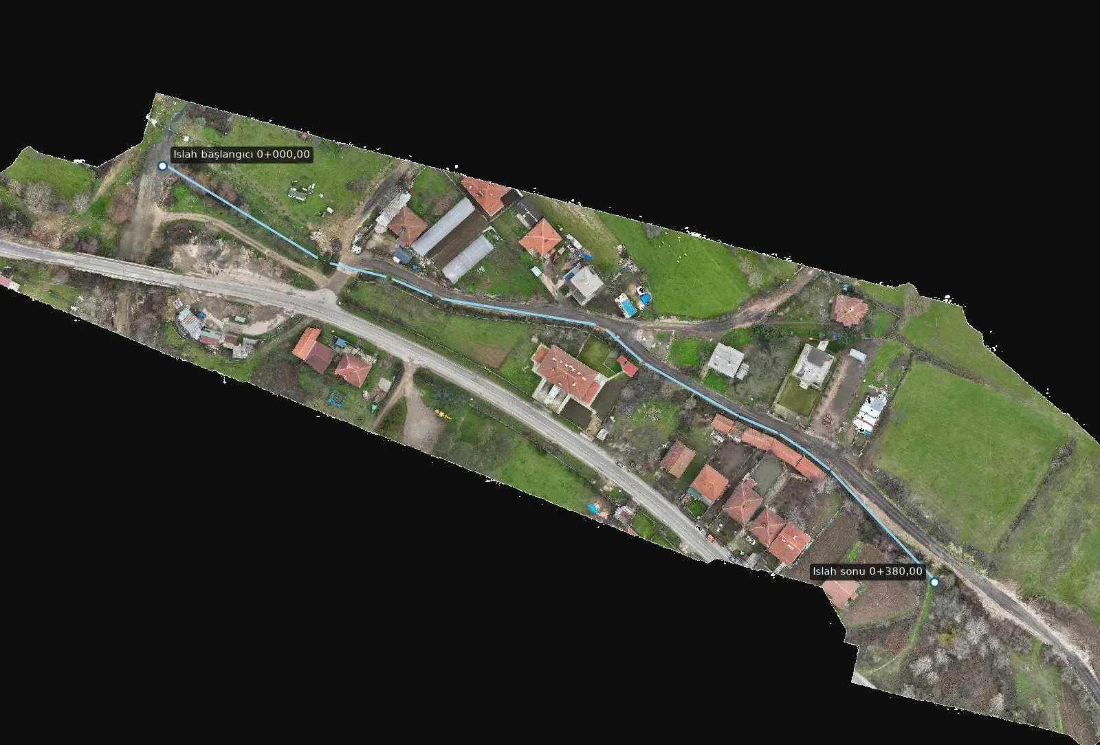
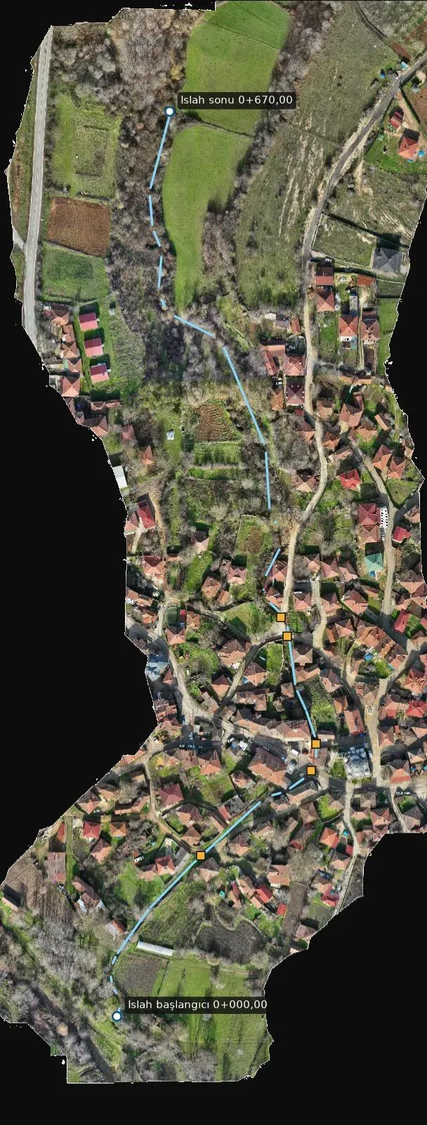
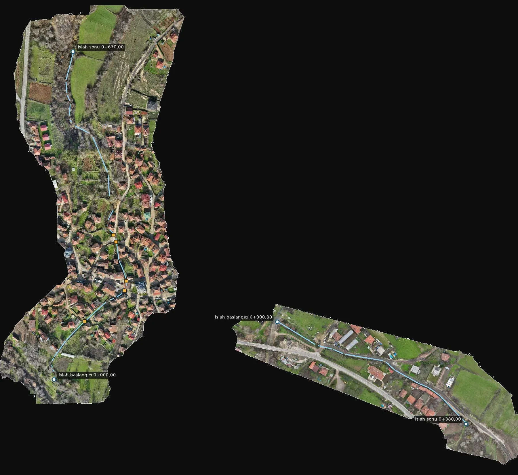
- To prepare the alignment, longitudinal profiles and cross-sections for improving two stream branches.
- How it was done
- The area was flown by drone at 1.9 cm resolution, with a cross-section taken every 10 metres along the alignment.
- Deliverables
- An orthophoto, alignment and culvert drawing, longitudinal and cross-sections (NetCAD) and a KMZ file.
Let's talk about your project.
Tell us where the site is and what you need, and we'll agree the method and timeline together. Quotes are usually ready within 2–3 working days.