
Topographic base mapping for wind farm projects
How we produced a topographic base map of about 7,980 hectares for three wind farm sites in Kırklareli with a GNSS network, hybrid capture and stereo restitution.
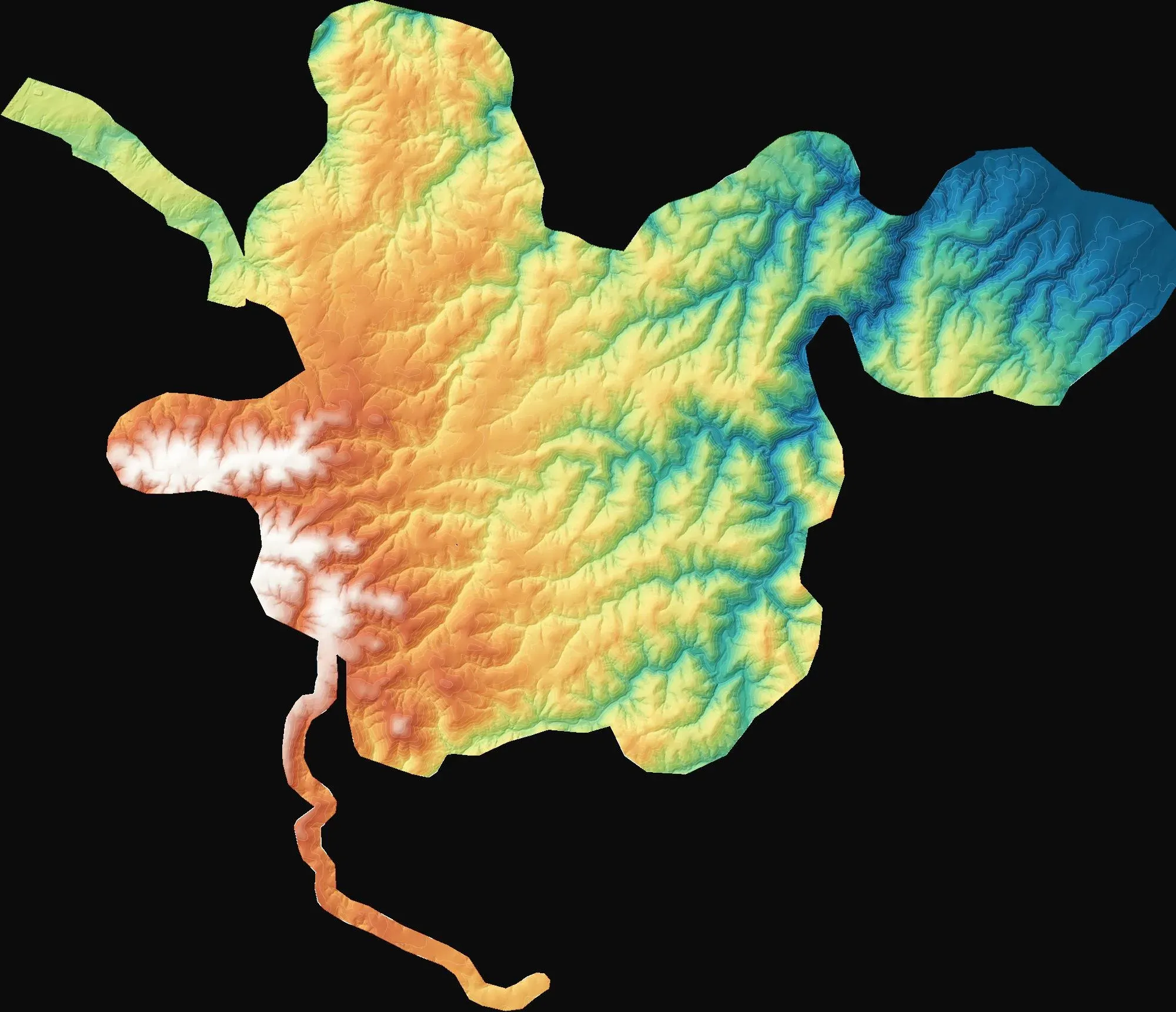
On paper, a wind farm starts with a reliable topographic base map of the site. Turbine positions, access roads, the switchyard and expropriation boundaries are all drawn on it, and the zoning plan and the 7/A approval process run on the same map sheets. Near Demirköy in Kırklareli, we produced this base map for three separate wind farm sites covering a total of about 7,980 hectares.
The network first: C3 points and TUSAGA-Aktif
On a job of this scale, the accuracy of the map depends on the geodetic network set up long before anything is flown. We ran static GNSS sessions of about 2.5 hours on C3-order points spread across the sites, then adjusted the network by tying it to nine TUSAGA-Aktif continuously operating reference stations. Coordinates were brought from the observation epoch to the reference epoch using velocity values, and the map sheets were produced in the ITRF96 datum, in a 3-degree zone with a central meridian of 27°. Ground control points were marked with fabric targets that remain clearly visible from the air, even on forest tracks.
A local geoid for heights
The ellipsoidal height that GNSS delivers is not the orthometric height used in the project. We built a local geoid model from the TG2020 undulation values of the General Directorate of Mapping’s C3 points, and used it to convert the elevation model and contours to orthometric heights.
Hybrid capture: photogrammetry and LiDAR together
The survey was flown in hybrid mode with a Zenmuse P1 photogrammetry camera and a Zenmuse L2 LiDAR, using RTK/PPK. The orthophoto was produced at 5 cm GSD, and the topographic detail was compiled by stereo restitution. The adjustment included 42 ground control points, with a total error of 2.29 cm at these points. The real test, however, is the 41 independent check points left out of the adjustment: there, the total error was 8.45 cm. A report without check points does not tell you how accurate a map really is.
Deliverables
For each wind farm we prepared an orthophoto, an orthometric digital elevation model, contours, stream and catchment drawings, and topographic map sheets at 1:1000 and 1:5000. Calculation reports covering the methodology, network adjustment, geoid computation and control point errors were submitted for approval.
You can find images from the project on the project page. If you need a topographic base map for a wind or solar power project, let’s assess the site together.