
Drone LiDAR for stream improvement: a 5.4 km corridor
How a terrain model, contours and a sheet-based topographic base map were produced with drone LiDAR along a densely vegetated stream corridor.
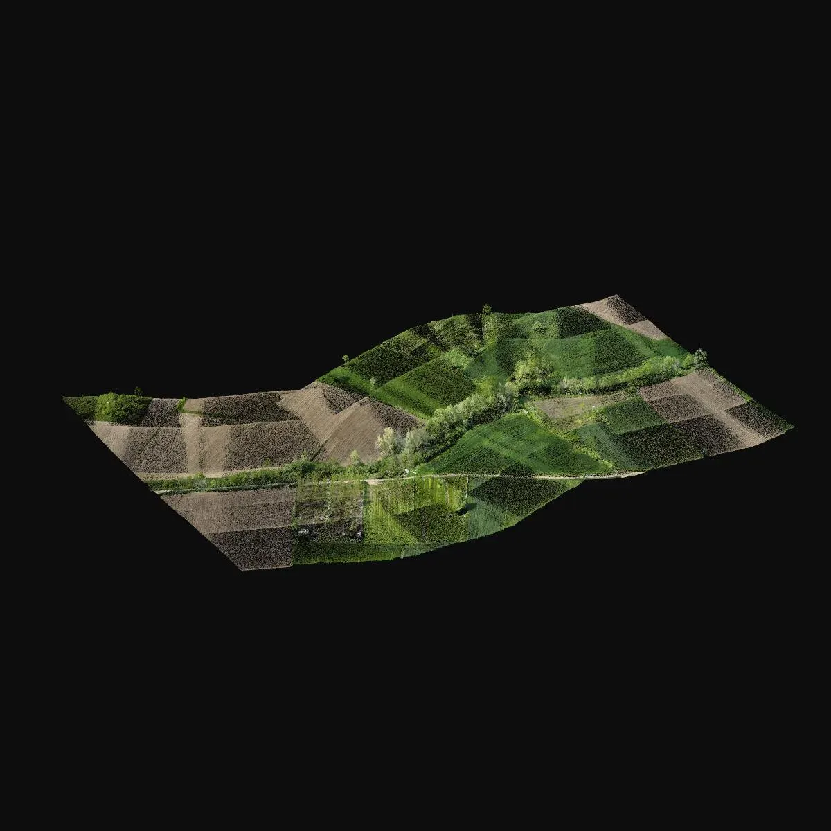
In stream improvement and flood projects, the most critical information is the true geometry of the channel and its banks. Stream banks are often covered in trees and scrub, so methods that rely on imagery alone struggle to see the ground. That is why we used drone LiDAR on a stream corridor about 5.4 km long in Kırklareli.
Scanning along the corridor
LiDAR also records the laser returns that reach the ground through vegetation. The roughly 1 billion points collected along the corridor were processed in blocks and tied to coordinates using ground control points.
From ground to map
The point cloud was classified to separate out the ground points, and a terrain model at 0.5 m resolution was generated along with contours. Together with the orthophoto from the same scan, this was used to prepare the topographic base drawing, spot heights and sheet layout.
Why LiDAR?
In long, narrow corridors, ground survey is slow and still leaves gaps because of the banks and dense vegetation. Drone LiDAR covers the corridor quickly and gives the design team a continuous model of the channel.
You can find images from the project on the project page.