
LiDAR topographic mapping of a stream corridor
- Category
- LiDAR
- Location
- Kırklareli
- Year
- 2026
- Purpose
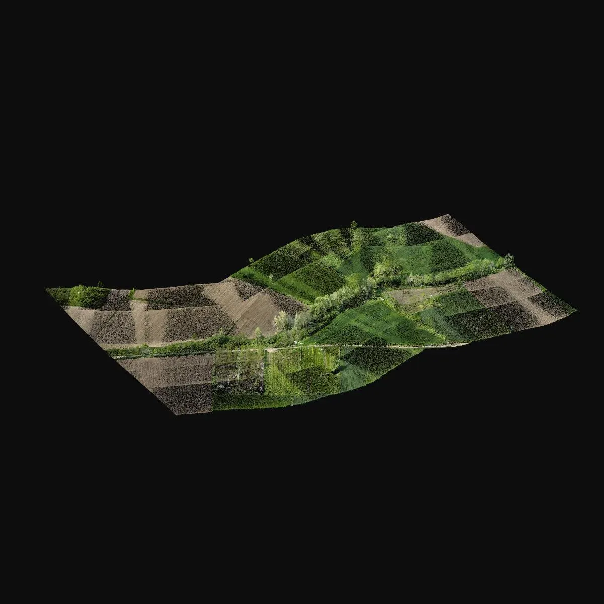
- To capture the channel and surrounding topography as the base for a stream improvement project.
- How it was done
- The 5.4 km corridor was scanned with drone LiDAR and ground points beneath the vegetation were classified.
- Deliverables
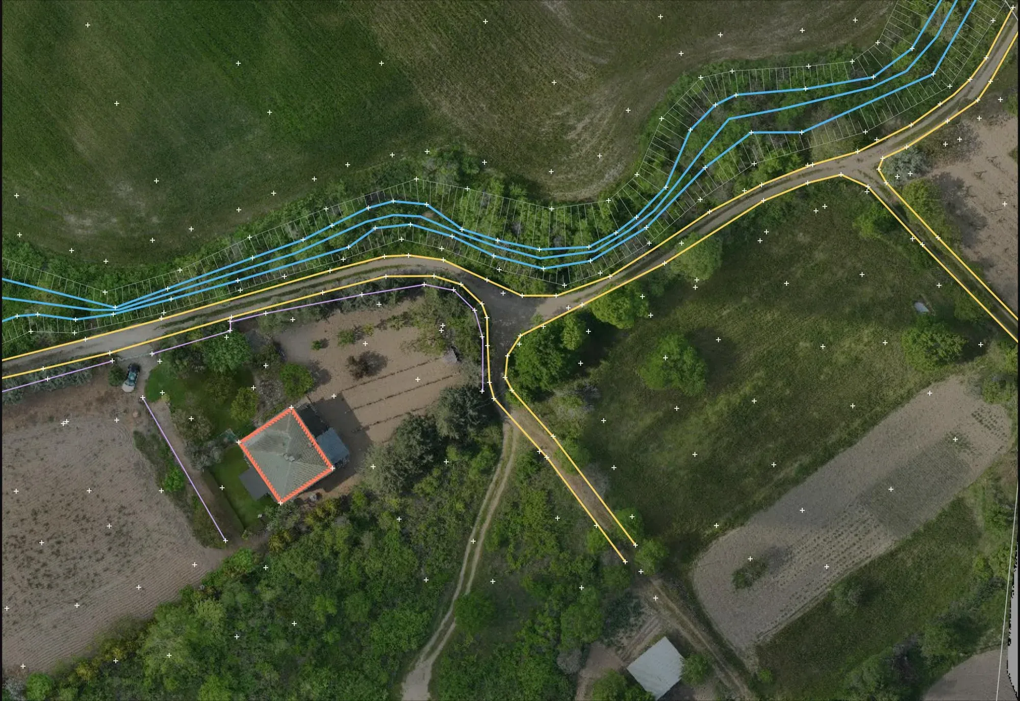
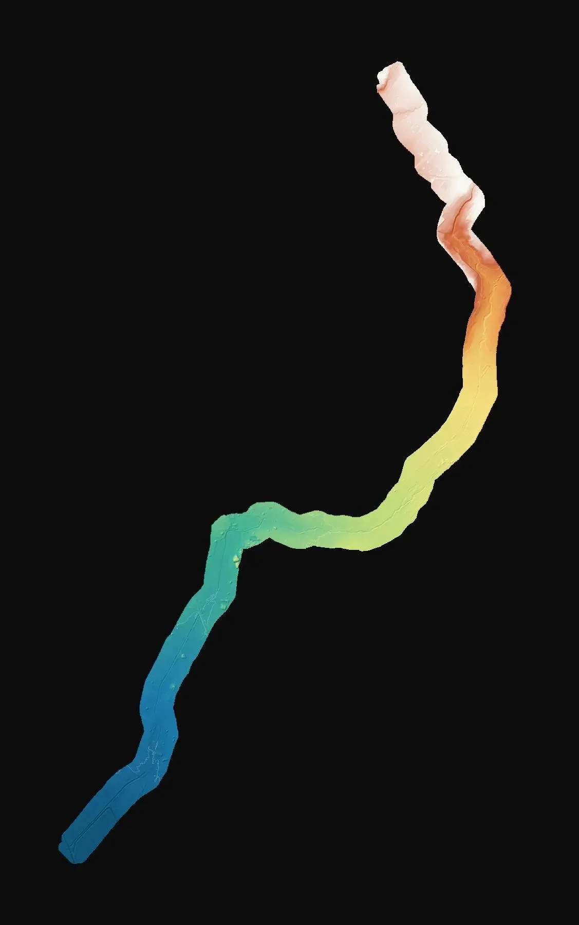
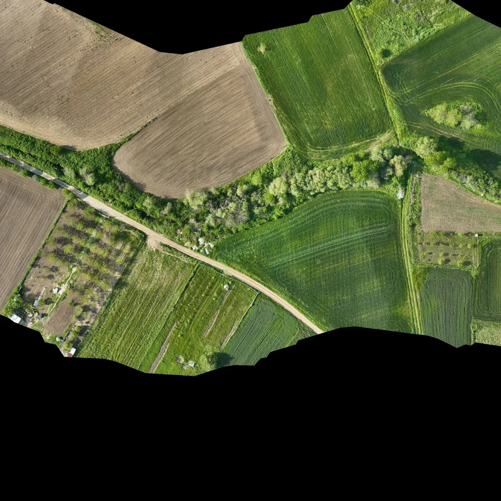
- A terrain model, contour lines, an orthophoto and a topographic map split into sheets.
Let's talk about your project.
Tell us where the site is and what you need, and we'll agree the method and timeline together. Quotes are usually ready within 2–3 working days.