
Topographic survey for a road junction project
- Category
- Base mapping
- Location
- Ergene, Tekirdağ
- Year
- 2026
- Purpose
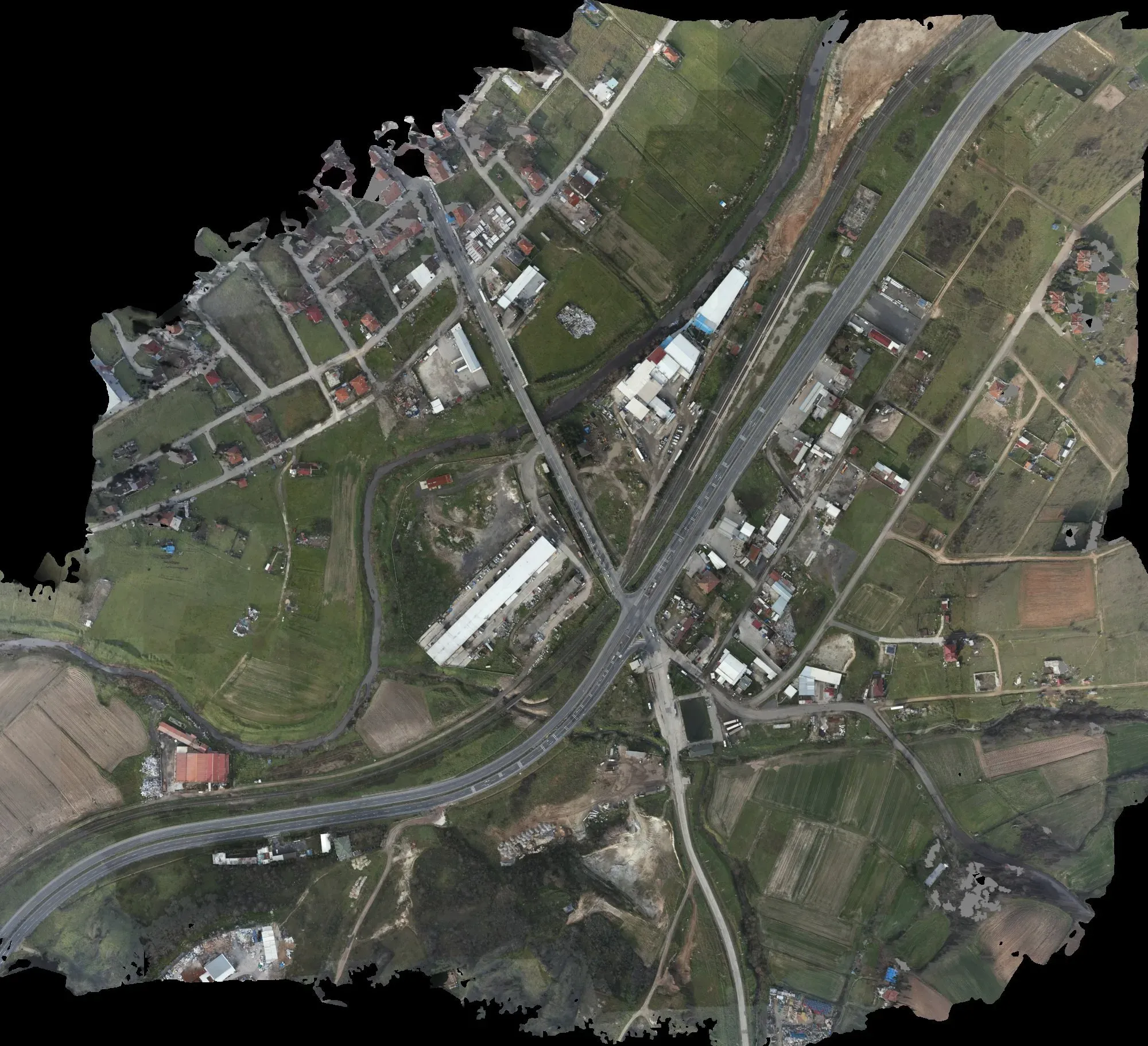
- To prepare the topographic base map for a road junction design.
- How it was done
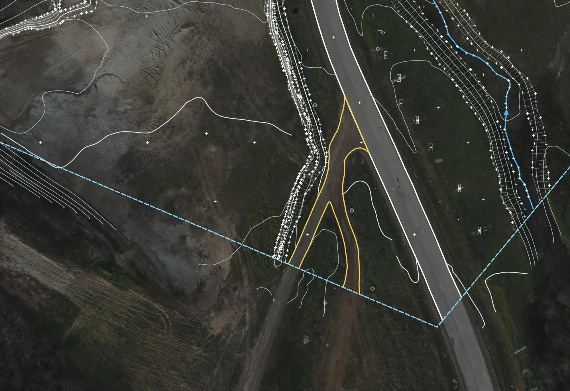
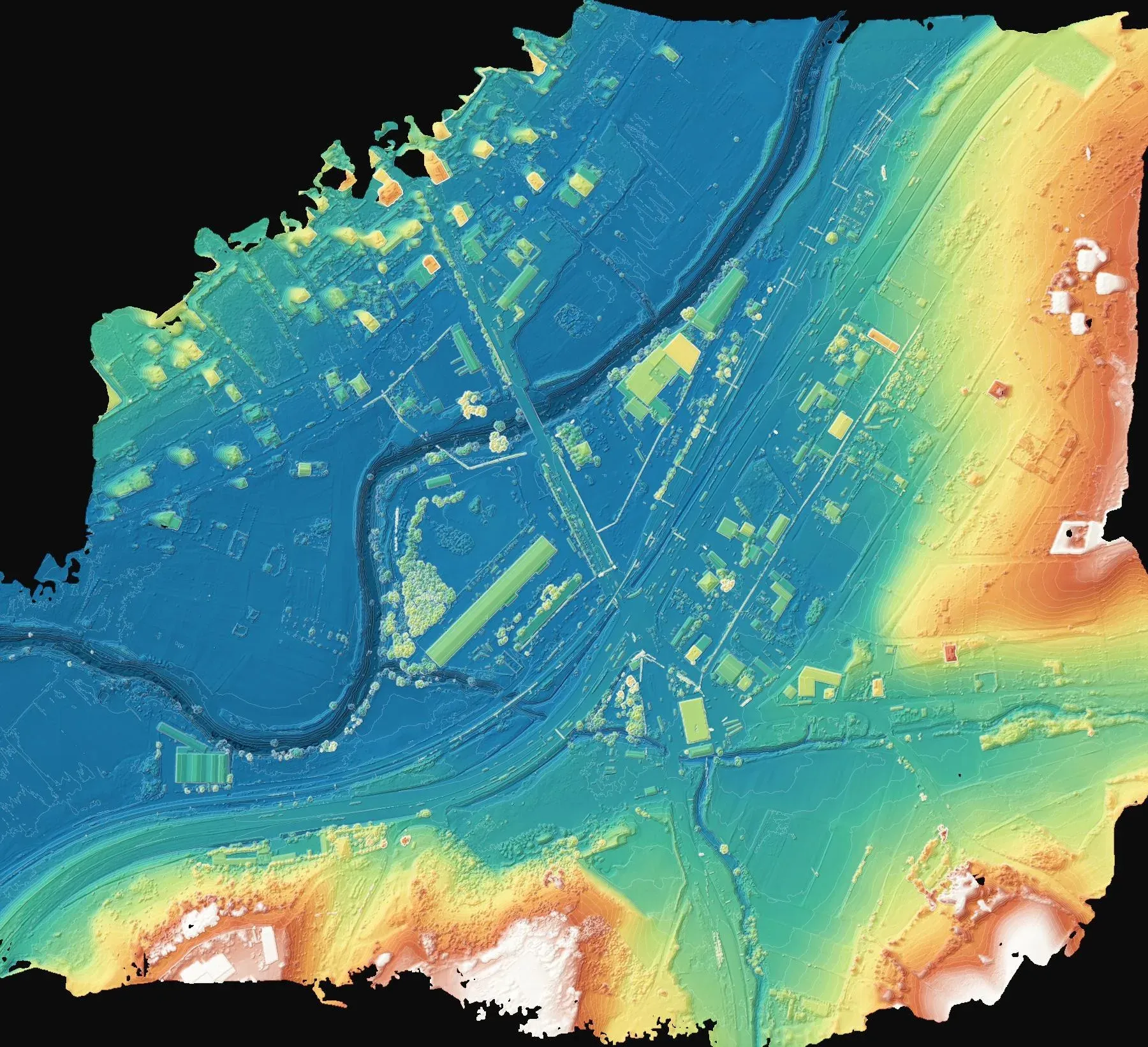
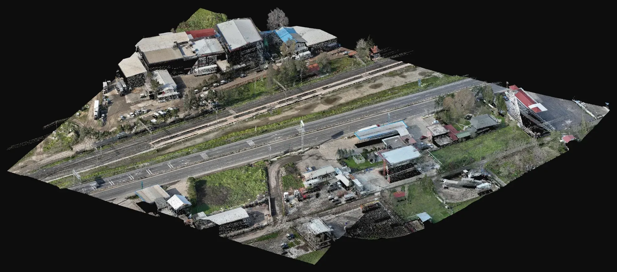
- About 113 hectares were surveyed with drone photogrammetry at 4.7 cm resolution and with drone LiDAR; the drawings were compiled from the orthophoto and point cloud.
- Deliverables
- Topographic map (NetCAD, DWG), triangulated model and contours, surface model and KMZ.
Let's talk about your project.
Tell us where the site is and what you need, and we'll agree the method and timeline together. Quotes are usually ready within 2–3 working days.