
LiDAR mapping for a stream improvement project
- Category
- LiDAR
- Location
- Babaeski, Kırklareli
- Year
- 2026
- Purpose
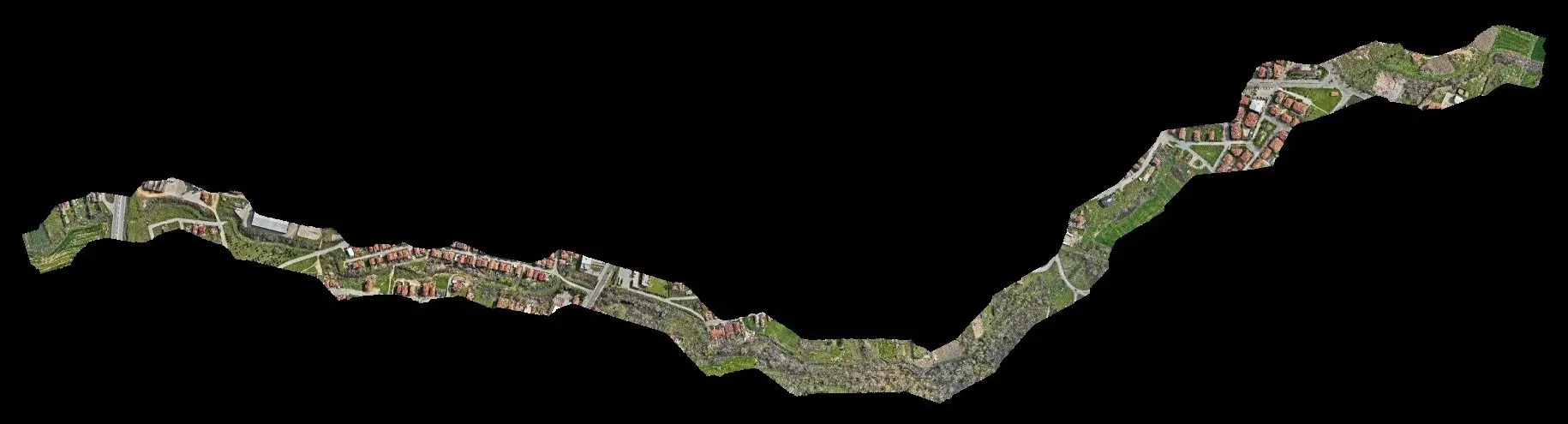
- To map the channel, banks and nearby structures of a stream for its improvement project.
- How it was done
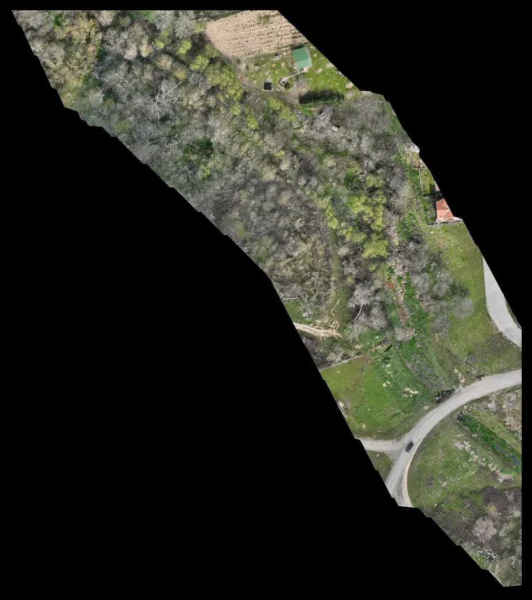
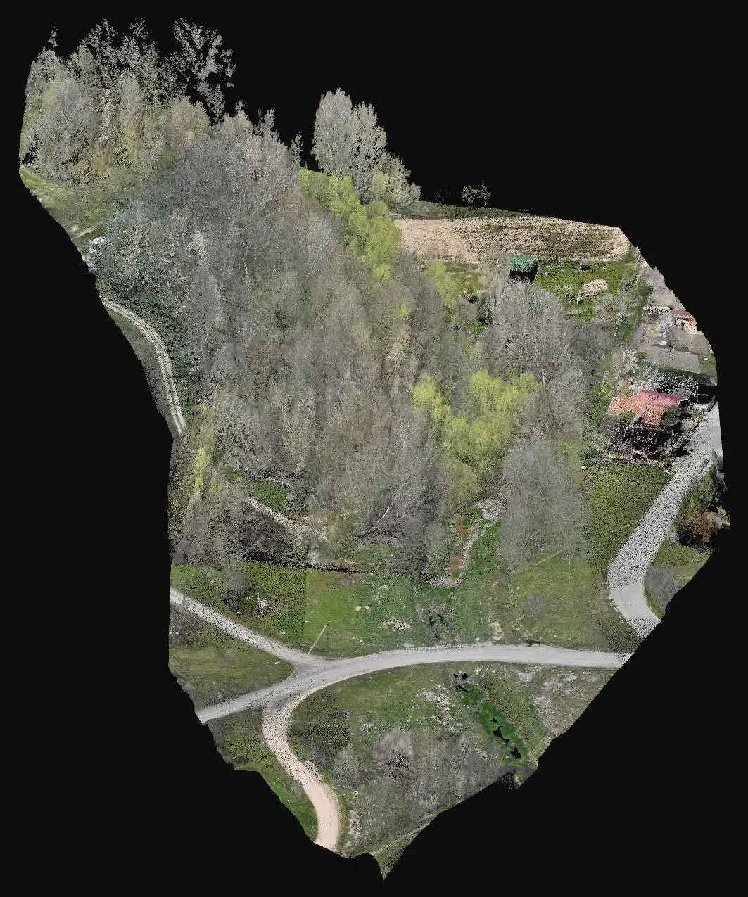
- A stream corridor of about 53 hectares was scanned with drone LiDAR and tied to ground control points; the ground under the vegetation was separated in the point cloud.
- Deliverables
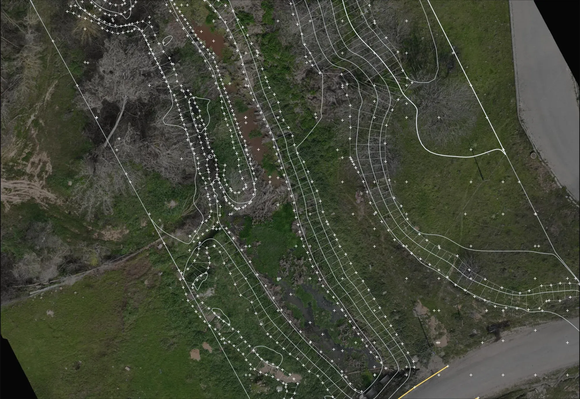
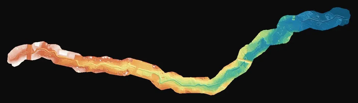
- Topographic drawing with roads, culverts, walls, banks and contours, an alignment drawing, a 2.1 cm orthophoto and a terrain model.
Let's talk about your project.
Tell us where the site is and what you need, and we'll agree the method and timeline together. Quotes are usually ready within 2–3 working days.