
Spot-height survey by drone
- Category
- Base mapping
- Location
- Tekirdağ
- Year
- 2026
- Purpose
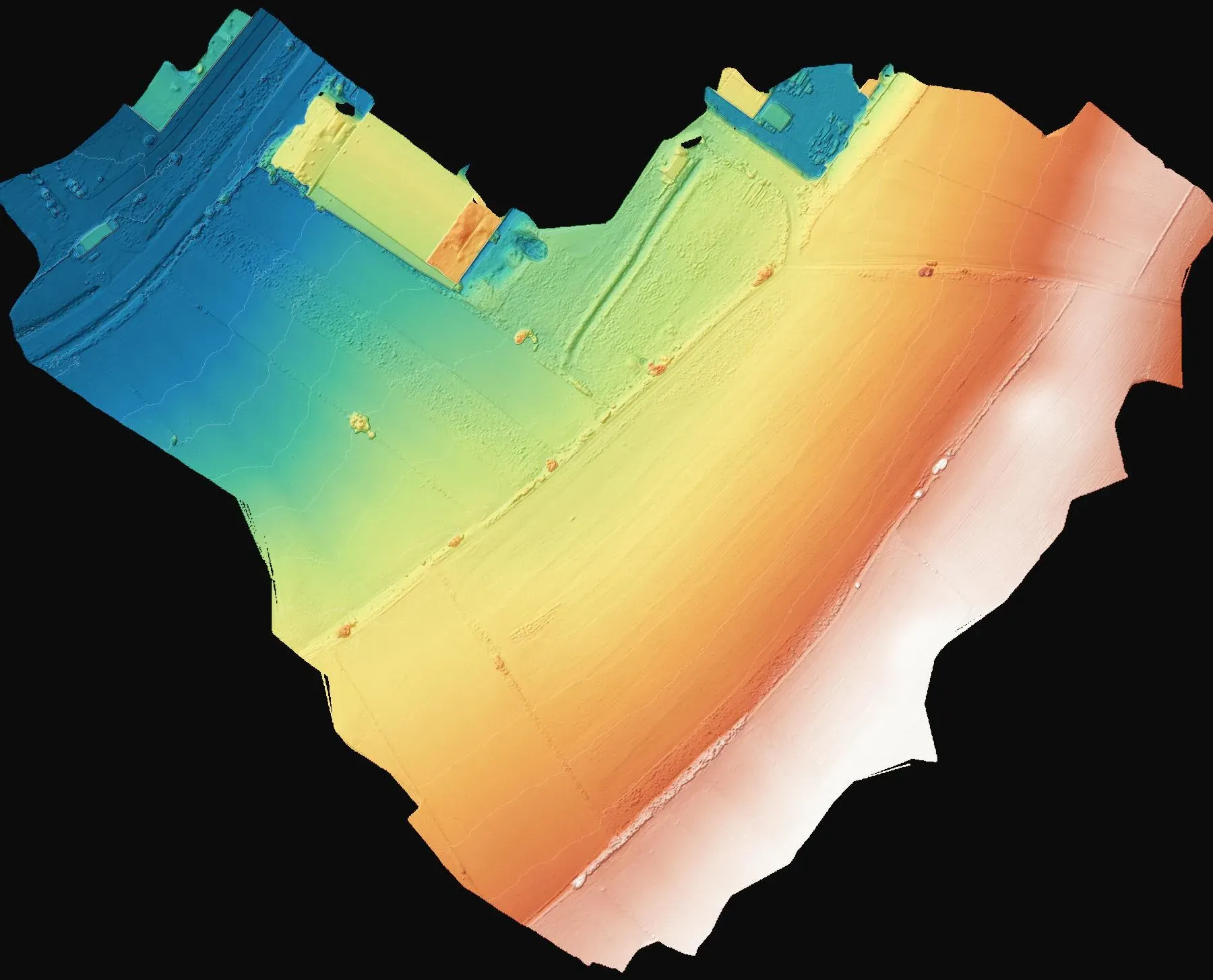
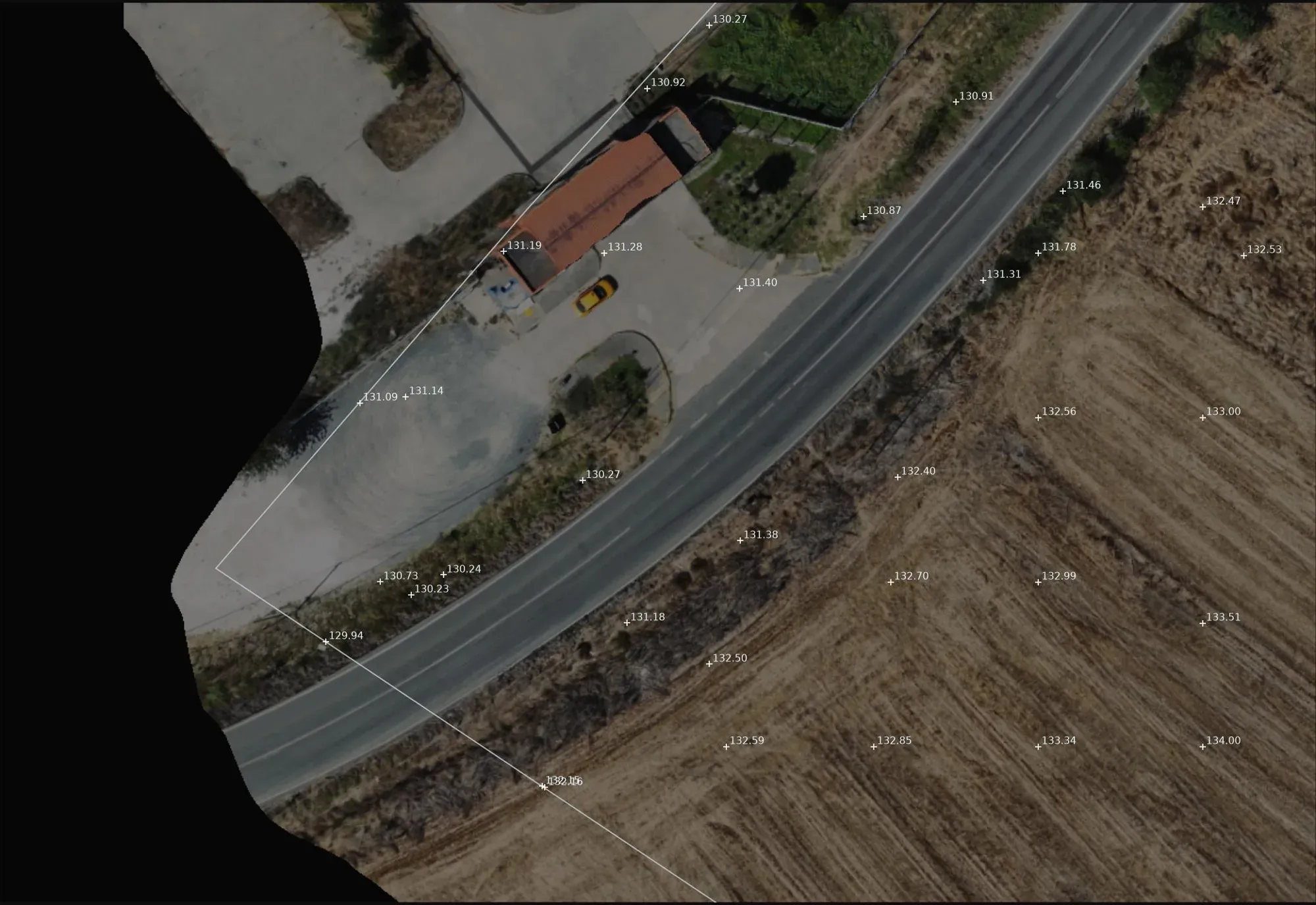
- To produce a spot-height plan for the design of the plot.
- How it was done
- A surface model was built with PPK drone photogrammetry and the ground points were extracted.
- Deliverables
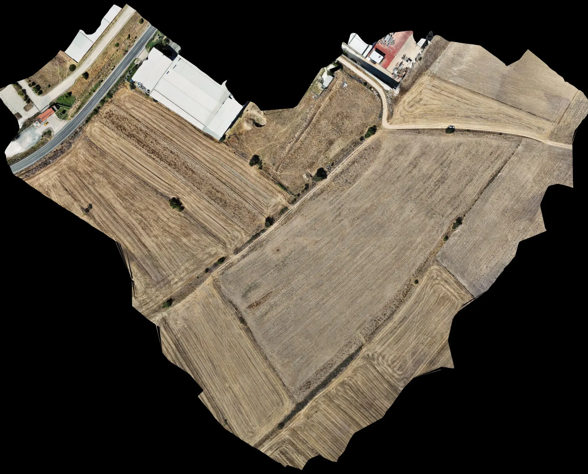
- A spot-height drawing (DXF) and a 10 cm orthophoto, delivered in two days.
Let's talk about your project.
Tell us where the site is and what you need, and we'll agree the method and timeline together. Quotes are usually ready within 2–3 working days.