
Spot heights and orthophoto for site design
- Category
- Base mapping
- Location
- Arnavutköy, İstanbul
- Year
- 2026
- Purpose
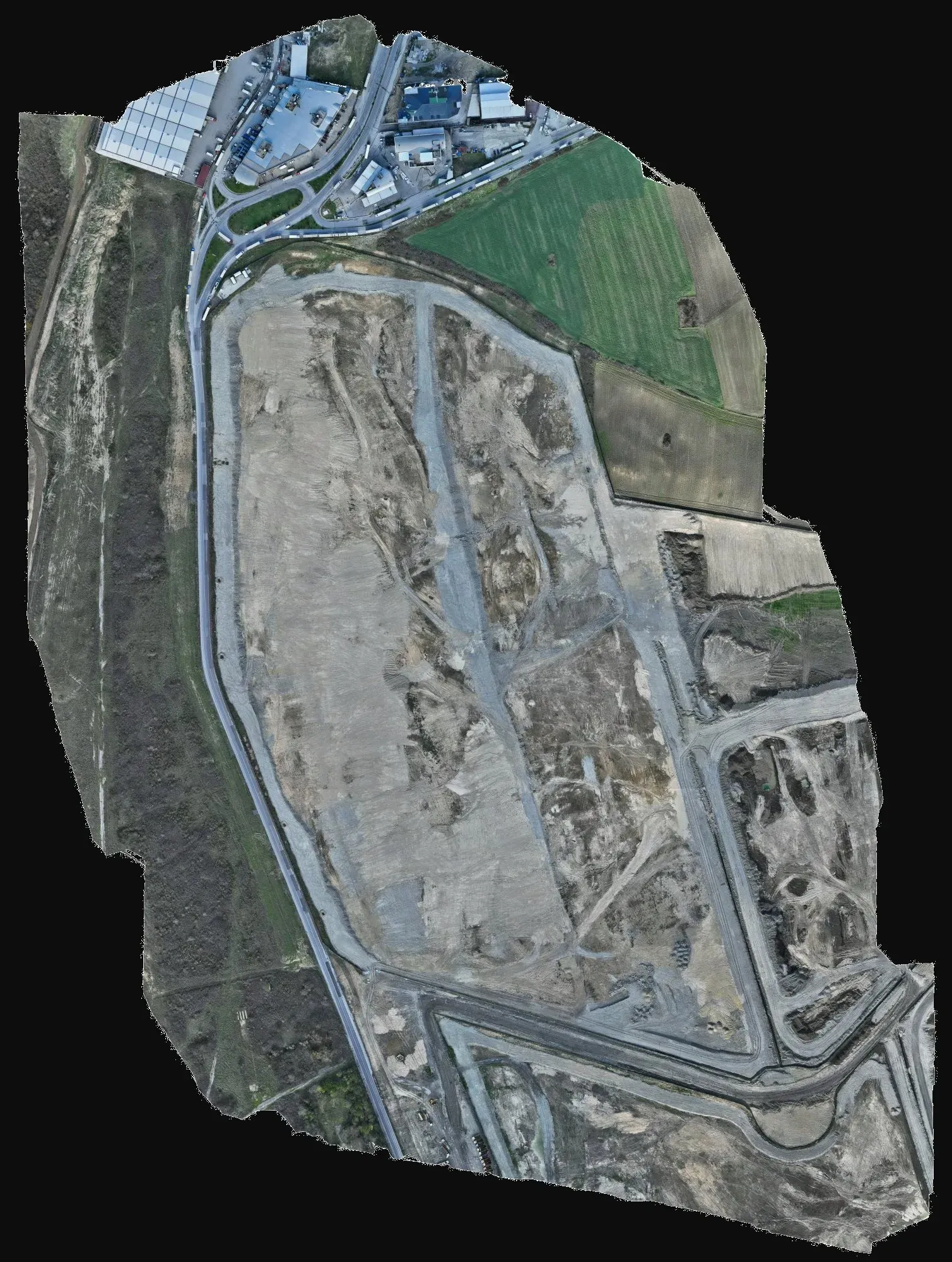
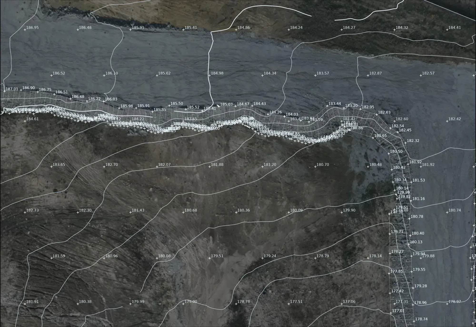
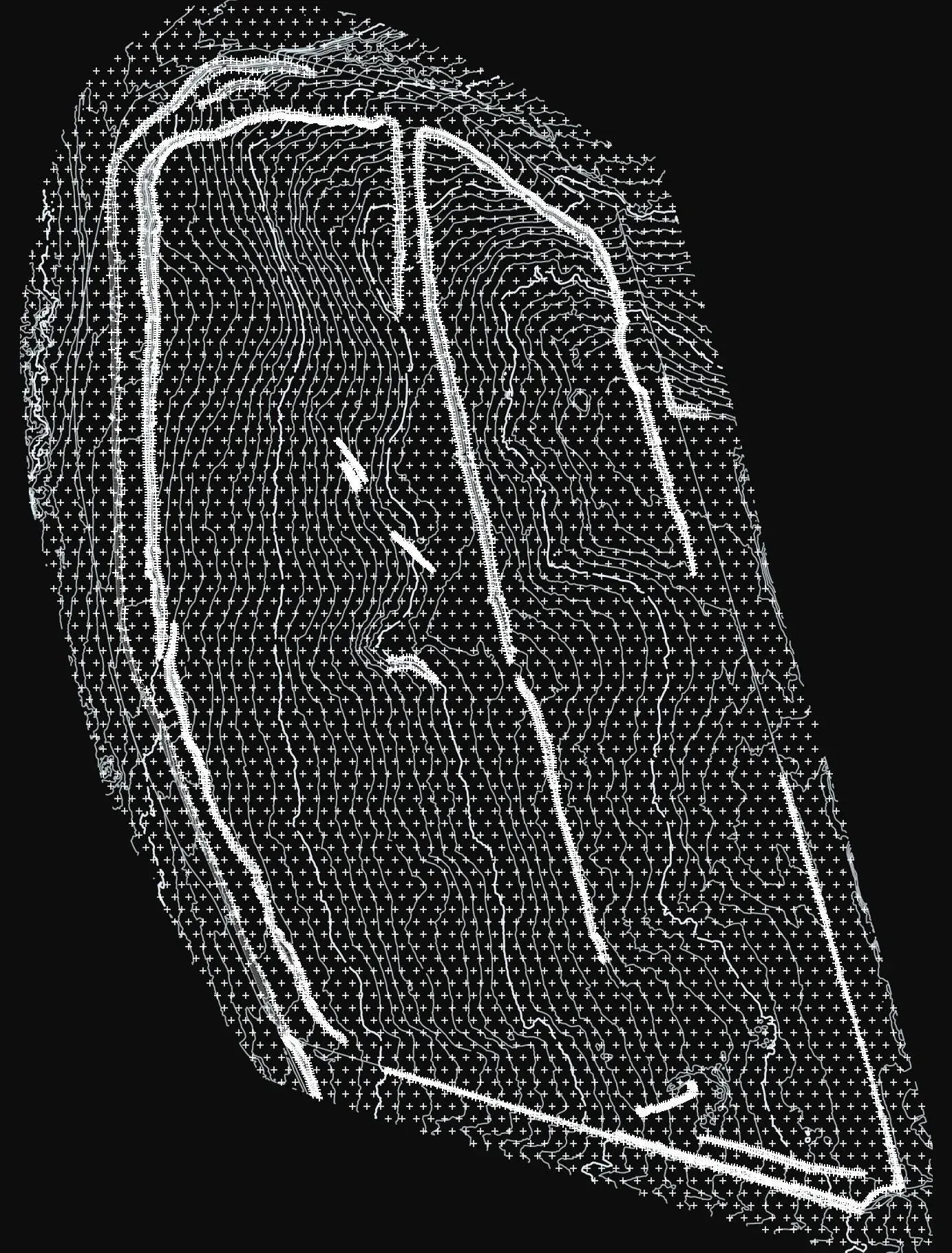
- To prepare an up-to-date spot height drawing and orthophoto for the design of a building plot.
- How it was done
- The area was flown by drone photogrammetry and tied to the ITRF coordinate system; elevations were taken from the surface model.
- Deliverables
- Spot height drawing (NetCAD, DWG) and orthophoto (ECW).
Let's talk about your project.
Tell us where the site is and what you need, and we'll agree the method and timeline together. Quotes are usually ready within 2–3 working days.