
LiDAR elevation survey for park areas
- Category
- LiDAR
- Location
- Çerkezköy, Tekirdağ
- Year
- 2026
- Purpose
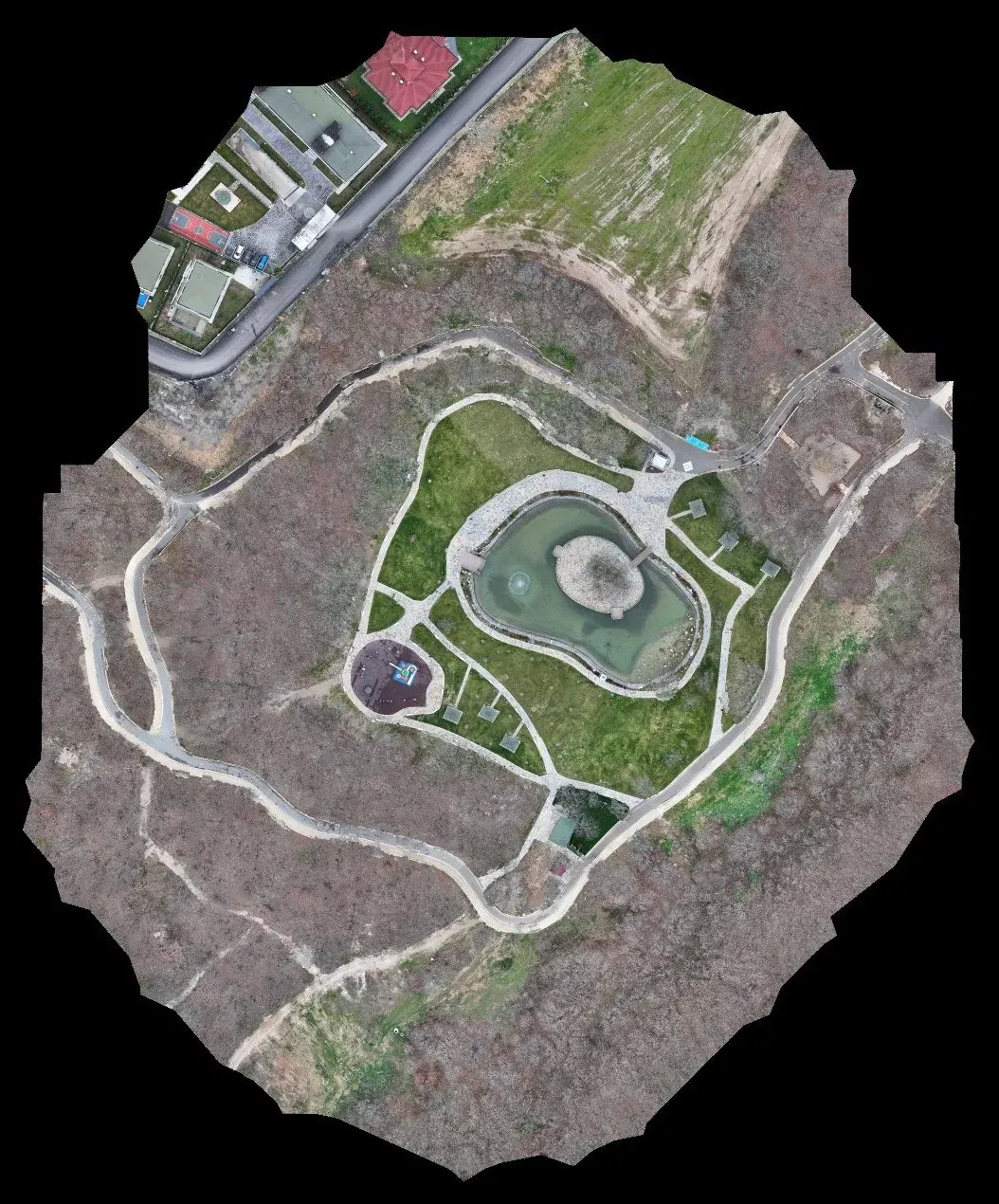
- To record the elevations needed for park and urban forest landscaping on three hilltop areas.
- How it was done
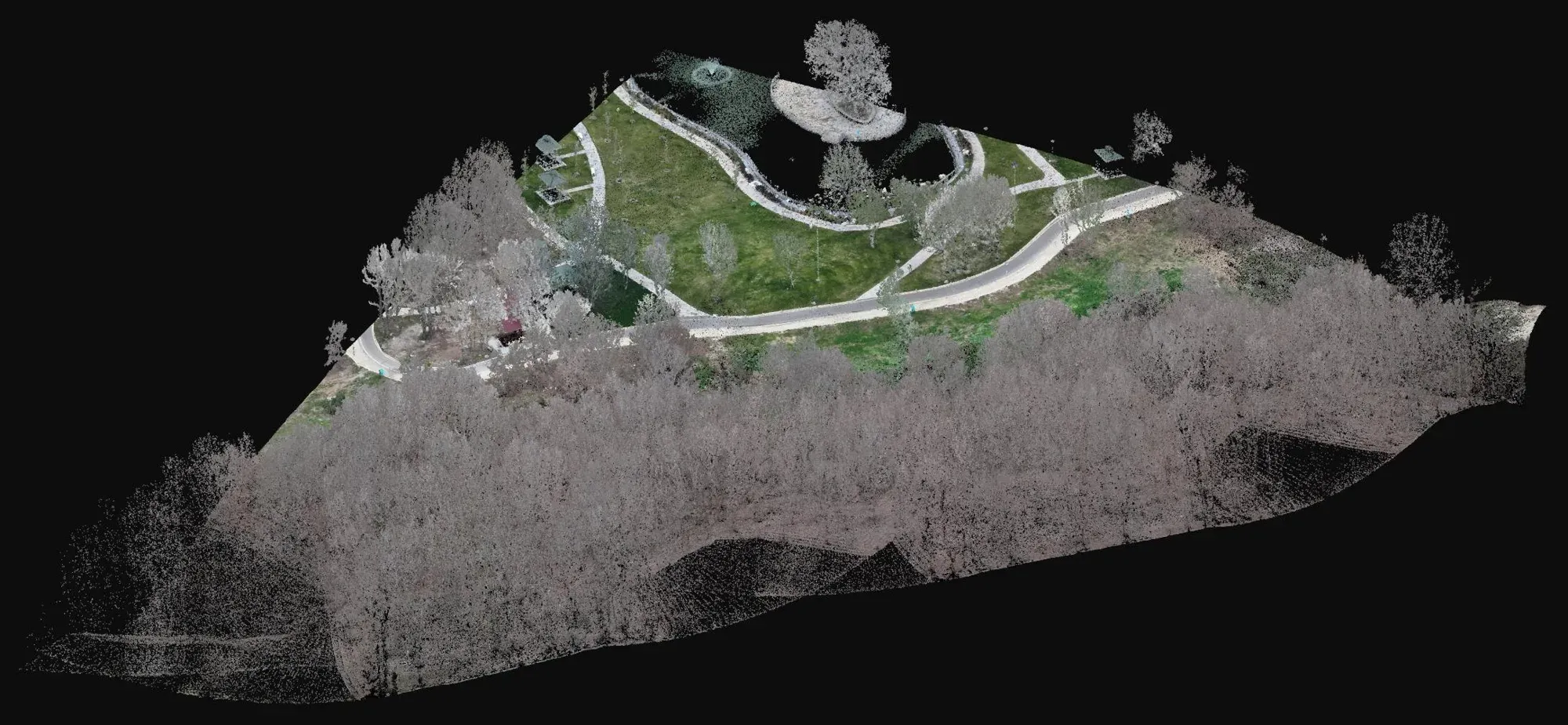
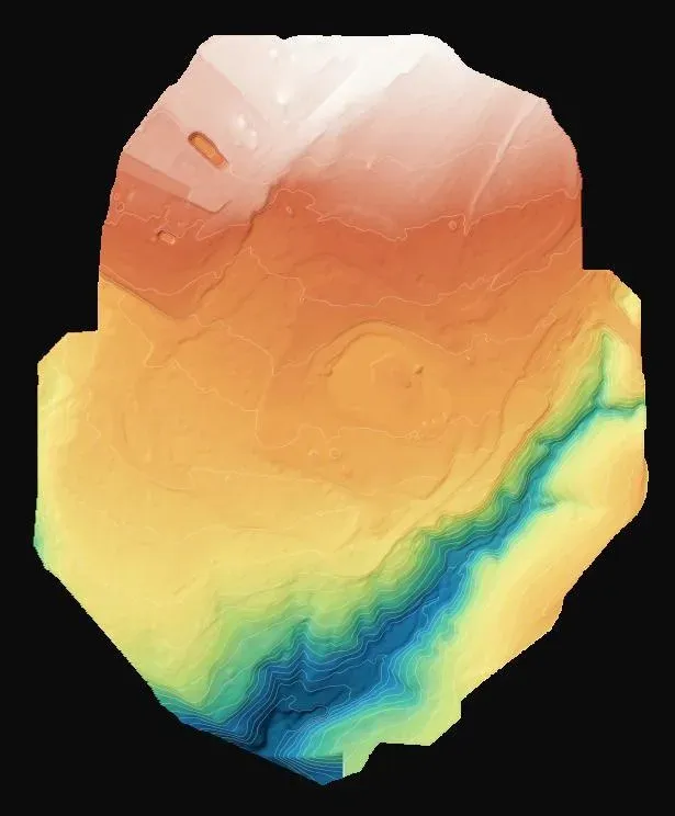
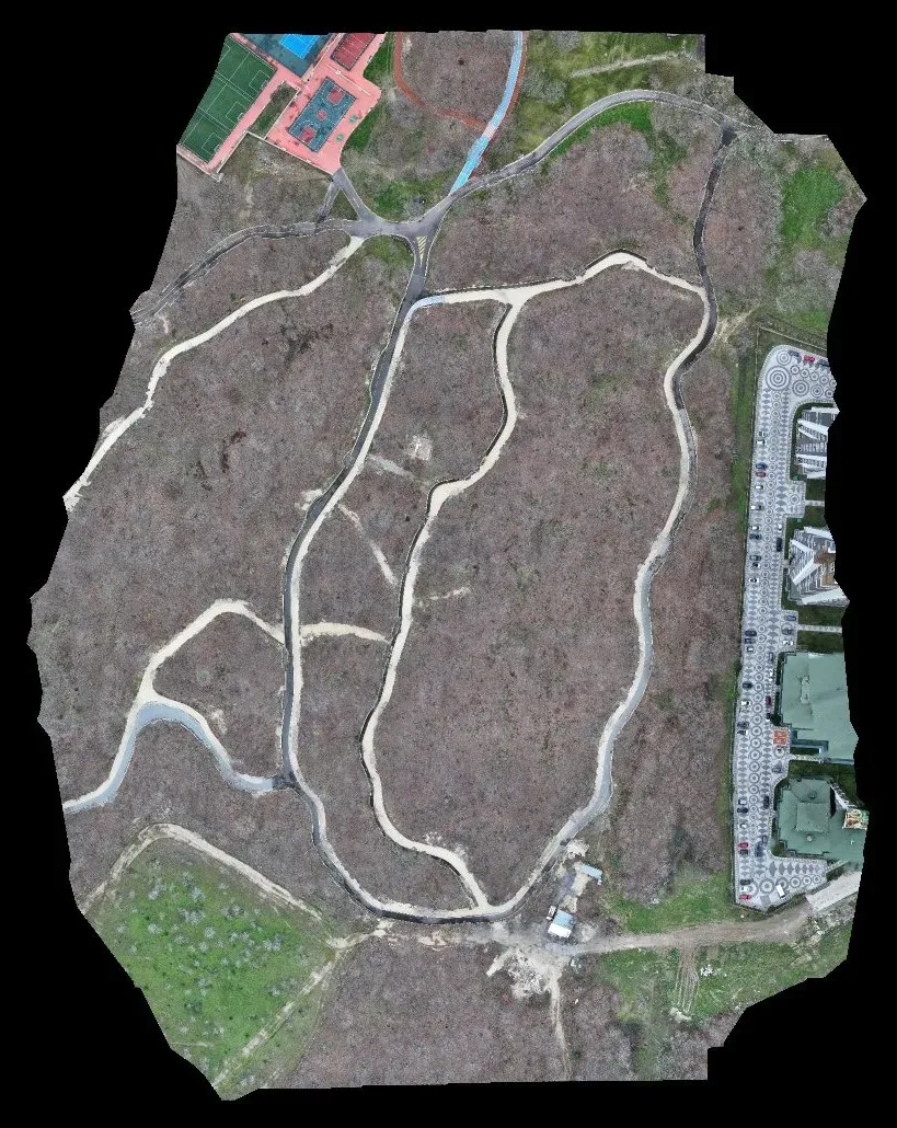
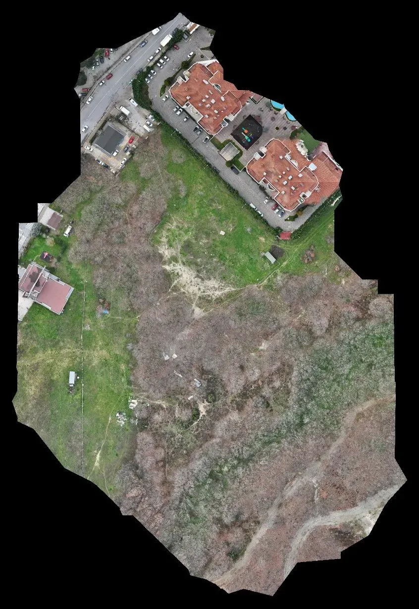
- The wooded and scrub-covered areas were scanned with drone LiDAR; ground points were separated to produce a terrain model and a 2.1 cm orthophoto.
- Deliverables
- Elevation points (DXF), terrain model and orthophoto for three areas totalling about 31 hectares.
Let's talk about your project.
Tell us where the site is and what you need, and we'll agree the method and timeline together. Quotes are usually ready within 2–3 working days.