
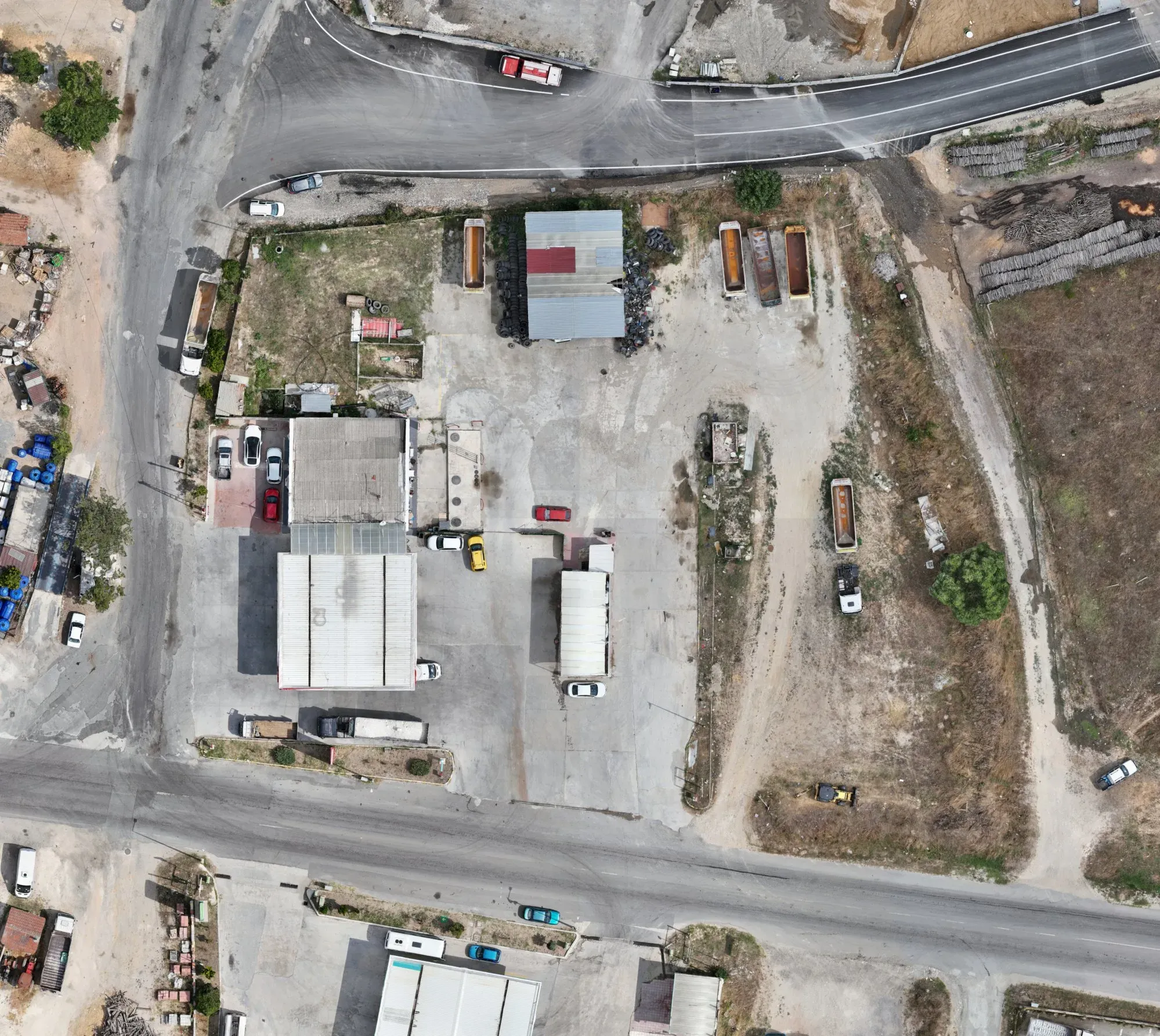
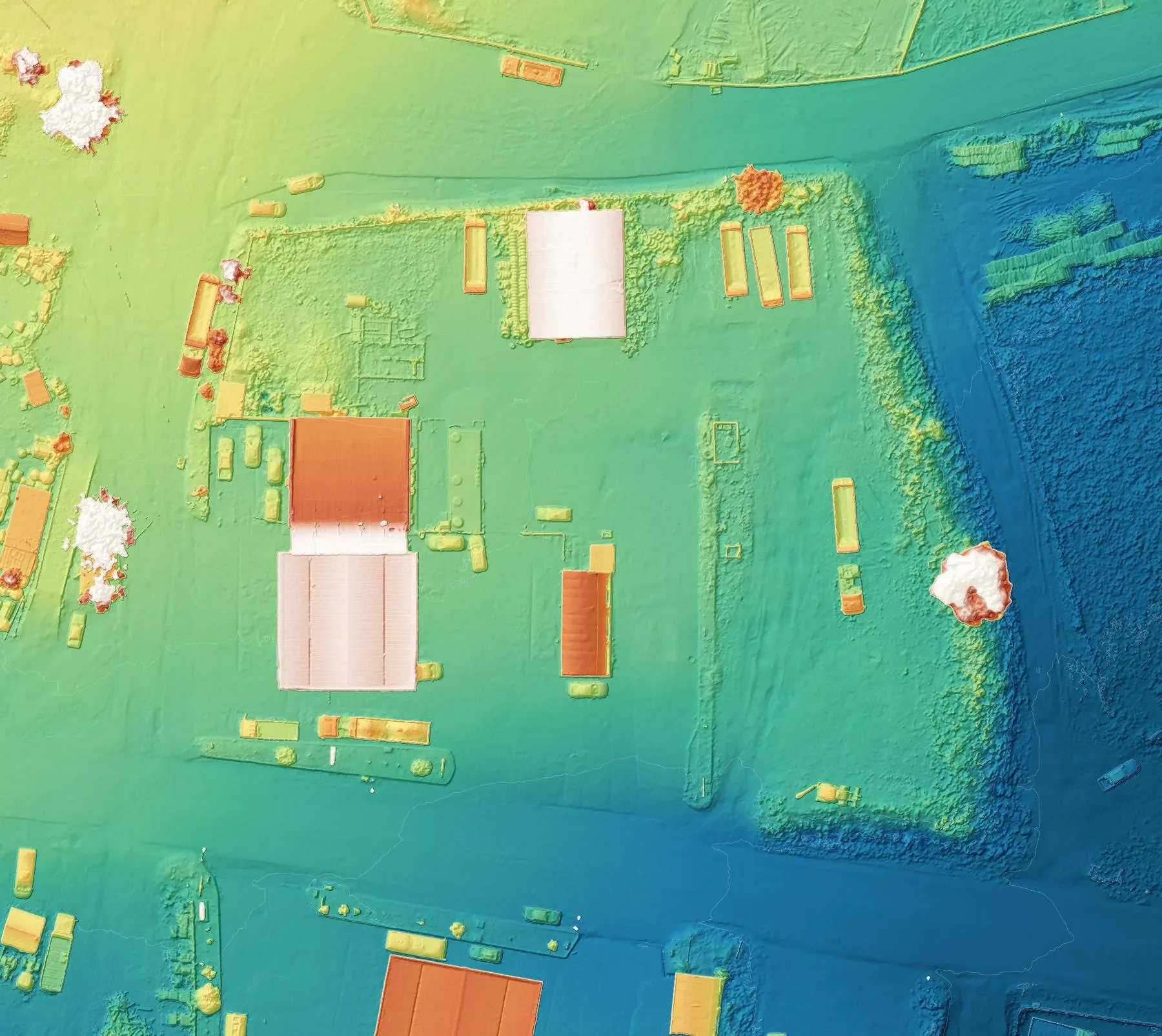
Topographic survey of a fuel station plot
- Category
- Base mapping
- Location
- Saray, Tekirdağ
- Year
- 2026
- Purpose
- To produce an up-to-date map of the fuel station plot and its surroundings.
- How it was done
- Surveyed by drone photogrammetry and tied to ground control points.
- Deliverables
- An orthophoto, a surface model and a topographic drawing.
Let's talk about your project.
Tell us where the site is and what you need, and we'll agree the method and timeline together. Quotes are usually ready within 2–3 working days.